Old Maps of Cabin City, Montana for Hiking & Exploration
Hike through history with 13 historic maps of Cabin City. Explore old trails, ghost towns, and forgotten backroads — perfect for outdoor adventurers and local explorers.
- Rediscover forgotten places: Map out old mining camps, roads, and footpaths that no longer exist on modern maps.
- Layer with modern tools: Combine with LiDAR or satellite views to plan hikes through historical terrain.
- Made for exploration: Popular among hikers, overlanders, and local history lovers.
Use these maps to find adventure and explore the hidden past of Cabin City.
Cabin City, MT maps
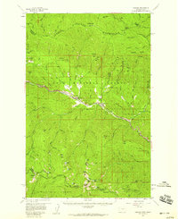
(13)- 1918 Map of St Regis, 1946 Print
 1918 St Regis1946 Print · USGSMineral County, Montana, was a bustling corridor for mining and rail traffic during the early twentieth century. Researchers can trace the path of the Northern Pacific through St Regis or locate remote sites like the Gold Crown Mine and Gold Nugget Cabin.
 - 1919 Map of St. Regis
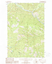
 1919 St. Regis1919 Print · USGSThe Montana-Idaho borderlands were a hub of mountain mining and transcontinental railroading during the early twentieth century. Genealogists and historians can locate remote settlements like DeBorgia and Henderson or trace old mining operations such as the Saltese Consolidated Mine and Gold Crown Mine.
 - 1956 Map of Wallace, 1966 Print
 1956 Wallace1966 Print · USGSWestern Montana and the Idaho panhandle meet in this mid-century survey of the Bitterroot and Cabinet Mountains. Genealogists and historians can trace the rail-and-river economy through the Northern Pacific line and settlements like Thompson Falls or St. Ignatius.3 unique versions available
 - 1957 Map of Haugan, 1959 Print
 1957 Haugan1959 Print · USGSMineral County mining and railroading are at their peak in the late fifties as two major rail lines traverse the St. Regis River valley. Genealogists and historians can locate old mountain settlements like De Borgia and trace the proximity of the Saltese Consolidated Mine to early forest service outposts like Up Up Lookout.2 unique versions available
 - 1960 Map of Wallace
 1960 Wallace1960 Print · USGSNorthwestern Montana and the Idaho panhandle are captured in the late fifties, showing the vast Flathead Indian Reservation and the mining districts of the Bitterroot Range. Researchers can trace the rail lines of the Northern Pacific or locate early sites like the Morning Mine and the National Bison Range.
 - 1988 Map of De Borgia South
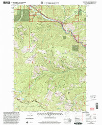
 1988 De Borgia South1988 Print · USGSIn the late 1980s, the Mineral County highlands were a network of forest service lookouts and river-valley rail towns. Researchers can trace the path of the Northern Pacific Railroad past De Borgia and Henderson, or locate the Drexel (Site) and a riverside Cem.
 - 1994 Map of Wallace
 1994 Wallace1994 Print · USGSThe Bitterroot Mountains and the mining heart of the Silver Valley are captured here in the mid-1990s. Researchers can locate active and historic mineral operations such as the Argentine Mine and Last Chance Mines, while tracing the Milwaukee Road through the high passes.
 - 1999 Map of De Borgia South, 2003 Print
 1999 De Borgia South2003 Print · USGSThe Bitterroot Mountains at the Montana-Idaho border are captured here in the late 1990s as a landscape of deep national forests and remote mining sites. Historians can trace the Aladdin Mine or the Drexel (Site) alongside high-altitude landmarks like the Up Up Mountain Lookout.
 - 2011 Map of De Borgia South, 2011 Print
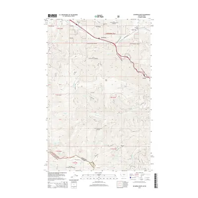
 2011 De Borgia South2011 Print · USGSCovers Cabin City, including Drexel, Henderson, and other nearby areas
 - 2014 Map of De Borgia South, 2014 Print
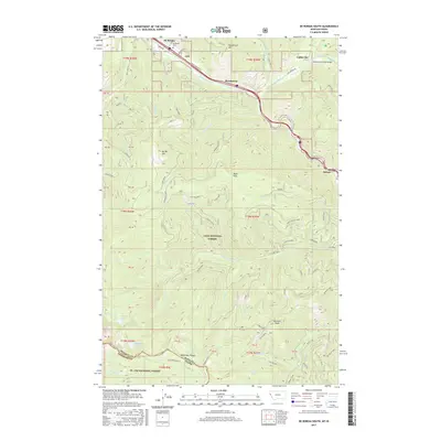
 2014 De Borgia South2014 Print · USGSCovers Cabin City, including Drexel, Henderson, and other nearby areas
 - 2017 Map of De Borgia South, 2017 Print
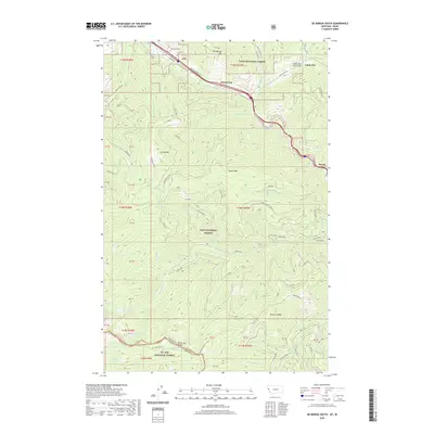
 2017 De Borgia South2017 Print · USGSCovers Cabin City, including Drexel, Henderson, and other nearby areas
 - 2020 Map of De Borgia South, 2020 Print
 2020 De Borgia South2020 Print · USGSCovers Cabin City, including Drexel, Henderson, and other nearby areas
 - 2024 Map of De Borgia South, 2024 Print
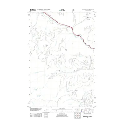
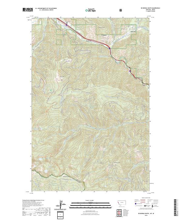 2024 De Borgia South2024 Print · USGSMineral County's mountainous western edge is captured here in the early twenty-first century, centered on the Saint Regis River corridor. Genealogists and rail historians can locate the De Borgia Cem and trace the historic Route of the Olympian through Henderson and Drexel.
End of results
Showing maps 1-13 of 13
Top cities near Cabin City
Frequently asked questions
- What are the different types of historical maps available for Cabin City?
- What is the oldest map of Cabin City?
- Where can I purchase historical maps of Cabin City for my home or office?
- Where can I download high-res historical maps of Cabin City?
- Are there historical topographic maps available for Cabin City?
- Is there historical aerial imagery available for Cabin City?
- Where are historical maps of Cabin City sourced from?