Old Maps of Jardine, Montana
Explore 16 old maps of Jardine, spanning from 1891 to today. These high-resolution historic maps reveal how streets, neighborhoods, landmarks, and natural features evolved over time — perfect for genealogy, metal detecting, research, and local history exploration.
What you can do with these maps:
- See how Jardine changed over time: Compare historical maps to modern-day views to trace roads, homesites, rail lines & more.
- View detailed metadata: Each map includes creators, publishers, year, scale, and archive source.
- Overlay maps with satellite & LiDAR: Visualize the past alongside modern tools to explore terrain & human change.
- Trusted historical sources: Maps sourced from the USGS, Library of Congress, and other archives.
- Access maps your way: View online, download high-res files, or order prints for personal or research use.
Start exploring old maps of Jardine to uncover forgotten places, hidden landmarks, and the deep history beneath your feet.
Jardine, MT maps
(16)- 1891 Map of Livingston
 1891 Livingston1891 Print · USGSUpper Yellowstone River country is documented here in the late nineteenth century as the railroad transformed the valley. Genealogists and historians can trace rail-stop towns like Cokedale, the military grounds at Ft. Ellis, and the Old Crow Agency.
 - 1893 Map of Livingston
 1893 Livingston1893 Print · USGSThe Montana mountain country and the gateway to the national park are captured here in the late nineteenth century. Trace the industrial rail corridor through Livingston to mining sites like Coke and the historic Old Crow Agency.5 unique versions available
 - 1947 Map of Bozeman, 1948 Print
 1947 Bozeman1948 Print · USGSBozeman and the surrounding mountain ranges are captured here just after the war, showing the vital rail and river networks of southwestern Montana. Genealogists and historians can trace routes to early settlements like Virginia City, Gallatin Gateway, and the mountain community of Jardine.
 - 1948 Map of Bozeman, 1951 Print
 1948 Bozeman1951 Print · USGSSouthern Montana in the late 1940s is shown as a high-country crossroads of rail lines and river headwaters. Genealogists and historians can trace old town sites like Virginia City and McLeod alongside the Northern Pacific and Milwaukee Road railroads.
 - 1955 Map of Bozeman
 1955 Bozeman1955 Print · USGSBozeman and the upper Missouri River headwaters are captured here during the mid-fifties, showing the vital rail and river networks of southwestern Montana. Local historians can trace the routes of the Northern Pacific railroad through Livingston and locate smaller settlements like Trident, Anceney, and Jardine.
 - 1955 Map of Gardiner, 1958 Print
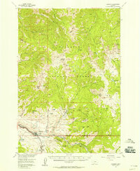 1955 Gardiner1958 Print · USGSGardiner and the northern gateway to Yellowstone appear here in the mid-1950s, just as the postwar era of park tourism was flourishing. Researchers can trace the Northern Pacific rail line to its terminus, locate the old settlement of Jardine, or follow the Hellroaring Trail through the high country.5 unique versions available
 - 1958 Map of Bozeman, 1968 Print
 1958 Bozeman1968 Print · USGSThe Gallatin and Madison River valleys are captured here in the late fifties, showing the region's transition into a modern mountain hub. Genealogists and historians can trace the paths of the Northern Pacific RR, locate the Anceney School, and see the early layout of Bozeman.3 unique versions available
 - 1965 Map of Bozeman
 1965 Bozeman1965 Print · USGSSouthwestern Montana's river valleys and mountain ranges appear in detail during the early 1960s. Genealogists and historians can trace rail-era settlements like Trident, locate the Anceney School, and see the early footprint of Montana State College.
 - 1986 Map of Gardiner
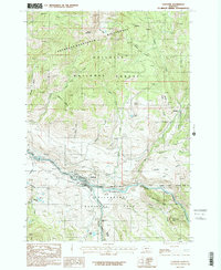 1986 Gardiner1986 Print · USGSGardiner and the northern entrance of Yellowstone National Park appear in high detail during the mid-eighties as a hub of mountain recreation and mining. Researchers can trace the Landslide Grade, locate the Cem near Jardine, and find the isolated Quarries dotting the Gallatin slopes.2 unique versions available
 - 1992 Map of Gardiner, 1993 Print
 1992 Gardiner1993 Print · USGSThe northern gateway to Yellowstone and the high peaks of the Absaroka Range are captured here in the early nineties. Researchers can trace historic settlements like Jardine and Chico Hot Springs or locate the North Entrance near Gardiner.2 unique versions available
 - 2000 Map of Gardiner, 2005 Print
 2000 Gardiner2005 Print · USGSGardiner and the northern gateway to Yellowstone appear here at the turn of the millennium. Researchers can trace the proximity of the North Entrance to the mining history near Jardine and the Eagle Creek Flume.
 - 2011 Map of Gardiner, 2011 Print
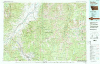
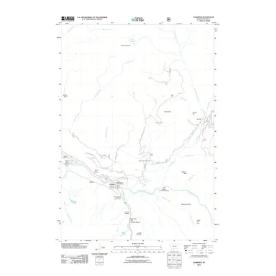 2011 Gardiner2011 Print · USGSCovers Jardine, including Gardiner, Park County, and other nearby areas
 - 2014 Map of Gardiner, 2014 Print
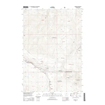 2014 Gardiner2014 Print · USGSCovers Jardine, including Gardiner, Park County, and other nearby areas
 - 2017 Map of Gardiner, 2017 Print
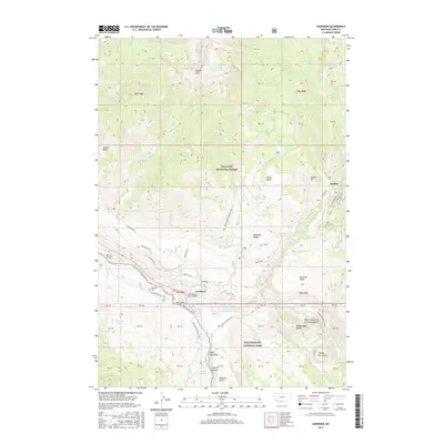 2017 Gardiner2017 Print · USGSCovers Jardine, including Gardiner, Park County, and other nearby areas
 - 2020 Map of Gardiner, 2020 Print
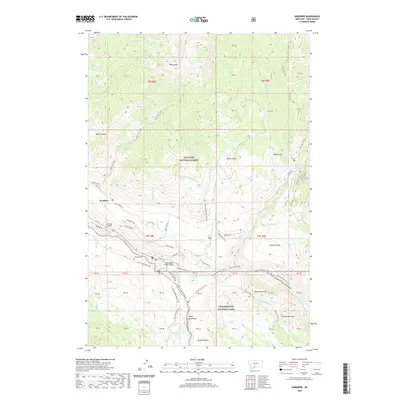 2020 Gardiner2020 Print · USGSCovers Jardine, including Gardiner, Park County, and other nearby areas
 - 2024 Map of Gardiner, 2024 Print
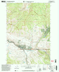
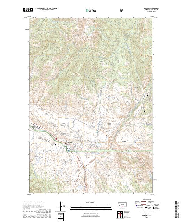 2024 Gardiner2024 Print · USGSGardiner and Jardine sit at the dramatic northern threshold of Yellowstone in the 2020s. Researchers can trace the modern town footprint near the Gardiner Cem, follow the Old Yellowstone Trail, or scout the heights of Sheep Mtn.
End of results
Showing maps 1-16 of 16
Frequently asked questions
- What are the different types of historical maps available for Jardine?
- What is the oldest map of Jardine?
- Where can I purchase historical maps of Jardine for my home or office?
- Where can I download high-res historical maps of Jardine?
- Are there historical topographic maps available for Jardine?
- Is there historical aerial imagery available for Jardine?
- Where are historical maps of Jardine sourced from?