Old Maps of Midway Hutterite Colony, Montana for Hiking & Exploration
Hike through history with 10 historic maps of Midway Hutterite Colony. Explore old trails, ghost towns, and forgotten backroads — perfect for outdoor adventurers and local explorers.
- Rediscover forgotten places: Map out old mining camps, roads, and footpaths that no longer exist on modern maps.
- Layer with modern tools: Combine with LiDAR or satellite views to plan hikes through historical terrain.
- Made for exploration: Popular among hikers, overlanders, and local history lovers.
Use these maps to find adventure and explore the hidden past of Midway Hutterite Colony.
Midway Hutterite Colony, MT maps
(10)- 1920 Map of Conrad
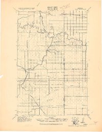 1920 Conrad1920 Print · USGSNorthern Montana plains at the height of the homesteading era are captured here during a period of rapid rail-led growth. Researchers can trace early postal locations like Omholt P. O. and the junction of the Great Northern R. R. in towns like Conrad and Brady.
 - 1954 Map of Shelby, 1967 Print
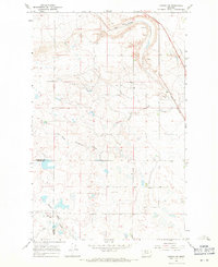
 1954 Shelby1967 Print · USGSNorthern Montana's Hi-Line is captured in the mid-fifties, showing a landscape shaped by the Great Northern rail and early oil development. Trace family roots in Shelby and Conrad, or locate rural landmarks like Goose Bill Butte and the Rocky Boys Indian Reservation.3 unique versions available
 - 1958 Map of Shelby
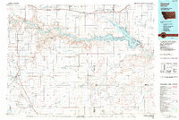
 1958 Shelby1958 Print · USGSNorthern Montana’s high plains and the Sweetgrass Hills come to life in the late fifties as the Tiber Dam begins to reshape the Marias River valley. Genealogists and historians can trace rail-town lineages along the Great Northern line and locate sites like the Hull Coal Mine or Sweet Grass.
 - 1967 Map of Conrad SW, 1971 Print
 1967 Conrad SW1971 Print · USGSThe Montana high plains in the late sixties reveal a landscape of seasonal drainages and essential rail links. You can trace the path of the Great Northern railroad and the winding South Pondera Coulee near the Eyraud Lakes.
 - 1984 Map of Conrad
 1984 Conrad1984 Print · USGSNorth-central Montana's high plains and river valleys come to life in this mid-eighties record of Pondera and Toole counties. Genealogists and historians can trace rail-stop towns along the Burlington Northern or locate rural landmarks like Favot and Alkali Springs.
 - 2011 Map of Conrad SW, 2011 Print
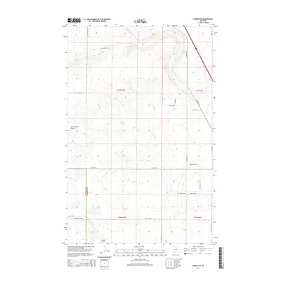
 2011 Conrad SW2011 Print · USGSCovers Midway Hutterite Colony, including Teton County, Pondera County, and other nearby areas
 - 2014 Map of Conrad SW, 2014 Print
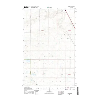
 2014 Conrad SW2014 Print · USGSCovers Midway Hutterite Colony, including Teton County, Pondera County, and other nearby areas
 - 2017 Map of Conrad SW, 2017 Print
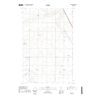
 2017 Conrad SW2017 Print · USGSCovers Midway Hutterite Colony, including Teton County, Pondera County, and other nearby areas
 - 2020 Map of Conrad SW, 2020 Print
 2020 Conrad SW2020 Print · USGSCovers Midway Hutterite Colony, including Teton County, Pondera County, and other nearby areas
 - 2024 Map of Conrad SW, 2024 Print
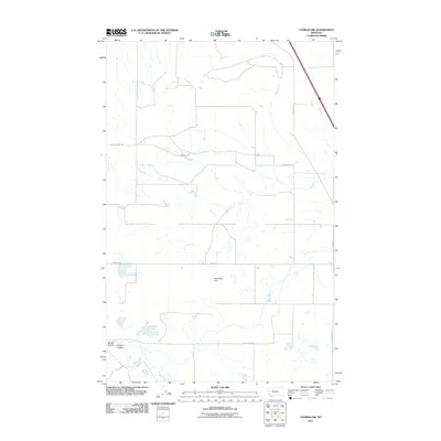
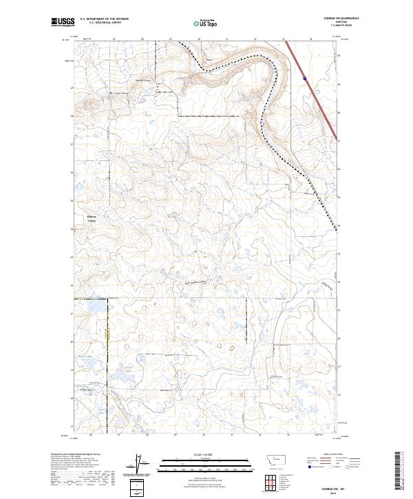 2024 Conrad SW2024 Print · USGSPondera County at the edge of the Teton County line is shown here in this recent topographic survey. Researchers can locate the Midway Colony and trace natural watercourses like Railroad Coulee and Eyraud Lakes.
End of results
Showing maps 1-10 of 10
Frequently asked questions
- What are the different types of historical maps available for Midway Hutterite Colony?
- What is the oldest map of Midway Hutterite Colony?
- Where can I purchase historical maps of Midway Hutterite Colony for my home or office?
- Where can I download high-res historical maps of Midway Hutterite Colony?
- Are there historical topographic maps available for Midway Hutterite Colony?
- Is there historical aerial imagery available for Midway Hutterite Colony?
- Where are historical maps of Midway Hutterite Colony sourced from?