Old Maps of Medicine Hot Springs, Montana for Hiking & Exploration
Hike through history with 9 historic maps of Medicine Hot Springs. Explore old trails, ghost towns, and forgotten backroads — perfect for outdoor adventurers and local explorers.
- Rediscover forgotten places: Map out old mining camps, roads, and footpaths that no longer exist on modern maps.
- Layer with modern tools: Combine with LiDAR or satellite views to plan hikes through historical terrain.
- Made for exploration: Popular among hikers, overlanders, and local history lovers.
Use these maps to find adventure and explore the hidden past of Medicine Hot Springs.
Medicine Hot Springs, MT maps
(9)- 1956 Map of Elk City, 1963 Print
 1956 Elk City1963 Print · USGSThe Idaho backcountry in the mid-fifties remains a landscape of isolated mining camps and remote forest outposts. Researchers can trace historical mining operations at Stibnite Mine and Blackbird Mine or locate riverside landmarks like Mackay Bar and Campbell's Ferry.3 unique versions available
 - 1960 Map of Elk City
 1960 Elk City1960 Print · USGSThe Central Idaho wilderness and Bitterroot Range are captured here during the peak of mid-century industrial mining. Researchers can trace remote backcountry settlements like Burgdorf and Warren, alongside major mineral sites including the Blackbird Mine and Ima Mine.2 unique versions available
 - 1965 Map of Medicine Hot Springs, 1968 Print
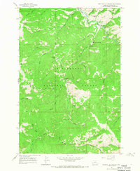 1965 Medicine Hot Springs1968 Print · USGSThe Bitterroot National Forest in the mid-1960s was a landscape of remote mountain camps and rugged river canyons. Trace the development of backcountry sites like Medicine Hot Springs, Spring Gulch Campground, and the high reaches of Medicine Point.3 unique versions available
 - 1998 Map of Medicine Hot Springs, 2002 Print
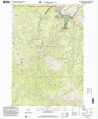 1998 Medicine Hot Springs2002 Print · USGSRavalli County in the late nineties is documented here, showing the forest and river systems east of Sula. Researchers can trace historic forest access points like the Medicine Point Lookout and the Warm Springs Trailhead.
 - 2011 Map of Medicine Hot Springs, 2011 Print
 2011 Medicine Hot Springs2011 Print · USGSCovers Medicine Hot Springs, including Ravalli County, United States, and other nearby areas
 - 2014 Map of Medicine Hot Springs, 2014 Print
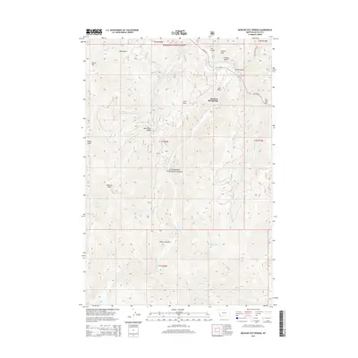 2014 Medicine Hot Springs2014 Print · USGSCovers Medicine Hot Springs, including Ravalli County, United States, and other nearby areas
 - 2017 Map of Medicine Hot Springs, 2017 Print
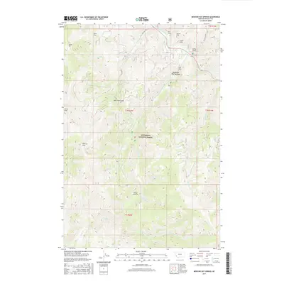 2017 Medicine Hot Springs2017 Print · USGSCovers Medicine Hot Springs, including Ravalli County, United States, and other nearby areas
 - 2020 Map of Medicine Hot Springs, 2020 Print
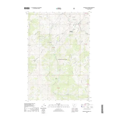 2020 Medicine Hot Springs2020 Print · USGSCovers Medicine Hot Springs, including Ravalli County, United States, and other nearby areas
 - 2024 Map of Medicine Hot Springs, 2024 Print
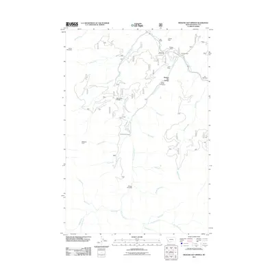
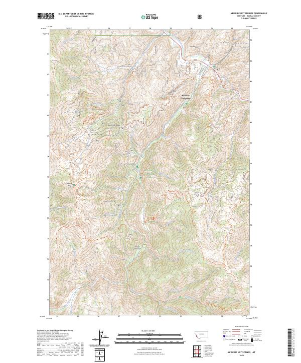 2024 Medicine Hot Springs2024 Print · USGSThe East Fork Bitterroot River valley in Ravalli County comes into focus in this contemporary survey of its mountain surroundings. Hikers and historians can trace the paths to Medicine Point or follow the water through Medicine Hot Springs and Sheeps Head Flat.
End of results
Showing maps 1-9 of 9
Top cities near Medicine Hot Springs
Frequently asked questions
- What are the different types of historical maps available for Medicine Hot Springs?
- What is the oldest map of Medicine Hot Springs?
- Where can I purchase historical maps of Medicine Hot Springs for my home or office?
- Where can I download high-res historical maps of Medicine Hot Springs?
- Are there historical topographic maps available for Medicine Hot Springs?
- Is there historical aerial imagery available for Medicine Hot Springs?
- Where are historical maps of Medicine Hot Springs sourced from?