Old Maps of Fischer Park, Sidney
Explore 11 old maps of Fischer Park, spanning from 1909 to today. These high-resolution historic maps reveal how streets, neighborhoods, landmarks, and natural features evolved over time — perfect for genealogy, metal detecting, research, and local history exploration.
What you can do with these maps:
- See how Fischer Park changed over time: Compare historical maps to modern-day views to trace roads, homesites, rail lines & more.
- View detailed metadata: Each map includes creators, publishers, year, scale, and archive source.
- Overlay maps with satellite & LiDAR: Visualize the past alongside modern tools to explore terrain & human change.
- Trusted historical sources: Maps sourced from the USGS, Library of Congress, and other archives.
- Access maps your way: View online, download high-res files, or order prints for personal or research use.
Start exploring old maps of Fischer Park to uncover forgotten places, hidden landmarks, and the deep history beneath your feet.
Fischer Park, Sidney maps
(11)- 1909 Map of Glendive
 1909 Glendive1909 Print · USGSThe confluence of the Missouri and Yellowstone rivers in the first decade of the twentieth century shows a region of scattered ranches and emerging river towns. Genealogists can trace family landmarks like Cavanaughs Ranch or Nortons Ranch and find early resource sites like the Coal Mine.
 - 1954 Map of Glendive, 1967 Print
 1954 Glendive1967 Print · USGSEastern Montana at mid-century shows a landscape of river-valley commerce and remote prairie ranching. Researchers can trace the legacy of rural education and transport through sites like Prairie Elk School, the Great Northern rail lines, and Circle.2 unique versions available
 - 1957 Map of Glendive
 1957 Glendive1957 Print · USGSEastern Montana in the mid-1950s is defined by its deep river valleys and a sprawling network of rural school districts. You can trace the path of the Great Northern railroad and locate vanished local landmarks like Breezy Flat School and Newton Junction.
 - 1958 Map of Glendive
 1958 Glendive1958 Print · USGSEastern Montana and the North Dakota borderlands come alive in the late fifties, showing the agricultural heart of the Yellowstone valley. Trace the legacy of rural education through Kimmel School and Ridgelawn School or locate rail hubs in Glendive and Sidney.
 - 1966 Map of Sidney, 1971 Print
 1966 Sidney1971 Print · USGSSidney and the surrounding Richland County plains are captured in the mid-1960s as a thriving rail and agricultural hub. Trace the development of local institutions from St Philomena Sch and the County Fairground to the Newlon Cem.2 unique versions available
 - 1981 Map of Sidney
 1981 Sidney1981 Print · USGSThe Montana-North Dakota borderlands appear in the early 1980s, centered on the river-fed agricultural hub of Sidney. Researchers can trace the Burlington Northern rail lines and the rural layouts of Fairview, Lambert, and Enid.
 - 2011 Map of Sidney, 2011 Print
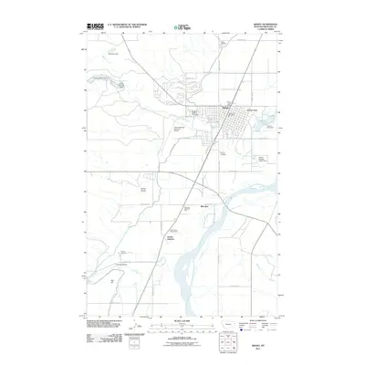 2011 Sidney2011 Print · USGSRichland County at the turn of the decade shows a landscape where the Yellowstone River meets a growing Sidney. Researchers can locate historic burial sites like Pioneer Cemetery, track the rail-centered Newlon Junction, and see the early development of Riverview.
 - 2014 Map of Sidney, 2014 Print
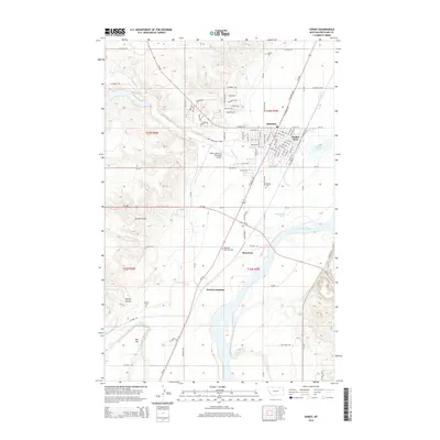 2014 Sidney2014 Print · USGSThe Yellowstone River valley comes into sharp focus during this period of growth in Eastern Montana. Researchers can trace family origins at Sidney Cem or Newlon Cem and explore the irrigation network of the Main Canal near Riverview.
 - 2017 Map of Sidney, 2017 Print
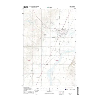 2017 Sidney2017 Print · USGSRichland County's agricultural heartland is centered around the Yellowstone River and the bustling city of Sidney in the late 2010s. Genealogists and historians can trace local family landmarks through Sidney Cem, Pioneer Cem, and the tracks at Newlon Junction.
 - 2020 Map of Sidney, 2020 Print
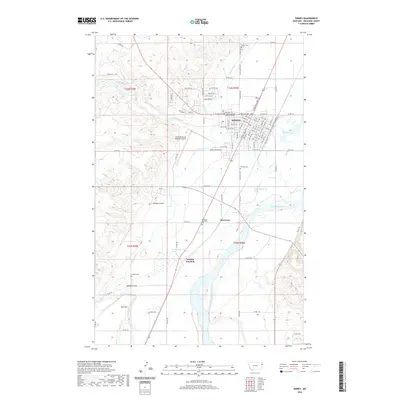 2020 Sidney2020 Print · USGSRichland County at the start of the 2020s shows a landscape shaped by the Yellowstone River and modern infrastructure. Genealogists and local historians can trace the development of Sidney or locate local burial grounds like Pioneer Cem and Newlon Cem.
 - 2024 Map of Sidney, 2024 Print
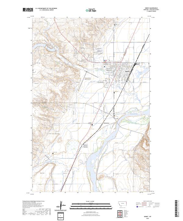 2024 Sidney2024 Print · USGSRichland County, Montana, is shown in modern detail where the Yellowstone River valley meets the irrigation-rich plains. Researchers can trace family history through local burial grounds like Pioneer Cem and Newlon Cem, or locate the crossroads at Newlon Junction.
End of results
Showing maps 1-11 of 11
Top cities near Fischer Park
Frequently asked questions
- What are the different types of historical maps available for Fischer Park?
- What is the oldest map of Fischer Park?
- Where can I purchase historical maps of Fischer Park for my home or office?
- Where can I download high-res historical maps of Fischer Park?
- Are there historical topographic maps available for Fischer Park?
- Is there historical aerial imagery available for Fischer Park?
- Where are historical maps of Fischer Park sourced from?