Old Maps of Sumatra, Montana
Explore 11 old maps of Sumatra, spanning from 1954 to today. These high-resolution historic maps reveal how streets, neighborhoods, landmarks, and natural features evolved over time — perfect for genealogy, metal detecting, research, and local history exploration.
What you can do with these maps:
- See how Sumatra changed over time: Compare historical maps to modern-day views to trace roads, homesites, rail lines & more.
- View detailed metadata: Each map includes creators, publishers, year, scale, and archive source.
- Overlay maps with satellite & LiDAR: Visualize the past alongside modern tools to explore terrain & human change.
- Trusted historical sources: Maps sourced from the USGS, Library of Congress, and other archives.
- Access maps your way: View online, download high-res files, or order prints for personal or research use.
Start exploring old maps of Sumatra to uncover forgotten places, hidden landmarks, and the deep history beneath your feet.
Sumatra, MT maps
(11)- 1954 Map of Forsyth, 1966 Print
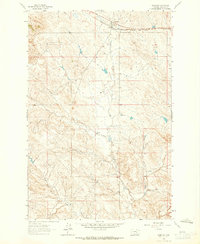
 1954 Forsyth1966 Print · USGSThe Yellowstone River valley and the northern high plains are captured here in the mid-1950s during a period of expanding energy and rail infrastructure. Genealogists and historians can trace rail sidings and cattle-country outposts like Ingomar, Vananda, and Angela.3 unique versions available
 - 1957 Map of Forsyth
 1957 Forsyth1957 Print · USGSSouth-central Montana in the late fifties is captured here through its dual-river geography and emergent energy economy. Researchers can trace the path of the Northern Pacific through Forsyth, locate the Ragged Point Oil Field, and find early sidings like Ahles Siding.
 - 1958 Map of Forsyth
 1958 Forsyth1958 Print · USGSMid-century Montana comes alive along the Yellowstone River and the competing transcontinental rail lines. Local historians can trace the legacy of the Northern Pacific through Forsyth or explore early oil developments at the Ragged Point Oil Field.
 - 1962 Map of Sumatra, 1965 Print
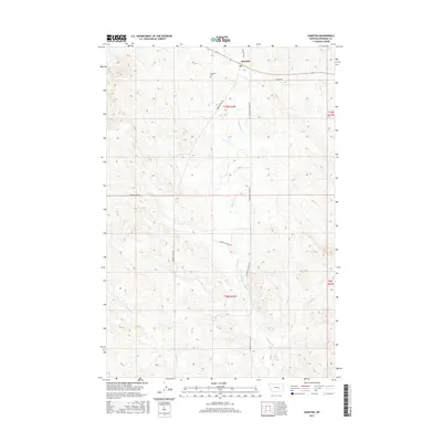
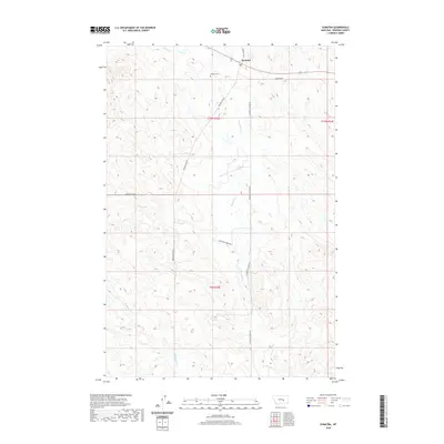
 1962 Sumatra1965 Print · USGSRosebud County ranching and rail life are centered on the community of Sumatra in the early sixties. Researchers can trace family ranching sites like Hecker Ranch and local infrastructure including the Sumatra Cem and the Milwaukee Road railroad.2 unique versions available
 - 1979 Map of Melstone
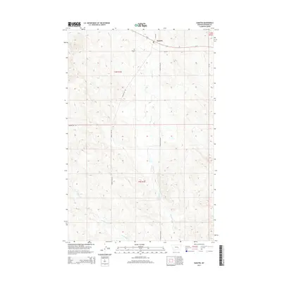
 1979 Melstone1979 Print · USGSThe ranching and rail corridors of central Montana are preserved in this late 1970s survey. Genealogists and historians can trace the Milwaukee Road through settlements like Melstone, Ingomar, and Sumatra along the Musselshell River.
 - 1983 Map of Forsyth
 1983 Forsyth1983 Print · USGSEastern Montana's high plains and river valleys come into focus in the early eighties as the rail-and-ranching economy centered on the Yellowstone River. Researchers can trace the development of small rail towns like Hysham, Angela, and Ingomar alongside the Burlington Northern line.
 - 2011 Map of Sumatra, 2011 Print
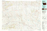
 2011 Sumatra2011 Print · USGSCovers Sumatra, including Rosebud County, United States, and other nearby areas
 - 2014 Map of Sumatra, 2014 Print
 2014 Sumatra2014 Print · USGSCovers Sumatra, including Rosebud County, United States, and other nearby areas
 - 2017 Map of Sumatra, 2017 Print
 2017 Sumatra2017 Print · USGSCovers Sumatra, including Rosebud County, United States, and other nearby areas
 - 2020 Map of Sumatra, 2020 Print
 2020 Sumatra2020 Print · USGSCovers Sumatra, including Rosebud County, United States, and other nearby areas
 - 2024 Map of Sumatra, 2024 Print
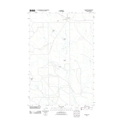
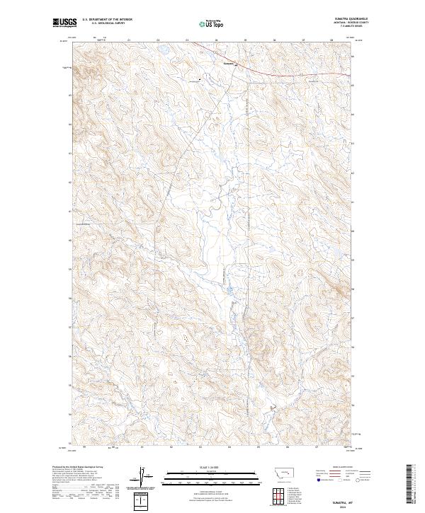 2024 Sumatra2024 Print · USGSThis part of Rosebud County during the current era reveals a sparse but enduring ranching landscape. Researchers can trace the layout of the Sumatra settlement, the local Sumatra Cem, and the winding paths of Muggins Creek and West Muggins Creek.
End of results
Showing maps 1-11 of 11
Frequently asked questions
- What are the different types of historical maps available for Sumatra?
- What is the oldest map of Sumatra?
- Where can I purchase historical maps of Sumatra for my home or office?
- Where can I download high-res historical maps of Sumatra?
- Are there historical topographic maps available for Sumatra?
- Is there historical aerial imagery available for Sumatra?
- Where are historical maps of Sumatra sourced from?