
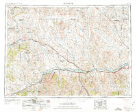
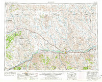
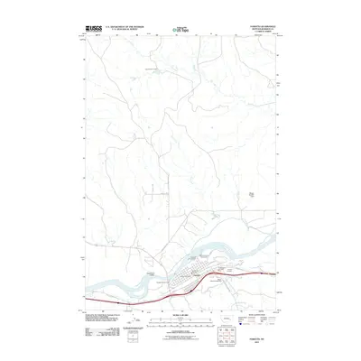
1954 Map of Forsyth
USGS Topo · Published 1966About this map
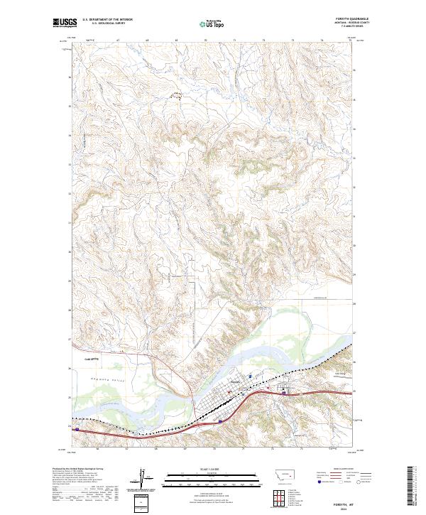
The Yellowstone River and its parallel rail lines dictate the settlement pattern of this mid-century Montana landscape. The Northern Pacific and the Chicago Milwaukee St Paul and Pacific railroads follow the river corridor, supporting towns like Forsyth and Hysham and smaller sidings such as Bascom Siding and Ahles Siding. To the north, the terrain transitions into the high plains where the economy shifts from river-valley agriculture to energy extraction, anchored by the North West Sumatra Oil Field and the Ragged Point Oil Field near Sumatra. The map also captures the confluence of the Bighorn River with the Yellowstone, a vital junction for regional travel. Distinctive local toponyms, including Starved to Death Creek and Froze to Death Creek, reflect the stark realities of the early frontier experience in this part of Rosebud and Treasure Counties.
Find a feature on this map
66 named features on this map. Tap any name to fly to it.
Don’t see what you’re looking for? This feature index may not catch every label — zoom into the map to look around manually.
Map Details
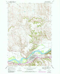
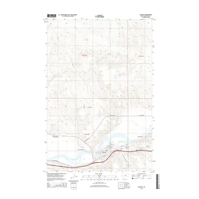
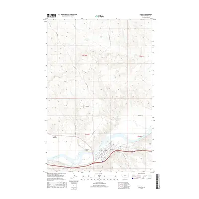
Editions of this 1954 Forsyth Map
3 editions found
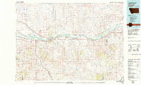
Historical Maps of Forsyth Through Time
11 maps found
1954 Forsyth
Rosebud County, MT

1957 Forsyth
Rosebud County, MT

1958 Forsyth
Rosebud County, MT
1968 Forsyth
Rosebud County, MT
1979 Forsyth
Rosebud County, MT

1983 Forsyth
Rosebud County, MT
2011 Forsyth
Rosebud County, MT
2014 Forsyth
Rosebud County, MT
2017 Forsyth
Rosebud County, MT
2020 Forsyth
Rosebud County, MT
2024 Forsyth
Rosebud County, MT