
1954 Map of Lewistown
USGS Topo · Published 1967About this map
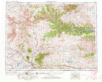
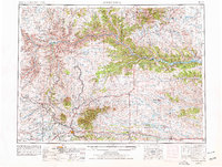
The Judith River and Missouri River converge in this central Montana landscape, where the grain-growing plains of the Judith Basin meet the timbered heights of the Snowy Mountains and the Little Rockies. As of the mid-1950s, Lewistown serves as the regional hub, its significance reflected in the convergence of the Great Northern and the Chicago Milwaukee St Paul and Pacific railroads. The map details a transition in the local economy, from the established agricultural settlements of Denton and Winifred to the rugged brakes of the Charles M Russell National Wildlife Range. Water management and conservation are central themes, evidenced by the Fort Peck Reservoir in the northeast and isolated wildlife units like War Horse N W R. Notable for genealogists are the smaller settlements like Giltedge and Landusky, which stand as relics of earlier mining and ranching eras.
Find a feature on this map
90 named features on this map. Tap any name to fly to it.
Don’t see what you’re looking for? This feature index may not catch every label — zoom into the map to look around manually.
Map Details
Editions of this 1954 Lewistown Map
3 editions found
Other maps of this area

1886 · Little Belt Mts.
USGS Topo · 1:250,000

1889 · Big Snowy Mountain
USGS Topo · 1:250,000

1890 · Fort Benton
USGS Topo · 1:250,000

1892 · Fort Benton
USGS Topo · 1:250,000

1893 · Big Snowy Mountain
USGS Topo · 1:250,000

1894 · Little Belt Mts.
USGS Topo · 1:250,000

1897 · Fort Benton
USGS Topo · 1:250,000

1897 · Little Belt Mts.
USGS Topo · 1:250,000

1898 · Little Belt Mts.
USGS Topo · 1:250,000

1902 · Little Belt Mts.
USGS Topo · 1:250,000