
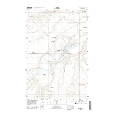
1890 Map of Fort Benton
USGS Topo · Published 1890About this map
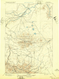
The Missouri River and Teton River converge just west of Fort Benton, a critical junction for late-nineteenth-century commerce and transportation. The St Paul Minneapolis and Manitoba Railroad follows the northern bank of the Missouri, providing a steel link through the northern plains. This landscape is defined by its dramatic relief, moving from the river basins up into the Highwood Mountains, anchored by Highwood Peak 7600 and Arrow Peak 7420. To the south, the Little Belt Mountains rise near the settlement of Clendenin. Early frontier communities and outposts like Stanford, Kibby, and Shepherd are connected by a burgeoning network of trails and roads that navigate the complex drainages of Belt Creek and Arrow Creek. The map documents a period where traditional river navigation was meeting the industrial expansion of the railroad.
Find a feature on this map
47 named features on this map. Tap any name to fly to it.
Don’t see what you’re looking for? This feature index may not catch every label — zoom into the map to look around manually.
Map Details
Editions of this 1890 Fort Benton Map
This is the sole edition of this map. No revisions or reprints were ever made.
Historical Maps of Fort Benton Through Time
10 maps found
1890 Fort Benton
Chouteau County, MT

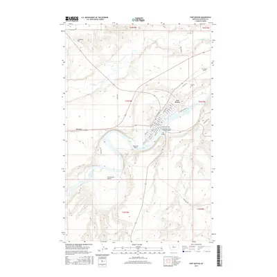
1892 Fort Benton
Chouteau County, MT
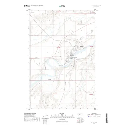
1897 Fort Benton
Chouteau County, MT
1954 Fort Benton
Chouteau County, MT
1984 Fort Benton
Chouteau County, MT
2011 Fort Benton
Chouteau County, MT
2014 Fort Benton
Chouteau County, MT
2017 Fort Benton
Chouteau County, MT
2020 Fort Benton
Chouteau County, MT
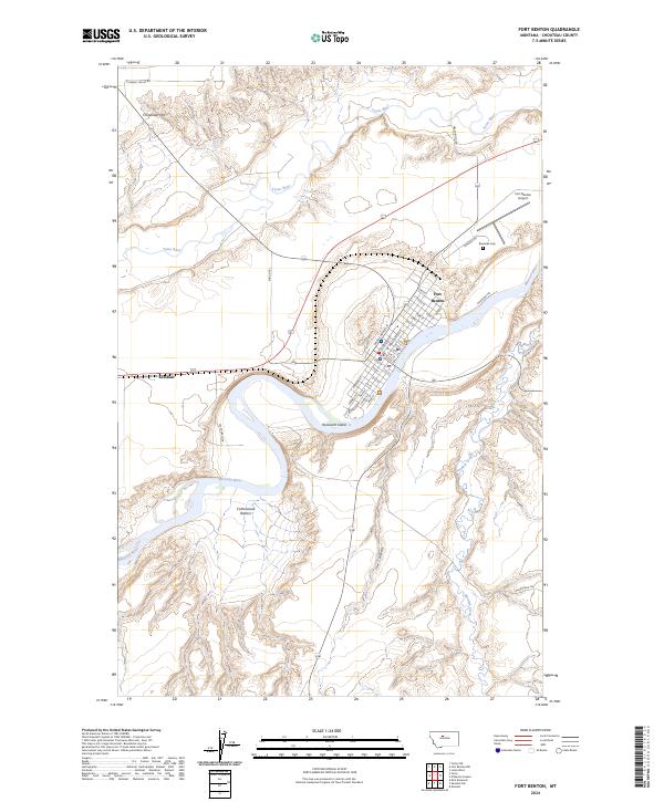
2024 Fort Benton
Chouteau County, MT