
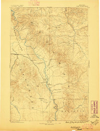
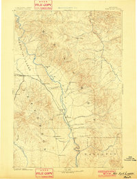
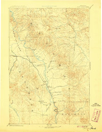
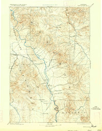
1886 Map of Fort Logan
USGS Topo · Published 1886About this map
The Smith River and Ft Logan anchor the eastern landscape of this frontier-era survey, which captures the burgeoning settlement patterns of central Montana during the 1880s. The map illustrates a region transitioning from isolated military outposts to established mining and agricultural communities. Notable early centers like Radersburg and the nearby Crow Creek City reflect the importance of the southern valleys, while the Missouri River corridor facilitates travel via landmarks like Cañon Ferry and Townsend.
Find a feature on this map
36 named features on this map. Tap any name to fly to it.
Don’t see what you’re looking for? This feature index may not catch every label — zoom into the map to look around manually.
Map Details
Editions of this 1886 Fort Logan Map
5 editions found
Other maps of this area

1886 · Great Falls
USGS Topo · 1:250,000

1886 · Little Belt Mts.
USGS Topo · 1:250,000

1888 · Three Forks
USGS Topo · 1:250,000

1889 · Helena
USGS Topo · 1:250,000

1890 · Fort Benton
USGS Topo · 1:250,000

1891 · Livingston
USGS Topo · 1:250,000

1892 · Fort Benton
USGS Topo · 1:250,000

1893 · Helena
USGS Topo · 1:250,000

1893 · Dillon
USGS Topo · 1:250,000

1893 · Livingston
USGS Topo · 1:250,000