
1893 Map of Livingston
USGS Topo · Published 1893About this map
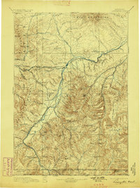
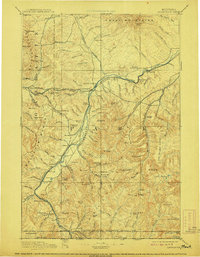
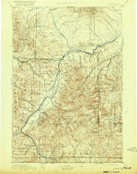
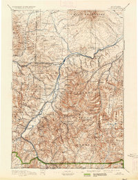
Livingston serves as the central hub of this 1890s survey, situated where the Northern Pacific Railroad meets the Yellowstone River. The landscape is dominated by the high peaks of the Crazy Mountains and the Gallatin Range, with the Yellowstone Park Branch line extending south toward the Northern Boundary of Yellowstone National Park. This era of the Montana frontier is marked by industry and transition, shown through the coal-mining activity at Chestnut and Coke, and the military history represented by the already Ft. Ellis (Abandoned) near the western edge.
Find a feature on this map
127 named features on this map. Tap any name to fly to it.
Don’t see what you’re looking for? This feature index may not catch every label — zoom into the map to look around manually.
Map Details
Editions of this 1893 Livingston Map
5 editions found
Other maps of this area

1885 · Gallatin
USGS Topo · 1:125,000

1885 · Gallatin
USGS Topo · 1:125,000

1886 · Fort Logan
USGS Topo · 1:250,000

1886 · Canyon
USGS Topo · 1:125,000

1886 · Little Belt Mts.
USGS Topo · 1:250,000

1888 · Three Forks
USGS Topo · 1:250,000

1889 · Big Snowy Mountain
USGS Topo · 1:250,000

1891 · Livingston
USGS Topo · 1:250,000

1891 · Big Timber
USGS Topo · 1:125,000

1893 · Big Snowy Mountain
USGS Topo · 1:250,000