
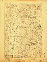
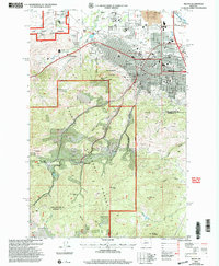
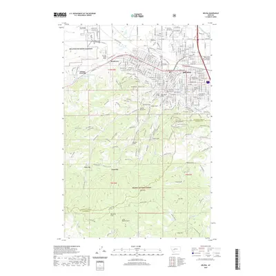
1893 Map of Helena
USGS Topo · Published 1893About this map
Helena stands as the primary hub in this late nineteenth-century landscape, positioned at the edge of the Continental Divide and surrounded by a dense network of mining camps and early rail lines. The topography reveals the intense industrial activity of the era, with the Helena and Red Mountain Railroad and the Northern Pacific Railroad snaking through steep mountain passes to reach concentrated resource centers like Wickes, Rimini, and Marysville.
Find a feature on this map
146 named features on this map. Tap any name to fly to it.
Don’t see what you’re looking for? This feature index may not catch every label — zoom into the map to look around manually.
Map Details
Editions of this 1893 Helena Map
2 editions found
Historical Maps of Butte Through Time
12 maps found

1889 Helena
Lewis and Clark County, MT
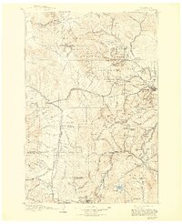
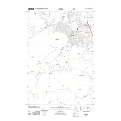
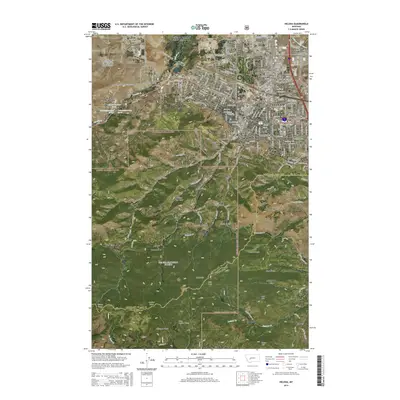
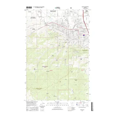
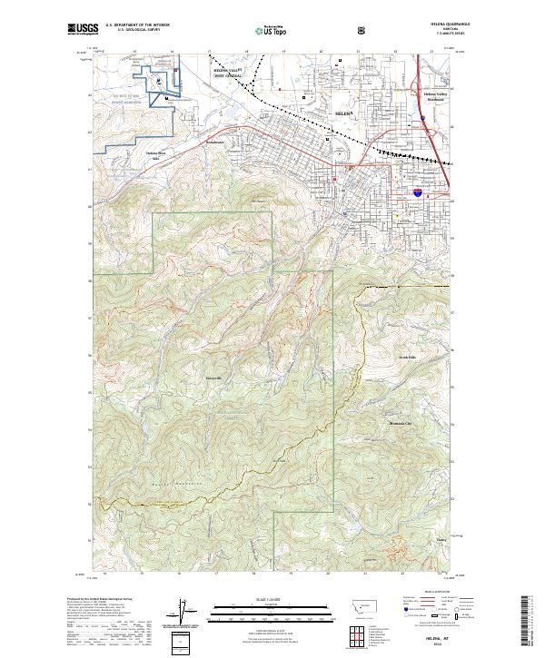
1893 Helena
Lewis and Clark County, MT

1899 Helena
Lewis and Clark County, MT
1903 Helena
Lewis and Clark County, MT
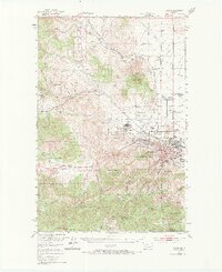
1950 Helena
Lewis and Clark County, MT
1985 Helena
Lewis and Clark County, MT
2001 Helena
Lewis and Clark County, MT
2011 Helena
Lewis and Clark County, MT
2014 Helena
Lewis and Clark County, MT
2017 Helena
Lewis and Clark County, MT
2020 Helena
Lewis and Clark County, MT
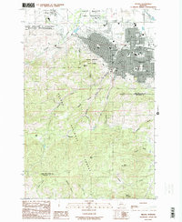
2024 Helena
Lewis and Clark County, MT