
1893 Map of Dillon
USGS Topo · Published 1893About this map
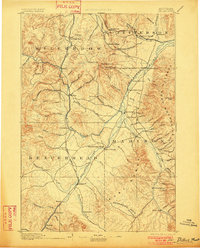
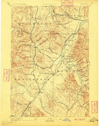
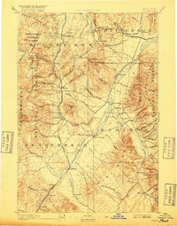
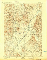
The Utah and Northern Railroad serves as the primary artery through this high-altitude landscape, connecting the regional hub of Dillon to the northern reaches of the Continental Divide. This 1880s survey depicts a critical moment in Montana's developmental history, where mining camps and ranching outposts such as Hecla, Argenta, and Glendale punctuate the foothills. The terrain is defined by the convergence of major mountain systems, including the Jefferson Range, Madison Range, and Ruby Range, which channel the waters of the Big Hole River and Jefferson River. Notable landmarks like Beaver Head Rock and Puller Springs indicate established waypoints for travelers and settlers in an era of rapid expansion across the Sweetwater Basin. The map captures the complex network of creeks and canyons, such as Hell Cañon, that dictated the placement of early settlements and rail spurs.
Find a feature on this map
99 named features on this map. Tap any name to fly to it.
Don’t see what you’re looking for? This feature index may not catch every label — zoom into the map to look around manually.
Map Details
Editions of this 1893 Dillon Map
5 editions found
Other maps of this area

1886 · Fort Logan
USGS Topo · 1:250,000

1888 · Three Forks
USGS Topo · 1:250,000

1889 · Helena
USGS Topo · 1:250,000

1893 · Helena
USGS Topo · 1:250,000

1894 · Three Forks
USGS Topo · 1:250,000

1895 · Three Forks
USGS Topo · 1:250,000

1899 · Boulder
USGS Topo · 1:125,000

1899 · Helena
USGS Topo · 1:250,000

1903 · Helena
USGS Topo · 1:250,000

1908 · Philipsburg
USGS Topo · 1:125,000