
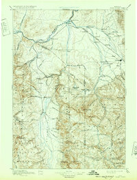
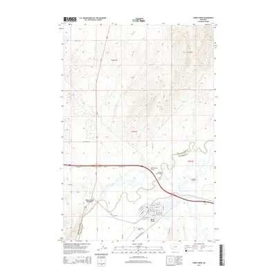
1894 Map of Three Forks
USGS Topo · Published 1894About this map
The confluence of the Jefferson River, Madison, and Gallatin rivers creates a complex network of waterways and early settlements in the 1880s. This survey, conducted under the direction of J. W. Powell, illustrates the vital transport corridor where the Northern Pacific Railroad follows the northern arc of the rivers through Logan and Manhattan. The landscape transitions from the agricultural Jefferson Valley to the dramatic peaks of the Gallatin and Madison ranges, including landmarks like Gallatin Peak and The Sphinx.
Find a feature on this map
105 named features on this map. Tap any name to fly to it.
Don’t see what you’re looking for? This feature index may not catch every label — zoom into the map to look around manually.
Map Details
Editions of this 1894 Three Forks Map
This is the sole edition of this map. No revisions or reprints were ever made.
Historical Maps of Bozeman Through Time
10 maps found

1888 Three Forks
Gallatin County, MT
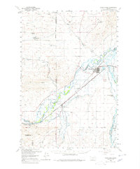
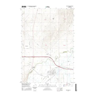
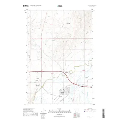
1894 Three Forks
Gallatin County, MT
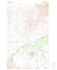
1895 Three Forks
Gallatin County, MT
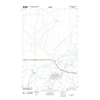
1950 Three Forks
Gallatin County, MT
1987 Three Forks
Gallatin County, MT
2011 Three Forks
Gallatin County, MT
2014 Three Forks
Gallatin County, MT
2017 Three Forks
Gallatin County, MT
2020 Three Forks
Gallatin County, MT
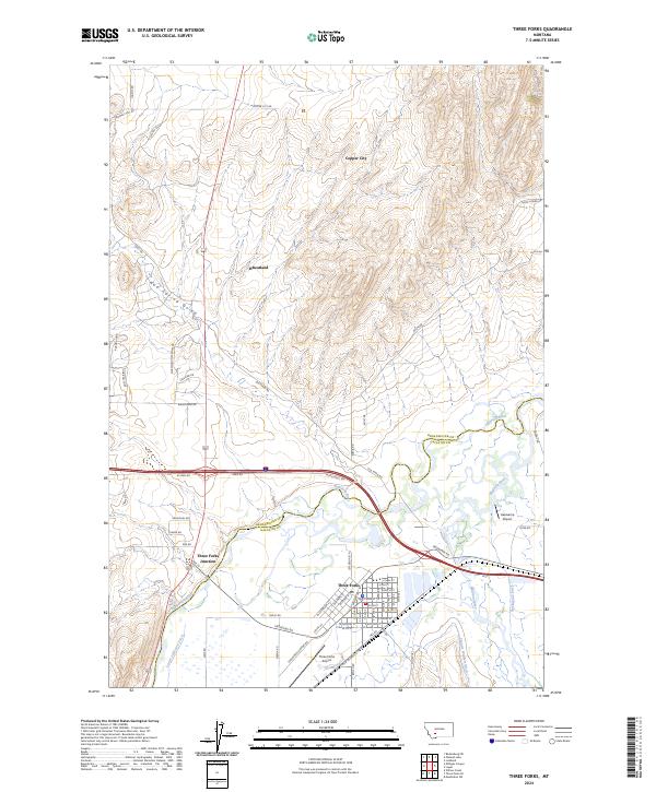
2024 Three Forks
Gallatin County, MT