
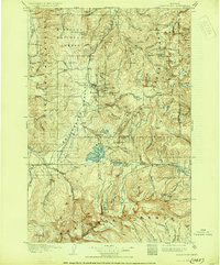
1908 Map of Philipsburg
USGS Topo · Published 1908About this map
The mining camps and mountain settlements of Granite County and Deer Lodge County define this 1908 topographical survey of the Philipsburg area. During this era of active mineral extraction, the landscape is dotted with operations like the Gold Reef Mine, Powell Mines, and the Stamp Mill near Combination. A complex network of industrial infrastructure is evident at the Bimetallic Power Plant on Echo Lake, illustrating the electrification of the silver and gold districts. To the south, the waters of Georgetown Lake and Silver Lake are surrounded by peaks of the Continental Divide, including Mt Haggin and Mt Evans. The map also records early ranching outposts such as Nelsons Ranch and Quinlans Ranch, alongside the remote mountain communities of Southern Cross and Princeton within the Hellgate National Forest.
Find a feature on this map
104 named features on this map. Tap any name to fly to it.
Don’t see what you’re looking for? This feature index may not catch every label — zoom into the map to look around manually.
Map Details
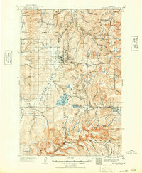
Editions of this 1908 Philipsburg Map
3 editions found
Other maps of this area

1889 · Helena
USGS Topo · 1:250,000

1893 · Helena
USGS Topo · 1:250,000

1893 · Dillon
USGS Topo · 1:250,000

1899 · Helena
USGS Topo · 1:250,000

1903 · Bonner
USGS Topo · 1:125,000

1903 · Helena
USGS Topo · 1:250,000

1909 · Sapphire
USGS Topo · 1:125,000

1919 · Drummond
USGS Topo · 1:125,000

1921 · Drummond
USGS Topo · 1:125,000

1947 · Butte
USGS Topo · 1:250,000