
1903 Map of Bonner
USGS Topo · Published 1903About this map
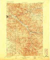
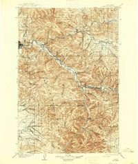
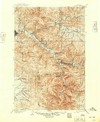
The junction of the Hellgate River and the Blackfoot River defines the landscape of this 1900 survey, anchoring the settlement of Bonner. At the turn of the century, Missoula appears as a growing hub at the western edge of the map, situated at the base of Jumbo Mt. and University Mtn.. The influence of the Northern Pacific railroad is evident as it follows the river canyons, connecting smaller stops like Turah, Clinton, and Bonita.
Find a feature on this map
56 named features on this map. Tap any name to fly to it.
Don’t see what you’re looking for? This feature index may not catch every label — zoom into the map to look around manually.
Map Details
Editions of this 1903 Bonner Map
4 editions found
Other maps of this area

1901 · Hamilton
USGS Topo · 1:125,000

1902 · Ovando
USGS Topo · 1:125,000

1905 · Ovando
USGS Topo · 1:125,000

1908 · Philipsburg
USGS Topo · 1:125,000

1909 · Sapphire
USGS Topo · 1:125,000

1912 · Missoula
USGS Topo · 1:125,000

1919 · Drummond
USGS Topo · 1:125,000

1921 · Drummond
USGS Topo · 1:125,000

1921 · Elbow Lake
USGS Topo · 1:125,000

1947 · Butte
USGS Topo · 1:250,000