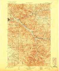
1903 Map of Bonner
USGS Topo · Published 1920About this map
Missoula and the surrounding wilderness are captured here during the first decades of the 20th century, a time when the Northern Pacific railroad dictated the pace of development along the Clark Fork and the Blackfoot River. The map documents a rugged landscape defined by the Garnet Range and the Sapphire Mountains, where the early campus of the University sits on the edge of the city. These valleys supported a network of small settlements and outposts, from the lumber-focused town of Bonner to remote locales like Quigley and Bonita.
Find a feature on this map
63 named features on this map. Tap any name to fly to it.
Don’t see what you’re looking for? This feature index may not catch every label — zoom into the map to look around manually.
Map Details
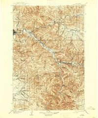
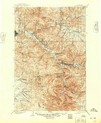
Editions of this 1903 Bonner Map
4 editions found
Other maps of this area

1901 · Hamilton
USGS Topo · 1:125,000

1902 · Ovando
USGS Topo · 1:125,000

1903 · Bonner
USGS Topo · 1:125,000

1905 · Ovando
USGS Topo · 1:125,000

1908 · Philipsburg
USGS Topo · 1:125,000

1909 · Sapphire
USGS Topo · 1:125,000

1912 · Missoula
USGS Topo · 1:125,000

1919 · Drummond
USGS Topo · 1:125,000

1921 · Drummond
USGS Topo · 1:125,000

1921 · Elbow Lake
USGS Topo · 1:125,000