
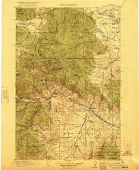
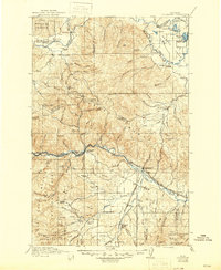
1921 Map of Drummond
USGS Topo · Published 1921About this map
The Garnet Range dominates this landscape, where early twentieth-century mining activity and ranching intersected along the high mountain corridors. High in the hills, the mining camps of Garnet and Coloma represent the era's mineral pursuits, while the surrounding valleys are marked by established homesteads like the Cottonwood Ranch, Griffith Ranch, and McCarthy Ranch. The transportation network is anchored by the Clark Fork and Blackfoot River, with the Northern Pacific and Chicago Milwaukee and St Paul railroads following the river grades through Drummond and Bearmouth. This survey preserves a dense record of rural social infrastructure, noting numerous educational landmarks such as the Ninemile Prairie School, Wales School, and Blackfoot Bridge School that served these isolated mountain and valley communities.
Find a feature on this map
82 named features on this map. Tap any name to fly to it.
Don’t see what you’re looking for? This feature index may not catch every label — zoom into the map to look around manually.
Map Details
Editions of this 1921 Drummond Map
3 editions found
Other maps of this area

1889 · Helena
USGS Topo · 1:250,000

1893 · Helena
USGS Topo · 1:250,000

1899 · Helena
USGS Topo · 1:250,000

1902 · Ovando
USGS Topo · 1:125,000

1903 · Coopers Lake
USGS Topo · 1:125,000

1903 · Bonner
USGS Topo · 1:125,000

1903 · Helena
USGS Topo · 1:250,000

1905 · Ovando
USGS Topo · 1:125,000

1908 · Philipsburg
USGS Topo · 1:125,000

1909 · Sapphire
USGS Topo · 1:125,000