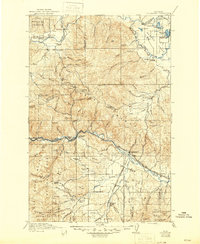
1921 Map of Drummond
USGS Topo · Published 1946About this map
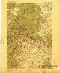
The Garnet Range dominates this West-Central Montana landscape, a region defined by early 20th-century mining camps and narrow mountain valleys. Following surveys in 1915 and 1919, the map reveals a corridor of activity along the Clark Fork river, where the Northern Pacific and Chicago Milwaukee and St Paul railroads run parallel through the canyon. High in the mountains, mining outposts like Garnet and Coloma are shown alongside the distinctive Copper Cliff.
Find a feature on this map
104 named features on this map. Tap any name to fly to it.
Don’t see what you’re looking for? This feature index may not catch every label — zoom into the map to look around manually.
Map Details
Editions of this 1921 Drummond Map
3 editions found

Other maps of this area

1889 · Helena
USGS Topo · 1:250,000

1893 · Helena
USGS Topo · 1:250,000

1899 · Helena
USGS Topo · 1:250,000

1902 · Ovando
USGS Topo · 1:125,000

1903 · Coopers Lake
USGS Topo · 1:125,000

1903 · Bonner
USGS Topo · 1:125,000

1903 · Helena
USGS Topo · 1:250,000

1905 · Ovando
USGS Topo · 1:125,000

1908 · Philipsburg
USGS Topo · 1:125,000

1909 · Sapphire
USGS Topo · 1:125,000