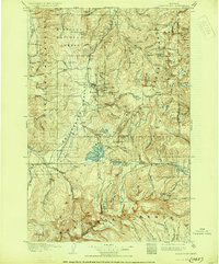
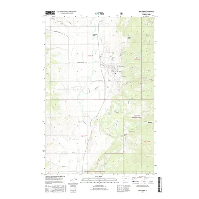
1908 Map of Philipsburg
USGS Topo · Published 1930About this map
Philipsburg sits at the heart of a high-altitude industrial landscape, where the Philipsburg Valley meets the mineral-rich slopes of the Flint Creek Range. This 1905 survey reveals an era of intense resource extraction, evidenced by the concentration of silver and gold works like the Powell Mines and Gold Coin Mine. The regional infrastructure supports this activity through specialized landmarks like the Bimetallic Power Plant and an extensive flume system. Higher in the mountains, small mining settlements such as Southern Cross, Hasmark, and Granite are connected by rugged trails to the Northern Pacific R R terminus. The map also delineates the Continental Divide and the Anaconda Range, showing the early 20th-century configuration of the Missoula National Forest and numerous family holdings including McFarland Place and Nelsons Ranch.
Find a feature on this map
113 named features on this map. Tap any name to fly to it.
Don’t see what you’re looking for? This feature index may not catch every label — zoom into the map to look around manually.
Map Details
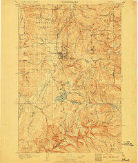
Editions of this 1908 Philipsburg Map
3 editions found
Historical Maps of Philipsburg Through Time
9 maps found
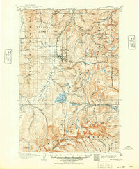
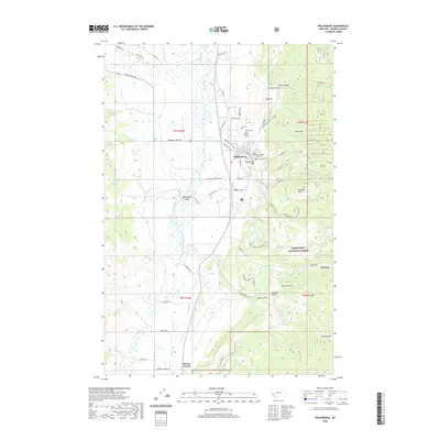
1908 Philipsburg
Granite County, MT
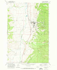
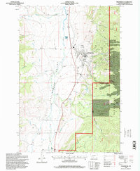
1971 Philipsburg
Granite County, MT
1993 Philipsburg
Granite County, MT
1996 Philipsburg
Granite County, MT
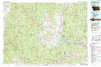
2011 Philipsburg
Granite County, MT
2014 Philipsburg
Granite County, MT
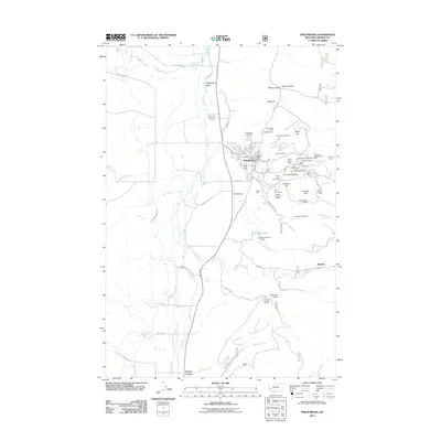
2017 Philipsburg
Granite County, MT
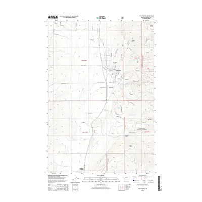
2020 Philipsburg
Granite County, MT
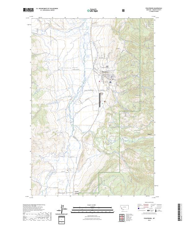
2024 Philipsburg
Granite County, MT