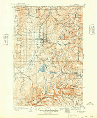
1908 Map of Philipsburg
USGS Topo · Published 1949About this map
Philipsburg sits at the heart of this 1905 survey, serving as a hub for the intense mineral extraction that shaped the Flint Creek Range and John Long Mountains. The landscape is etched with the industry of the era, from the heavy machinery of the Stamp Mill and Bimetallic Power Plant to a network of high-elevation silver and gold operations like the Red Lion Mine and Powell Mines. In the south, the B A and P RR skirts the edge of the Anaconda Range, while the Northern Pacific RR provides a critical link to the town. This map documents a period of transition where remote mountain camps like Granite and Georgetown thrived alongside established family holdings, including Johnsons Ranch and Quinlans Ranch, during the height of Montana's early mining boom.
Find a feature on this map
88 named features on this map. Tap any name to fly to it.
Don’t see what you’re looking for? This feature index may not catch every label — zoom into the map to look around manually.
Map Details
Editions of this 1908 Philipsburg Map
3 editions found
Other maps of this area

1889 · Helena
USGS Topo · 1:250,000

1893 · Helena
USGS Topo · 1:250,000

1893 · Dillon
USGS Topo · 1:250,000

1899 · Helena
USGS Topo · 1:250,000

1903 · Bonner
USGS Topo · 1:125,000

1903 · Helena
USGS Topo · 1:250,000

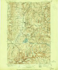
1908 · Philipsburg
USGS Topo · 1:125,000

1909 · Sapphire
USGS Topo · 1:125,000

1919 · Drummond
USGS Topo · 1:125,000

1921 · Drummond
USGS Topo · 1:125,000