
1893 Map of Big Snowy Mountain
USGS Topo · Published 1893About this map
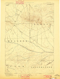
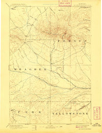
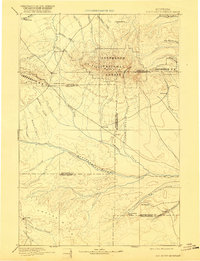
Big Snowy Mountain dominates this late-nineteenth-century landscape, serving as a massive topographical anchor at the intersection of Fergus and Meagher counties. This survey, conducted by the Northern Transcontinental Survey between 1882 and 1887, reveals a sparsely settled territory where water sources and mountain passes dictated the early human footprint. Significant landmarks like Half Moon Pass and Judith Gap appear as critical transit points through the high terrain, while small outposts like Ubet, Filbrook, and Oka mark the early ranching and trading hubs of the region.
Find a feature on this map
46 named features on this map. Tap any name to fly to it.
Don’t see what you’re looking for? This feature index may not catch every label — zoom into the map to look around manually.
Map Details
Editions of this 1893 Big Snowy Mountain Map
4 editions found
Other maps of this area

1886 · Little Belt Mts.
USGS Topo · 1:250,000

1889 · Big Snowy Mountain
USGS Topo · 1:250,000

1890 · Fort Benton
USGS Topo · 1:250,000

1891 · Livingston
USGS Topo · 1:250,000

1891 · Big Timber
USGS Topo · 1:125,000

1892 · Fort Benton
USGS Topo · 1:250,000

1892 · Stillwater
USGS Topo · 1:125,000

1893 · Livingston
USGS Topo · 1:250,000

1893 · Big Timber
USGS Topo · 1:125,000

1894 · Little Belt Mts.
USGS Topo · 1:250,000