
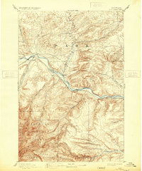
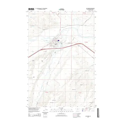
1891 Map of Big Timber
USGS Topo · Published 1891About this map
Big Timber sits at the confluence of the Boulder River and the Yellowstone River, serving as a central hub for ranching and transport in late nineteenth-century Montana. The Northern Pacific Railroad tracks parallel the Yellowstone River, connecting the riverside settlements of Greycliff and Reed Point. This alignment highlights the era's reliance on river valleys for feasible rail corridors through the undulating terrain. A significant portion of the southern landscape is occupied by the Crow Indian Reservation, which is bordered by the Stillwater River and fed by numerous tributaries including Countryman Creek and Jackstone Creek. The presence of the Harrison Ferry on the Yellowstone underscores the critical river crossings required before the widespread construction of highway bridges. The map preserves a network of family-named watercourses like Work Creek and Bridger Creek, which defined the early boundaries of land claims in the region.
Find a feature on this map
21 named features on this map. Tap any name to fly to it.
Don’t see what you’re looking for? This feature index may not catch every label — zoom into the map to look around manually.
Map Details
Editions of this 1891 Big Timber Map
This is the sole edition of this map. No revisions or reprints were ever made.
Historical Maps of Big Timber Through Time
9 maps found
1891 Big Timber
Sweet Grass County, MT
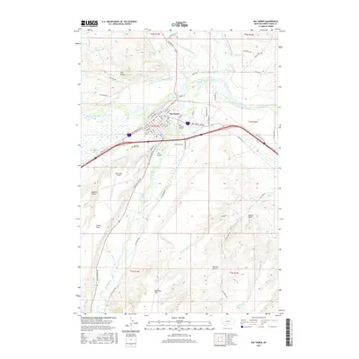
1893 Big Timber
Sweet Grass County, MT
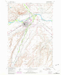
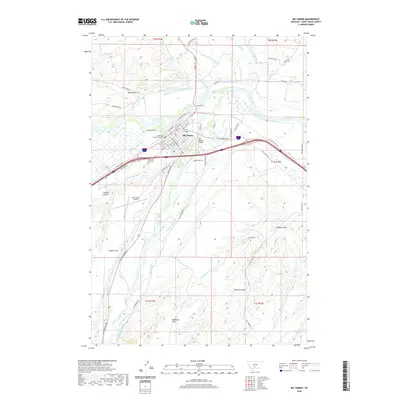
1954 Big Timber
Sweet Grass County, MT
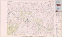
1979 Big Timber
Sweet Grass County, MT
2011 Big Timber
Sweet Grass County, MT
2014 Big Timber
Sweet Grass County, MT
2017 Big Timber
Sweet Grass County, MT
2020 Big Timber
Sweet Grass County, MT
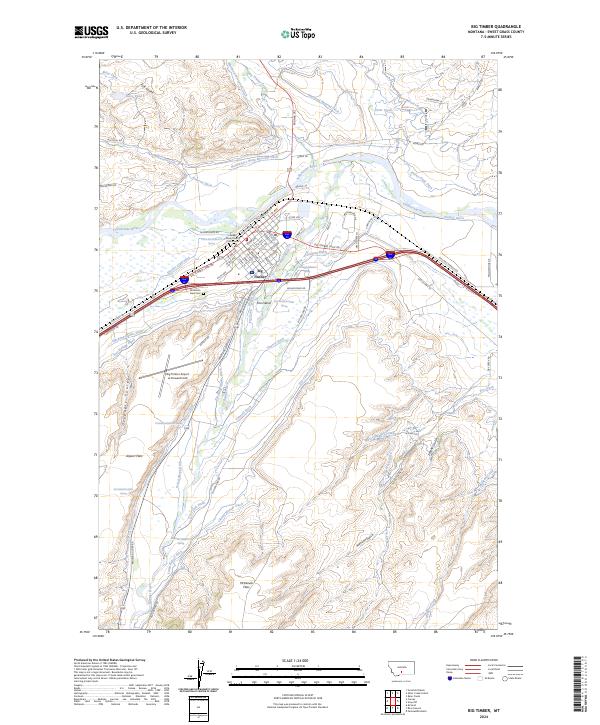
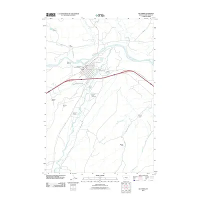
2024 Big Timber
Sweet Grass County, MT