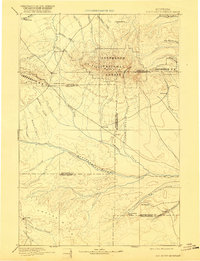
1893 Map of Big Snowy Mountain
USGS Topo · Published 1920About this map
Big Snowy Mountains dominate the central landscape of this late 19th-century reconnaissance, rising as a prominent island range between the Judith and Musselshell drainages. The topography captures a transitional moment when the central Montana territory was organized into early counties like Meagher, Fergus, and Sweet Grass, long before modern boundaries were finalized. Small frontier outposts and early stage or freighting stops such as Ubet, Melville, and Filbrook are scattered across the plains and foothills, serving as vital nodes in a sparse settlement network. The Musselshell River carves a winding path across the southern half of the sheet, fed by numerous drainages like Careless Creek and Swimming Woman's Creek. Higher elevations are protected within the early boundaries of the Jefferson National Forest, where steep terrain is navigated only by significant features like Half Moon Pass.
Find a feature on this map
49 named features on this map. Tap any name to fly to it.
Don’t see what you’re looking for? This feature index may not catch every label — zoom into the map to look around manually.
Map Details
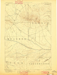
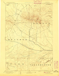
Editions of this 1893 Big Snowy Mountain Map
4 editions found
Other maps of this area

1886 · Little Belt Mts.
USGS Topo · 1:250,000

1889 · Big Snowy Mountain
USGS Topo · 1:250,000

1890 · Fort Benton
USGS Topo · 1:250,000

1891 · Livingston
USGS Topo · 1:250,000

1891 · Big Timber
USGS Topo · 1:125,000

1892 · Fort Benton
USGS Topo · 1:250,000

1892 · Stillwater
USGS Topo · 1:125,000

1893 · Livingston
USGS Topo · 1:250,000

1893 · Big Snowy Mountain
USGS Topo · 1:250,000

1893 · Big Timber
USGS Topo · 1:125,000