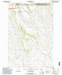
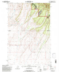
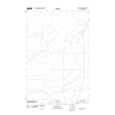
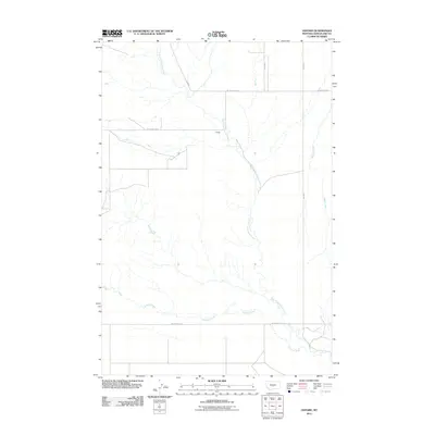
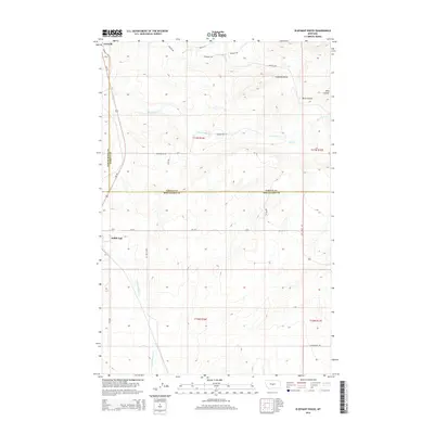
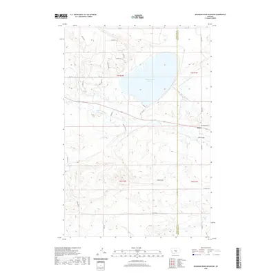
1893 Map of Big Snowy Mountain
USGS Topo · Published 1901About this map
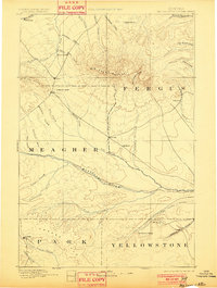
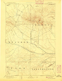
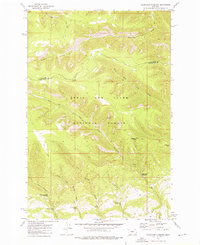
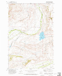
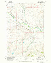
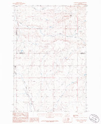
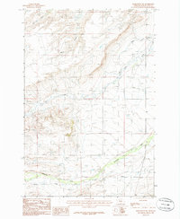
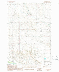
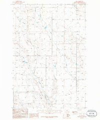
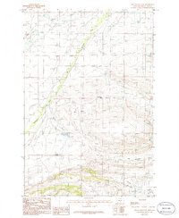
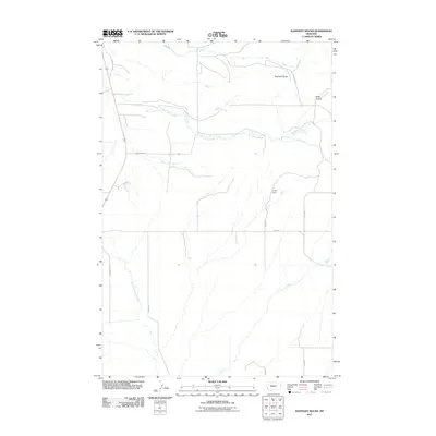
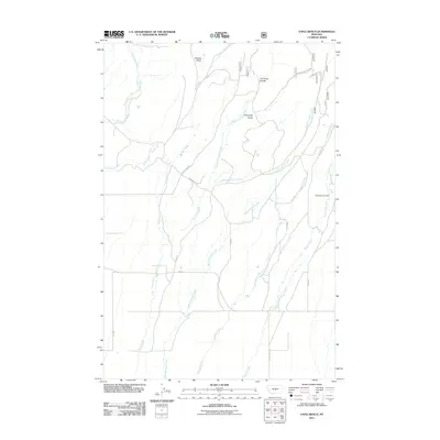
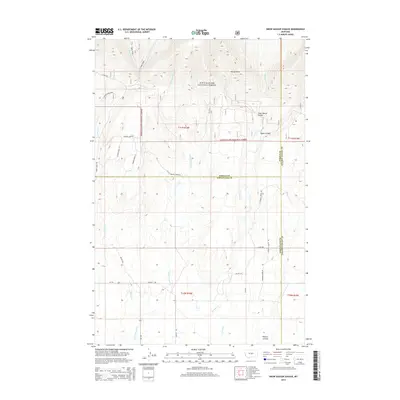
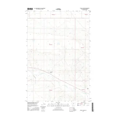
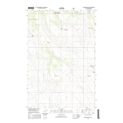
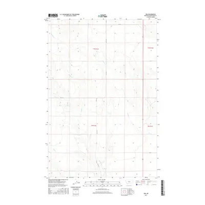
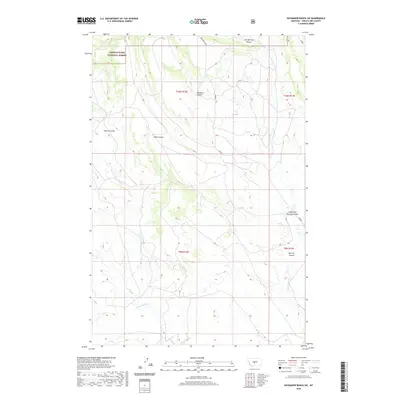
Big Snowy Mountain dominates this central Montana landscape, acting as a dramatic topographical hub from which dozens of creeks radiate toward the Judith River and Musselshell River systems. Surveyed between 1882 and 1887, the map captures a network of small, widely spaced settlements such as Ubet, Filbrook, and Melville that served as early ranching and stage stops before the arrival of major rail lines. The terrain is marked by significant natural corridors like Judith Gap, a critical pass between the mountains that historically funneled travel and weather through the region. In the southeast, landmarks such as Locomotive Butte and Mt. Sinai rise from the plains, while the northern slopes are defined by deep drainage cuts like Cottonwood Creek and Beaver Creek. This reconnaissance work by E.M. Douglas provides a clear view of the frontier era, where early post offices and isolated outposts like Bercail and Halbert anchored the burgeoning livestock economy across the sprawling borders of Fergus and Meagher counties.
Find a feature on this map
47 named features on this map. Tap any name to fly to it.
Don’t see what you’re looking for? This feature index may not catch every label — zoom into the map to look around manually.
Map Details
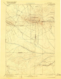
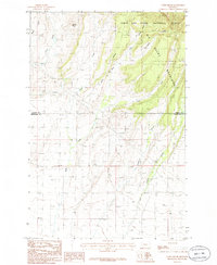
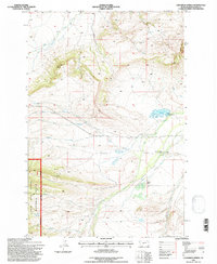
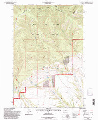
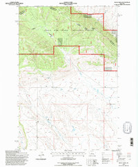
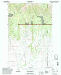
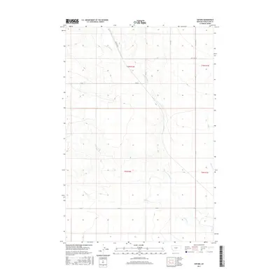
Editions of this 1893 Big Snowy Mountain Map
4 editions found

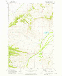
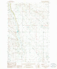
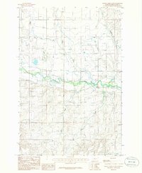
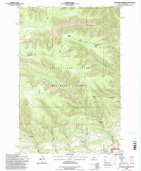
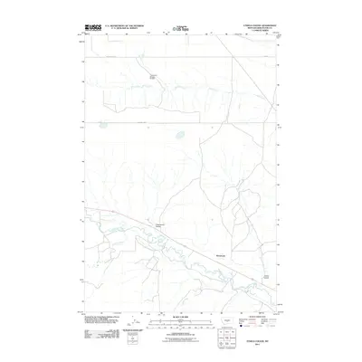
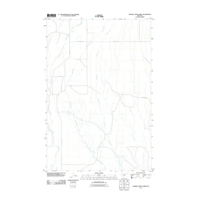
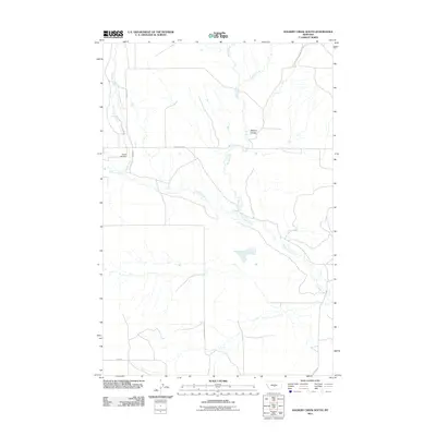
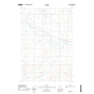
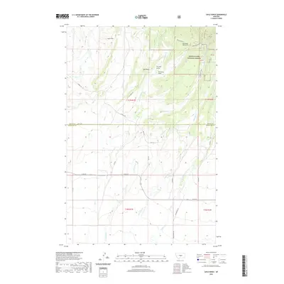
Historical Maps of Harlowton Through Time
153 maps found

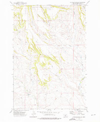
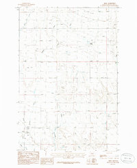
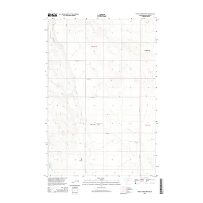
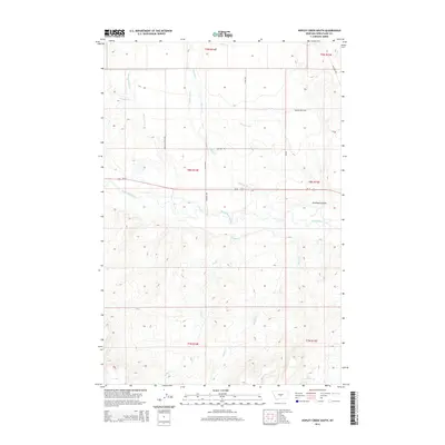
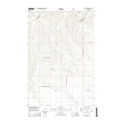
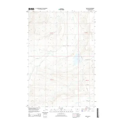
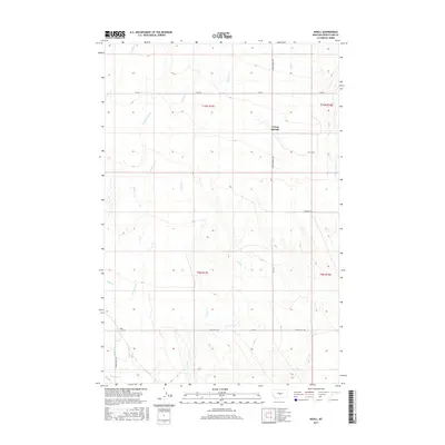
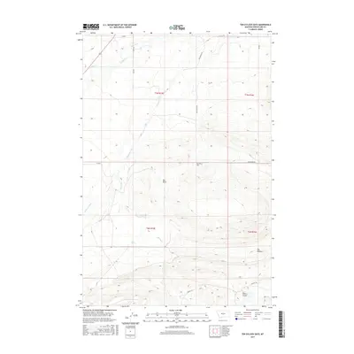
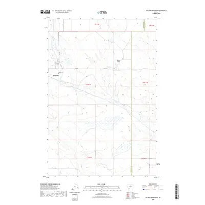
1889 Big Snowy Mountain
Wheatland County, MT
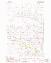
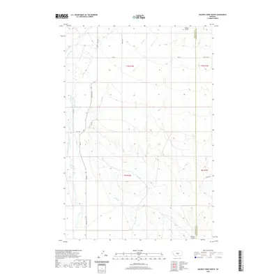
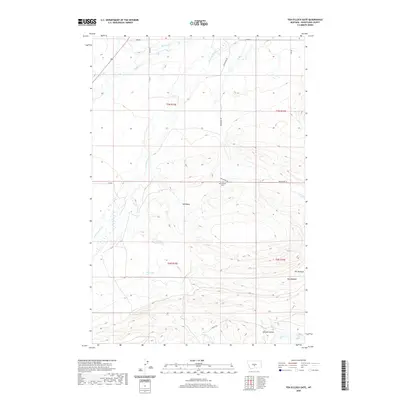
1893 Big Snowy Mountain
Wheatland County, MT
1972 Cinnamon Spring
Wheatland County, MT
1972 Haymaker Narrows
Wheatland County, MT
1972 Haymaker Ranch SW
Wheatland County, MT
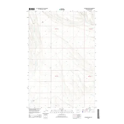
1972 Haymaker Ranch
Wheatland County, MT
1972 Jellison Place
Wheatland County, MT
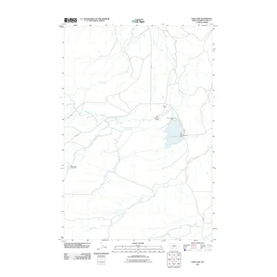
1972 Lebo Lake
Wheatland County, MT
1972 Twodot NW
Wheatland County, MT
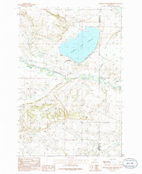
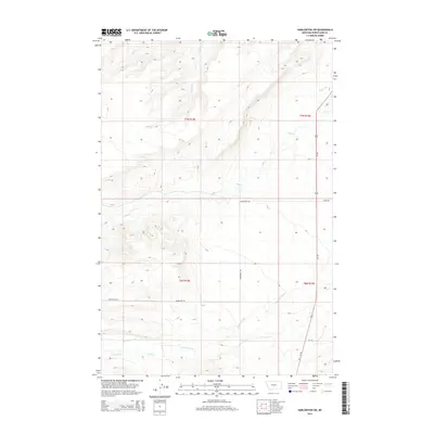
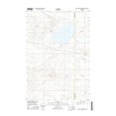
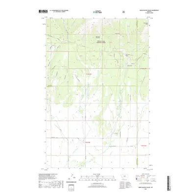
1986 Deadmans Basin Reservoir
Wheatland County, MT
1986 Devils Pocket
Wheatland County, MT
1986 Elephant Rocks
Wheatland County, MT
1986 Ethels Coulee
Wheatland County, MT
1986 Halbert Creek North
Wheatland County, MT
1986 Halbert Creek South
Wheatland County, MT
1986 Harlowton SW
Wheatland County, MT
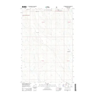
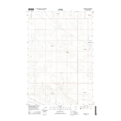
1986 Hedgesville
Wheatland County, MT
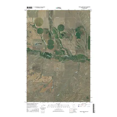
1986 Hopley Creek North
Wheatland County, MT
1986 Hopley Creek South
Wheatland County, MT

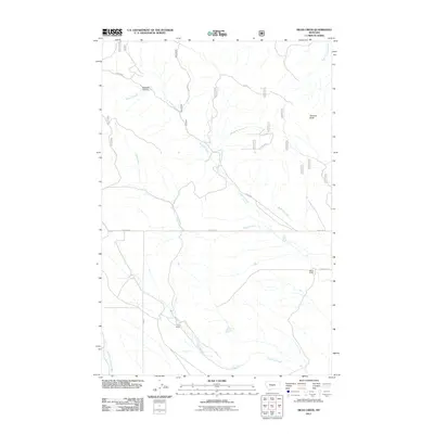
1986 Mead Creek
Wheatland County, MT
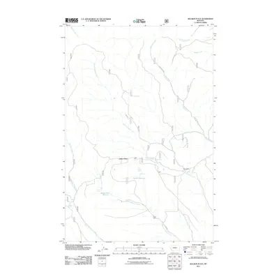
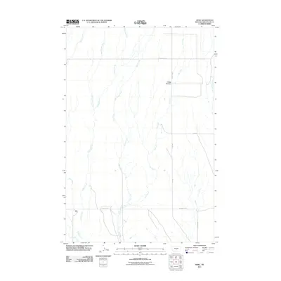
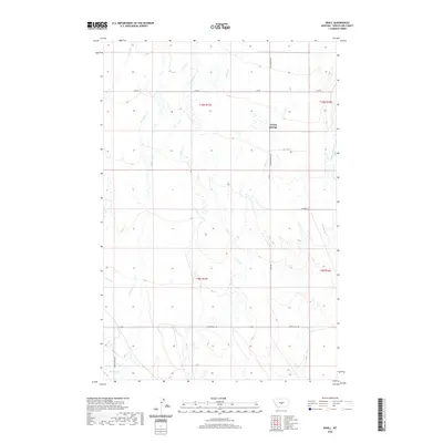
1986 Nihill
Wheatland County, MT
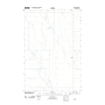
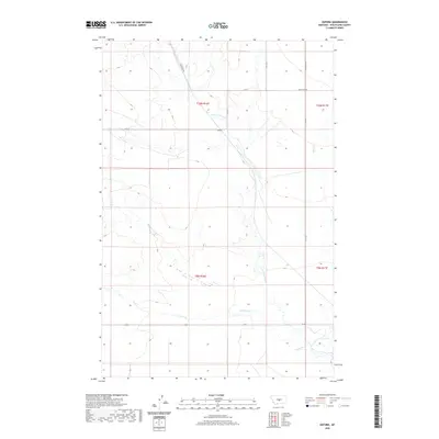
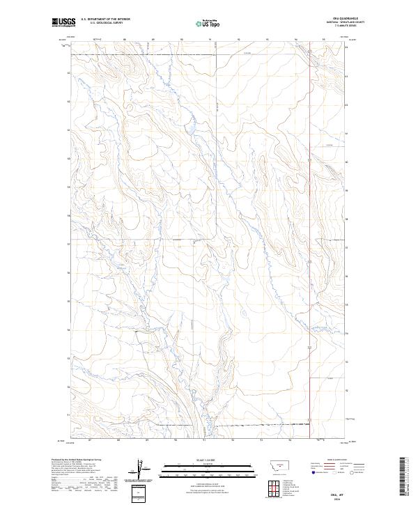
1986 Oka
Wheatland County, MT
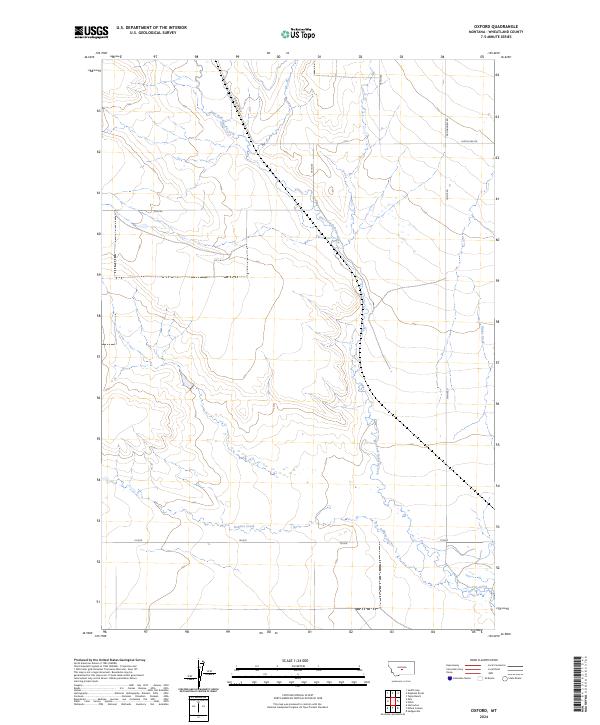
1986 Oxford
Wheatland County, MT
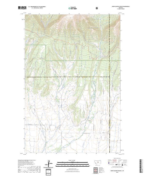
1986 Snow Saucer Coulee
Wheatland County, MT
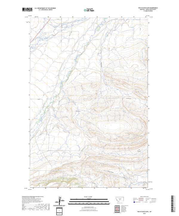
1986 Ten O'Clock Gate
Wheatland County, MT
1986 Yaple Bench
Wheatland County, MT
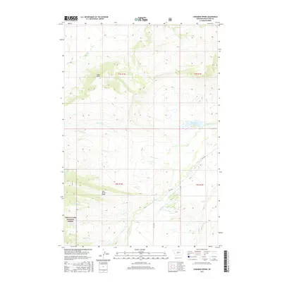
1995 Cinnamon Spring
Wheatland County, MT
1995 Haymaker Narrows
Wheatland County, MT
1995 Haymaker Ranch SW
Wheatland County, MT
1995 Jellison Place
Wheatland County, MT
1995 Mead Creek
Wheatland County, MT
1995 Snow Saucer Coulee
Wheatland County, MT
1995 Yaple Bench
Wheatland County, MT
2011 Cinnamon Spring
Wheatland County, MT
2011 Deadmans Basin Reservoir
Wheatland County, MT
2011 Devils Pocket
Wheatland County, MT
2011 Elephant Rocks
Wheatland County, MT
2011 Ethels Coulee
Wheatland County, MT
2011 Halbert Creek North
Wheatland County, MT
2011 Halbert Creek South
Wheatland County, MT
2011 Harlowton SW
Wheatland County, MT
2011 Haymaker Narrows
Wheatland County, MT
2011 Haymaker Ranch SW
Wheatland County, MT
2011 Haymaker Ranch
Wheatland County, MT
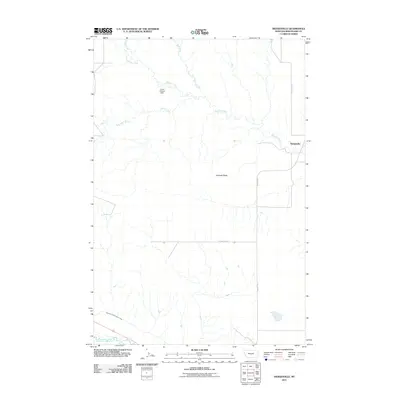
2011 Hedgesville
Wheatland County, MT
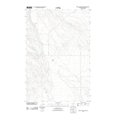
2011 Hopley Creek North
Wheatland County, MT
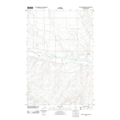
2011 Hopley Creek South
Wheatland County, MT
2011 Jellison Place
Wheatland County, MT
2011 Lebo Lake
Wheatland County, MT
2011 Mead Creek
Wheatland County, MT
2011 Nihill
Wheatland County, MT
2011 Oka
Wheatland County, MT
2011 Oxford
Wheatland County, MT
2011 Snow Saucer Coulee
Wheatland County, MT
2011 Ten O'Clock Gate
Wheatland County, MT
2011 Twodot NW
Wheatland County, MT
2011 Yaple Bench
Wheatland County, MT
2014 Cinnamon Spring
Wheatland County, MT
2014 Deadmans Basin Reservoir
Wheatland County, MT
2014 Devils Pocket
Wheatland County, MT
2014 Elephant Rocks
Wheatland County, MT
2014 Ethels Coulee
Wheatland County, MT
2014 Halbert Creek North
Wheatland County, MT
2014 Halbert Creek South
Wheatland County, MT
2014 Harlowton SW
Wheatland County, MT

2014 Haymaker Narrows
Wheatland County, MT
2014 Haymaker Ranch SW
Wheatland County, MT
2014 Haymaker Ranch
Wheatland County, MT
2014 Hedgesville
Wheatland County, MT
2014 Hopley Creek North
Wheatland County, MT
2014 Hopley Creek South
Wheatland County, MT
2014 Jellison Place
Wheatland County, MT
2014 Lebo Lake
Wheatland County, MT
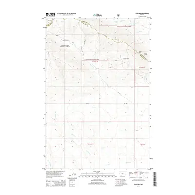
2014 Mead Creek
Wheatland County, MT
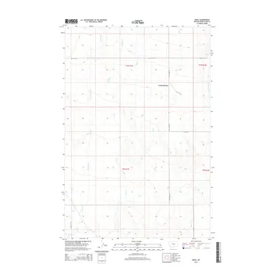
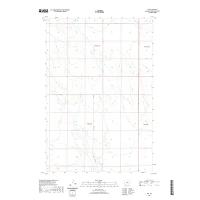
2014 Nihill
Wheatland County, MT
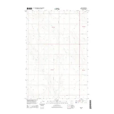
2014 Oka
Wheatland County, MT
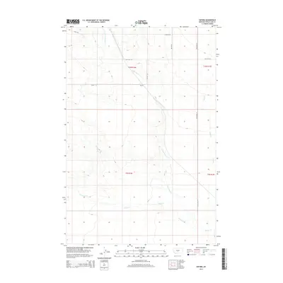
2014 Oxford
Wheatland County, MT
2014 Snow Saucer Coulee
Wheatland County, MT
2014 Ten O'Clock Gate
Wheatland County, MT
2014 Twodot NW
Wheatland County, MT
2014 Yaple Bench
Wheatland County, MT
2017 Cinnamon Spring
Wheatland County, MT
2017 Deadmans Basin Reservoir
Wheatland County, MT
2017 Devils Pocket
Wheatland County, MT
2017 Elephant Rocks
Wheatland County, MT
2017 Ethels Coulee
Wheatland County, MT

2017 Halbert Creek North
Wheatland County, MT
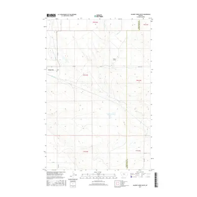
2017 Halbert Creek South
Wheatland County, MT
2017 Harlowton SW
Wheatland County, MT
2017 Haymaker Narrows
Wheatland County, MT
2017 Haymaker Ranch SW
Wheatland County, MT
2017 Haymaker Ranch
Wheatland County, MT
2017 Hedgesville
Wheatland County, MT
2017 Hopley Creek North
Wheatland County, MT
2017 Hopley Creek South
Wheatland County, MT
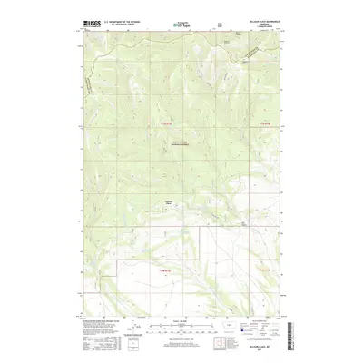
2017 Jellison Place
Wheatland County, MT
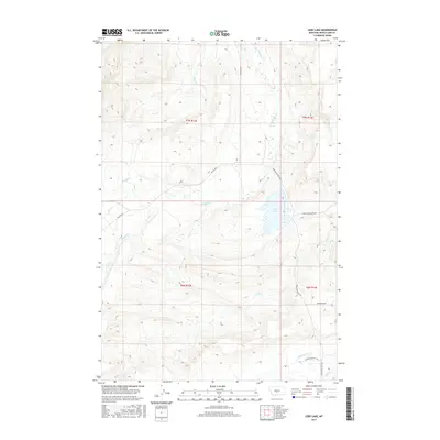
2017 Lebo Lake
Wheatland County, MT
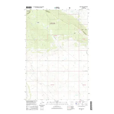
2017 Mead Creek
Wheatland County, MT
2017 Nihill
Wheatland County, MT
2017 Oka
Wheatland County, MT
2017 Oxford
Wheatland County, MT
2017 Snow Saucer Coulee
Wheatland County, MT
2017 Ten O'Clock Gate
Wheatland County, MT
2017 Twodot NW
Wheatland County, MT
2017 Yaple Bench
Wheatland County, MT
2020 Cinnamon Spring
Wheatland County, MT
2020 Deadmans Basin Reservoir
Wheatland County, MT
2020 Devils Pocket
Wheatland County, MT
2020 Elephant Rocks
Wheatland County, MT
2020 Ethels Coulee
Wheatland County, MT
2020 Halbert Creek North
Wheatland County, MT
2020 Halbert Creek South
Wheatland County, MT
2020 Harlowton SW
Wheatland County, MT
2020 Haymaker Narrows
Wheatland County, MT
2020 Haymaker Ranch SW
Wheatland County, MT
2020 Haymaker Ranch
Wheatland County, MT
2020 Hedgesville
Wheatland County, MT
2020 Hopley Creek North
Wheatland County, MT
2020 Hopley Creek South
Wheatland County, MT
2020 Jellison Place
Wheatland County, MT
2020 Lebo Lake
Wheatland County, MT
2020 Mead Creek
Wheatland County, MT
2020 Nihill
Wheatland County, MT
2020 Oka
Wheatland County, MT
2020 Oxford
Wheatland County, MT
2020 Snow Saucer Coulee
Wheatland County, MT
2020 Ten O'Clock Gate
Wheatland County, MT
2020 Twodot NW
Wheatland County, MT
2020 Yaple Bench
Wheatland County, MT
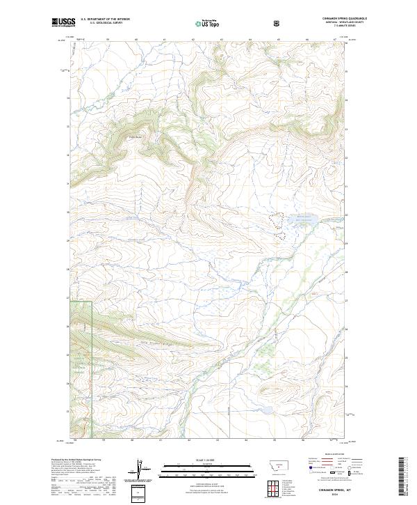
2024 Cinnamon Spring
Wheatland County, MT
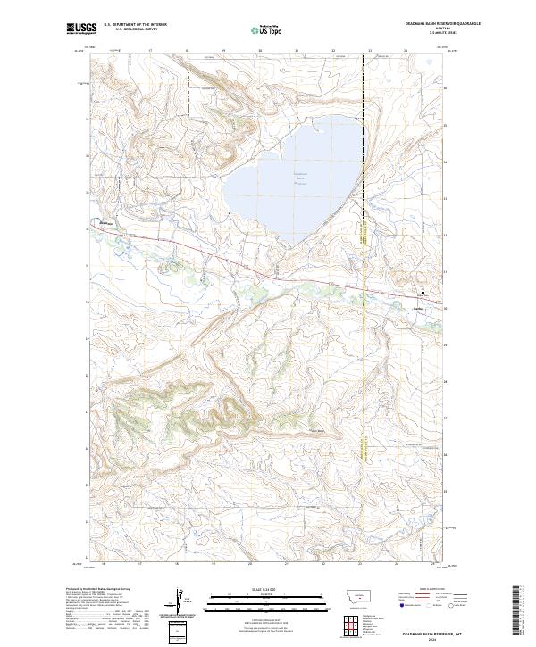
2024 Deadmans Basin Reservoir
Wheatland County, MT
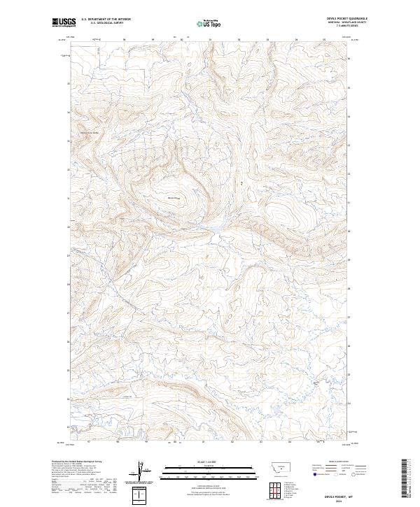
2024 Devils Pocket
Wheatland County, MT
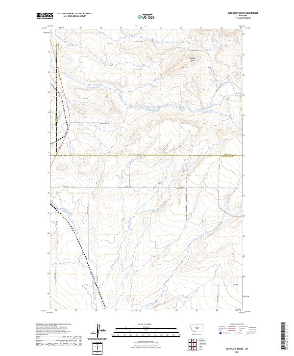
2024 Elephant Rocks
Wheatland County, MT
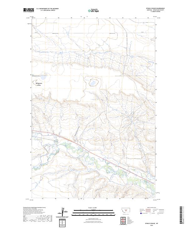
2024 Ethels Coulee
Wheatland County, MT
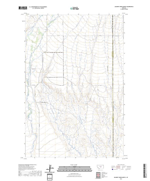
2024 Halbert Creek North
Wheatland County, MT
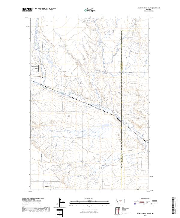
2024 Halbert Creek South
Wheatland County, MT
2024 Harlowton SW
Wheatland County, MT
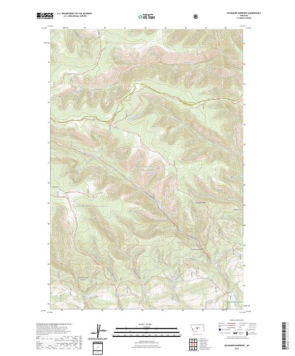
2024 Haymaker Narrows
Wheatland County, MT
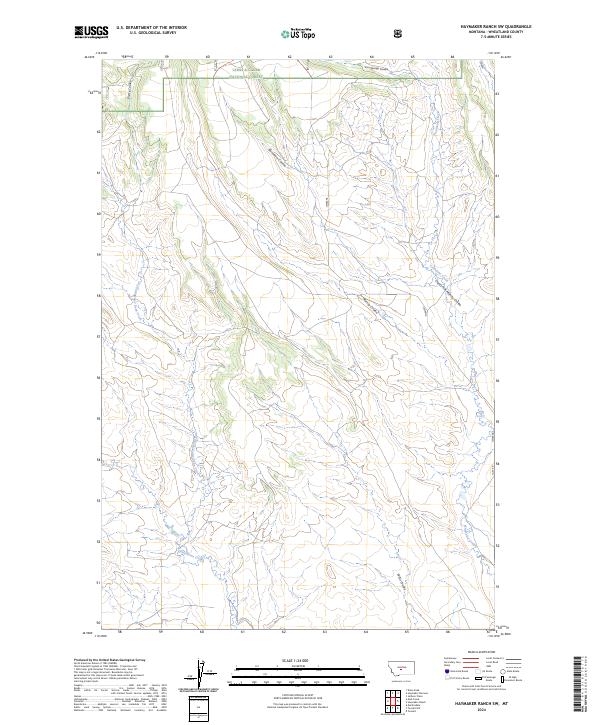
2024 Haymaker Ranch SW
Wheatland County, MT
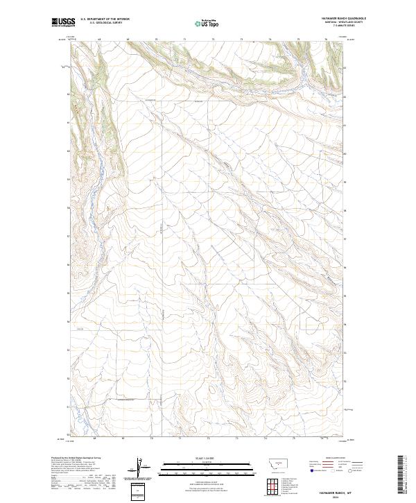
2024 Haymaker Ranch
Wheatland County, MT
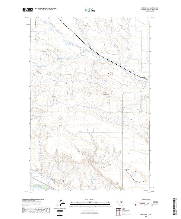
2024 Hedgesville
Wheatland County, MT
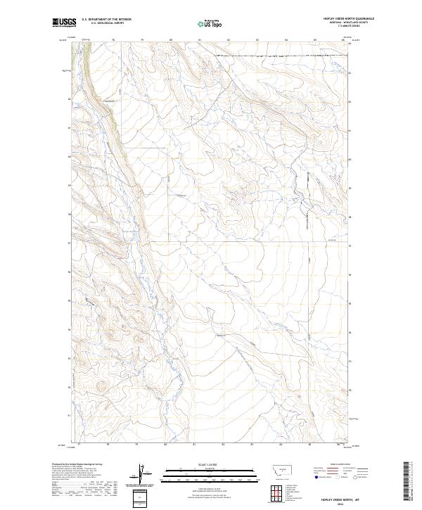
2024 Hopley Creek North
Wheatland County, MT

2024 Hopley Creek South
Wheatland County, MT
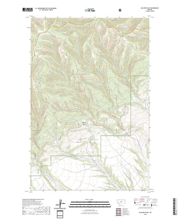
2024 Jellison Place
Wheatland County, MT
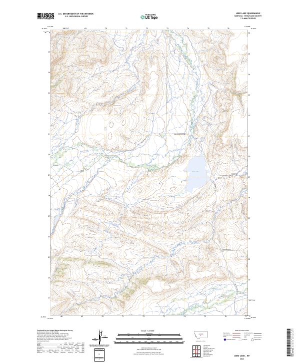
2024 Lebo Lake
Wheatland County, MT
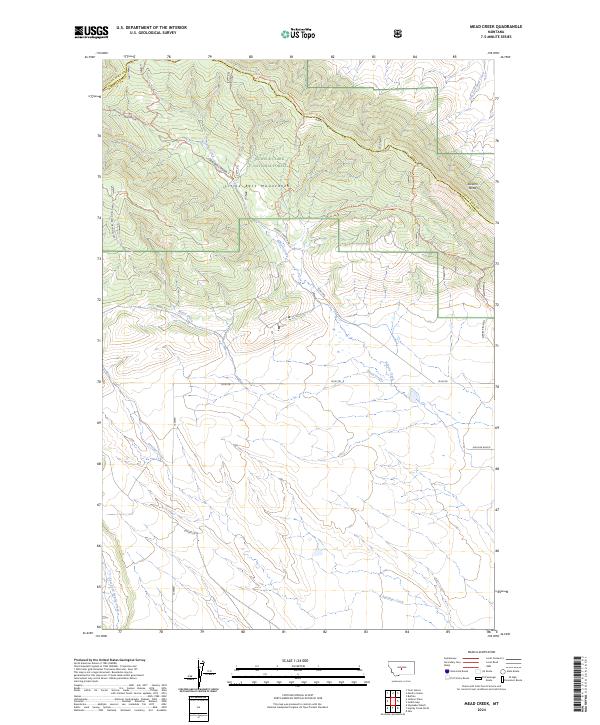
2024 Mead Creek
Wheatland County, MT
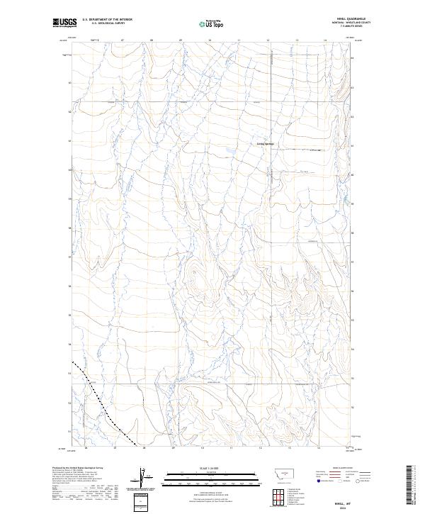
2024 Nihill
Wheatland County, MT
2024 Oka
Wheatland County, MT
2024 Oxford
Wheatland County, MT
2024 Snow Saucer Coulee
Wheatland County, MT
2024 Ten O'Clock Gate
Wheatland County, MT
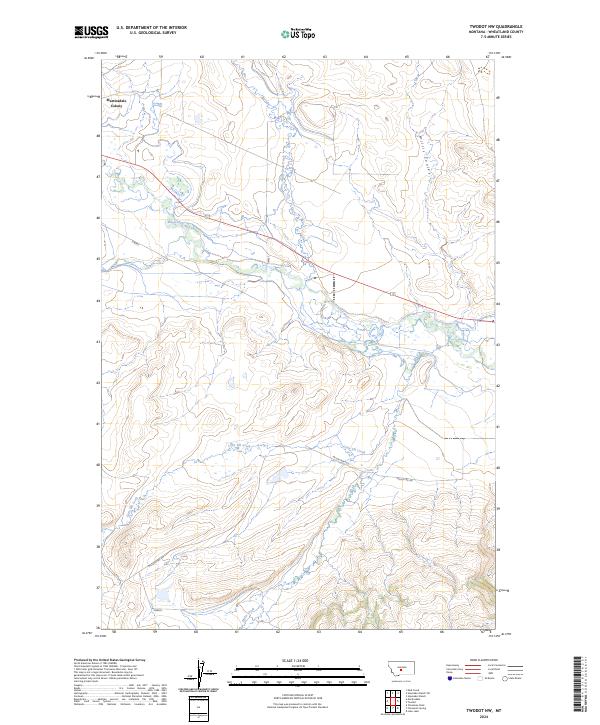
2024 Twodot NW
Wheatland County, MT
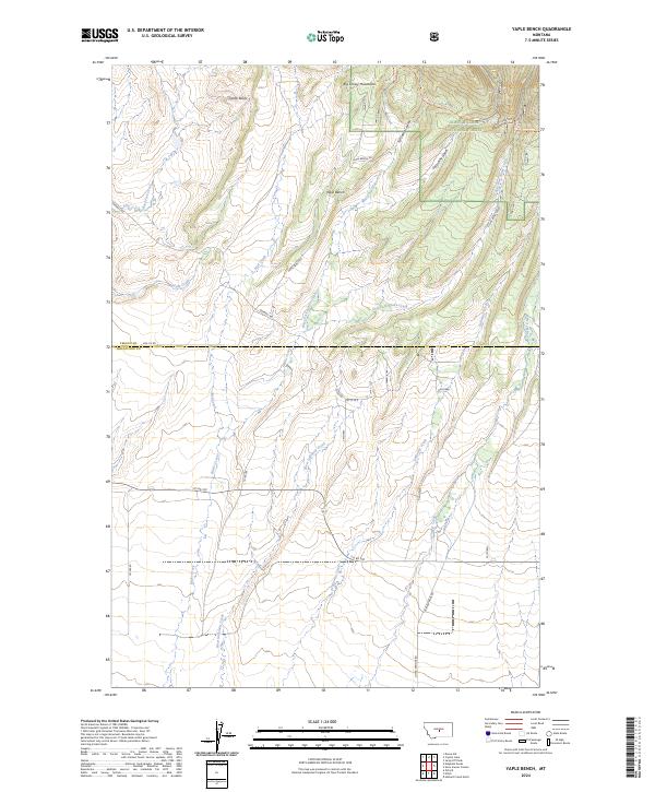
2024 Yaple Bench
Wheatland County, MT