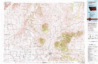
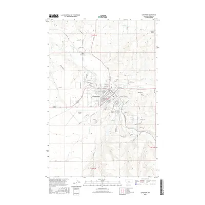
1954 Map of Lewistown
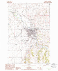
USGS Topo · Published 1978About this map
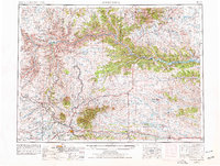
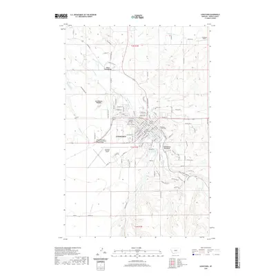
Lewistown serves as the central hub of this central Montana landscape, where the agricultural flats of the Judith Basin meet the dramatic rises of the South Moccasin Mts and North Moccasin Mts. The map reveals a mid-century transport network defined by the Burlington Northern and Chicago Milwaukee St Paul and Pacific railroads, which linked small grain-handling settlements like Moccasin, Hobson, and Stanford. To the north and east, the terrain becomes increasingly complex as the Missouri River cuts through the plains, bordered by the expansive Charles M Russell National Wildlife Range. The northern edge is bounded by the Fort Belknap Indian Reservation and the slopes of the Little Rocky Mountains. Notable landmarks such as Judith Peak and Black Butte punctuate the horizon, while isolated outposts like Valentine and Holland Ranch highlight the vast distances of the ranching frontier during this era of 1970s revision.
Find a feature on this map
146 named features on this map. Tap any name to fly to it.
Don’t see what you’re looking for? This feature index may not catch every label — zoom into the map to look around manually.
Map Details
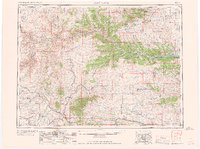
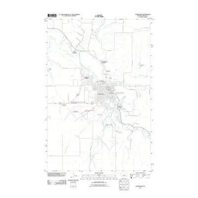
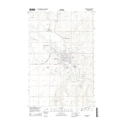
Editions of this 1954 Lewistown Map
3 editions found


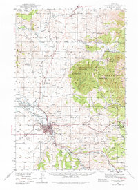
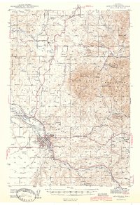
Historical Maps of Lewistown Through Time
11 maps found
1941 Lewistown
Fergus County, MT
1944 Lewistown
Fergus County, MT
1954 Lewistown
Fergus County, MT
1959 Lewistown
Fergus County, MT
1978 Lewistown
Fergus County, MT
1985 Lewistown
Fergus County, MT
2011 Lewistown
Fergus County, MT
2014 Lewistown
Fergus County, MT
2017 Lewistown
Fergus County, MT
2020 Lewistown
Fergus County, MT
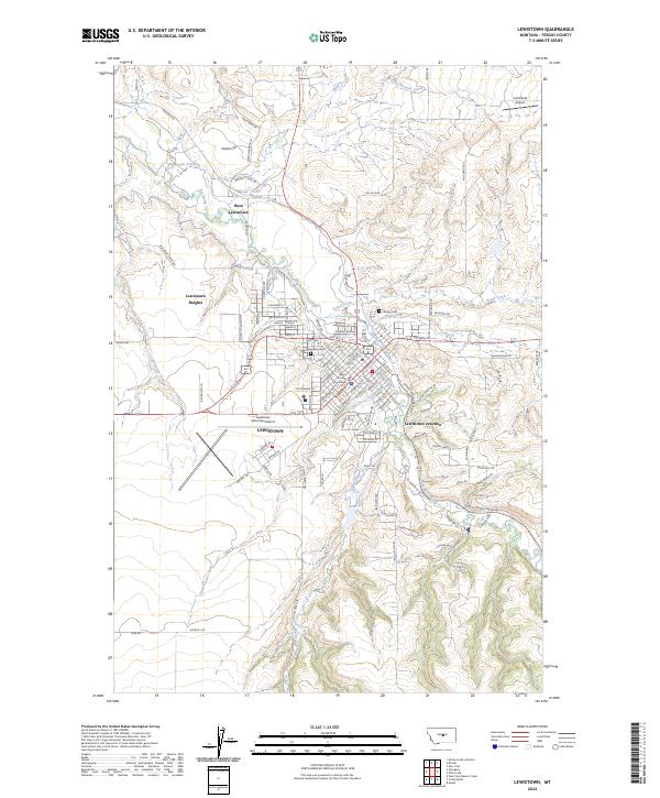
2024 Lewistown
Fergus County, MT