
1893 Map of Huntley
USGS Topo · Published 1893About this map
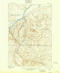
The Yellowstone River cuts through this high plains landscape just as the Northern Pacific Railroad was establishing a transportation corridor through southern Montana. Most of the southern half of the sheet is dominated by the Crow Indian Reservation, defined to the west by the Western Boundary Crow Indian Reservation near Arrow Creek. The topography is characterized by a dense network of coulees and creeks, including Fly Creek and Indian Creek, leading into the dissected terrain of the Bad Lands in the southeast.
Find a feature on this map
20 named features on this map. Tap any name to fly to it.
Don’t see what you’re looking for? This feature index may not catch every label — zoom into the map to look around manually.
Map Details
Editions of this 1893 Huntley Map
6 editions found
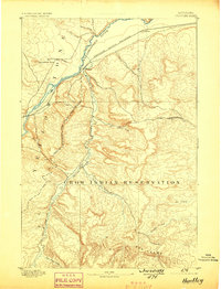
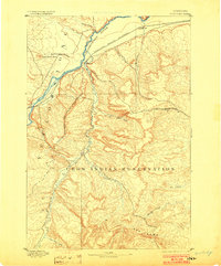
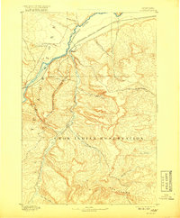
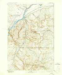
Other maps of this area

1894 · St. Xavier
USGS Topo · 1:125,000

1894 · Fort Custer
USGS Topo · 1:125,000

1901 · St. Xavier
USGS Topo · 1:125,000

1915 · Spenceville
USGS Topo · 1:31,680

1954 · Billings
USGS Topo · 1:250,000

1954 · Hardin
USGS Topo · 1:250,000

1954 · Forsyth
USGS Topo · 1:250,000

1954 · Roundup
USGS Topo · 1:250,000

1956 · Rattlesnake Butte
USGS Topo · 1:24,000

1956 · Hickson Ranch
USGS Topo · 1:24,000