
1953 Map of Miles City
USGS Topo · Published 1966About this map
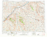
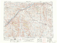
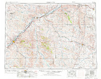
The Yellowstone River and its major tributaries, the Powder River and Tongue River, define this mid-century landscape of eastern Montana and western North Dakota. This era shows the dominance of the Northern Pacific and the Chicago Milwaukee St Paul and Pacific railroads as they connect hubs like Miles City and Baker. The survey highlights a rural infrastructure of one-room schoolhouses and community landmarks, such as Yates School and St Phillips Church, situated among the wide drainages of Boxelder Creek and O'Fallon Creek. Local geography is anchored by prominent elevations like Signal Butte and the natural formations of Medicine Rocks. This record also tracks the region's early industrial footprint through scattered Oil wells and the establishment of the Lamsteer National Wildlife Refuge near the state line.
Find a feature on this map
62 named features on this map. Tap any name to fly to it.
Don’t see what you’re looking for? This feature index may not catch every label — zoom into the map to look around manually.
Map Details
Editions of this 1953 Miles City Map
4 editions found
Other maps of this area

1909 · Glendive
USGS Topo · 1:250,000

1935 · Buffalo
USGS Topo · 1:125,000

1953 · Dickinson
USGS Topo · 1:250,000

1953 · Watford City
USGS Topo · 1:250,000

1954 · Hardin
USGS Topo · 1:250,000

1954 · Lemmon
USGS Topo · 1:250,000

1954 · Jordan
USGS Topo · 1:250,000

1954 · Ekalaka
USGS Topo · 1:250,000

1954 · Forsyth
USGS Topo · 1:250,000

1954 · Glendive
USGS Topo · 1:250,000