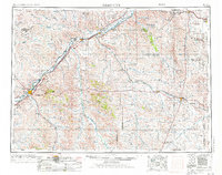
1953 Map of Miles City
USGS Topo · Published 1984About this map
Yellowstone River and Powder River converge in this mid-century survey of eastern Montana, where the river valleys dictate the path of heavy rail and settlement. The Burlington Northern and Chicago Milwaukee St Paul And Pacific railroads trace the riverbanks, connecting cattle-ranching hubs like Miles City and Terry with outlying sidings such as Ulmer Siding and Beaver Hill Siding.
Find a feature on this map
86 named features on this map. Tap any name to fly to it.
Don’t see what you’re looking for? This feature index may not catch every label — zoom into the map to look around manually.
Map Details
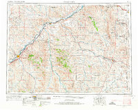
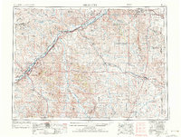
Editions of this 1953 Miles City Map
4 editions found
Other maps of this area

1909 · Glendive
USGS Topo · 1:250,000

1935 · Buffalo
USGS Topo · 1:125,000

1953 · Miles City
USGS Topo · 1:250,000

1953 · Dickinson
USGS Topo · 1:250,000

1953 · Watford City
USGS Topo · 1:250,000

1954 · Hardin
USGS Topo · 1:250,000

1954 · Lemmon
USGS Topo · 1:250,000

1954 · Jordan
USGS Topo · 1:250,000

1954 · Ekalaka
USGS Topo · 1:250,000

1954 · Forsyth
USGS Topo · 1:250,000