
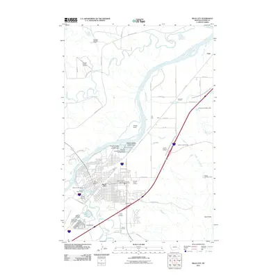
1953 Map of Miles City
USGS Topo · Published 1973About this map
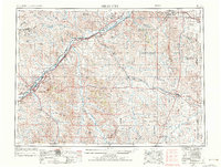
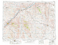
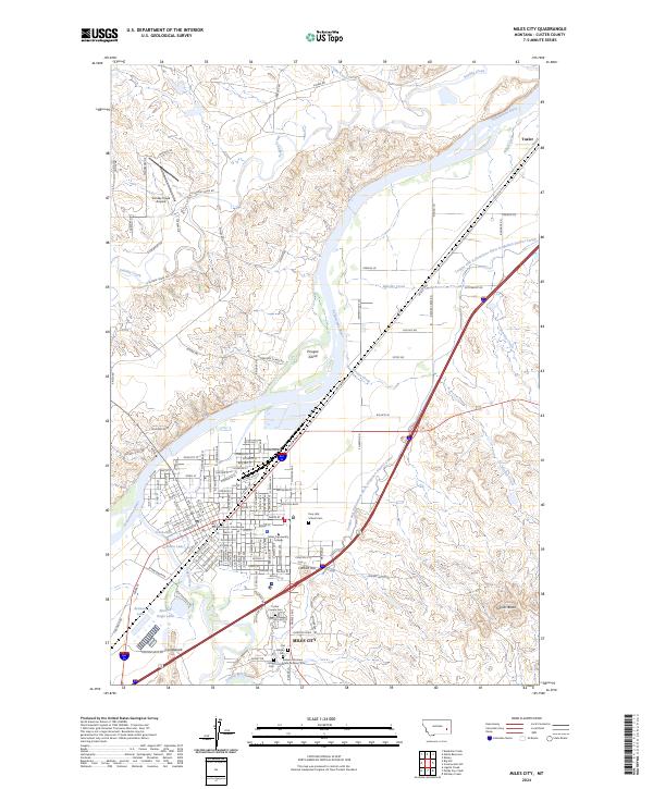
The Yellowstone River and Powder River define this mid-century view of Eastern Montana, where the region's agricultural and ranching foundations are visible through an extensive network of rural schools. Small educational outposts like Hartwick School, Milk Creek School, and Fertile Prairie School dot the landscape, illustrating the dispersed nature of homesteading communities across Custer and Fallon Counties. The infrastructure of the era is anchored by two major rail lines, the Northern Pacific and the Chicago Milwaukee St Paul and Pacific, which connect larger trade centers such as Miles City and Baker.
Find a feature on this map
45 named features on this map. Tap any name to fly to it.
Don’t see what you’re looking for? This feature index may not catch every label — zoom into the map to look around manually.
Map Details
Editions of this 1953 Miles City Map
4 editions found

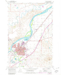
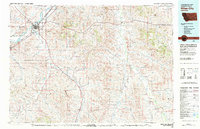
Historical Maps of Miles City Through Time
10 maps found
1953 Miles City
Custer County, MT

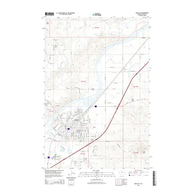
1957 Miles City
Custer County, MT

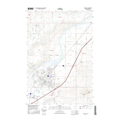
1958 Miles City
Custer County, MT
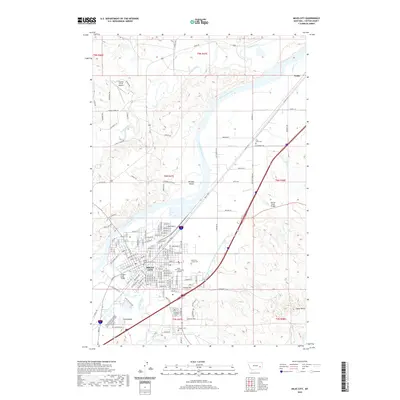
1968 Miles City
Custer County, MT
1980 Miles City
Custer County, MT
2011 Miles City
Custer County, MT
2014 Miles City
Custer County, MT
2017 Miles City
Custer County, MT
2020 Miles City
Custer County, MT
2024 Miles City
Custer County, MT