Old Maps of Myers, Montana
Explore 11 old maps of Myers, spanning from 1954 to today. These high-resolution historic maps reveal how streets, neighborhoods, landmarks, and natural features evolved over time — perfect for genealogy, metal detecting, research, and local history exploration.
What you can do with these maps:
- See how Myers changed over time: Compare historical maps to modern-day views to trace roads, homesites, rail lines & more.
- View detailed metadata: Each map includes creators, publishers, year, scale, and archive source.
- Overlay maps with satellite & LiDAR: Visualize the past alongside modern tools to explore terrain & human change.
- Trusted historical sources: Maps sourced from the USGS, Library of Congress, and other archives.
- Access maps your way: View online, download high-res files, or order prints for personal or research use.
Start exploring old maps of Myers to uncover forgotten places, hidden landmarks, and the deep history beneath your feet.
Myers, MT maps
(11)- 1954 Map of Forsyth, 1966 Print
 1954 Forsyth1966 Print · USGSThe Yellowstone River valley and the northern high plains are captured here in the mid-1950s during a period of expanding energy and rail infrastructure. Genealogists and historians can trace rail sidings and cattle-country outposts like Ingomar, Vananda, and Angela.3 unique versions available
 - 1957 Map of Forsyth
 1957 Forsyth1957 Print · USGSSouth-central Montana in the late fifties is captured here through its dual-river geography and emergent energy economy. Researchers can trace the path of the Northern Pacific through Forsyth, locate the Ragged Point Oil Field, and find early sidings like Ahles Siding.
 - 1958 Map of Forsyth
 1958 Forsyth1958 Print · USGSMid-century Montana comes alive along the Yellowstone River and the competing transcontinental rail lines. Local historians can trace the legacy of the Northern Pacific through Forsyth or explore early oil developments at the Ragged Point Oil Field.
 - 1960 Map of Myers, 1962 Print
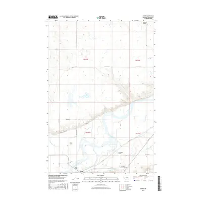
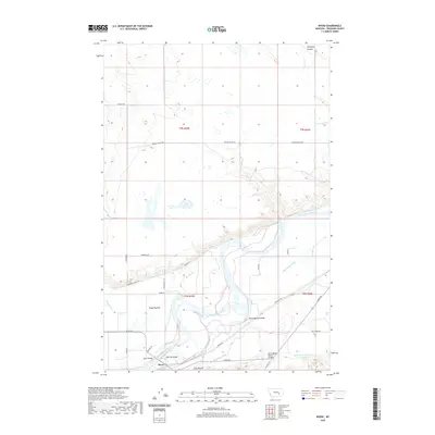
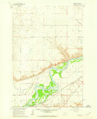 1960 Myers1962 Print · USGSThe Yellowstone River valley of Treasure County comes alive in the early sixties, showing a landscape defined by irrigation and the railroad. Genealogists and local historians can locate the Rancher Ch and Rancher Sch, or trace the tracks of the Northern Pacific through Myers.2 unique versions available
 - 1979 Map of Hysham
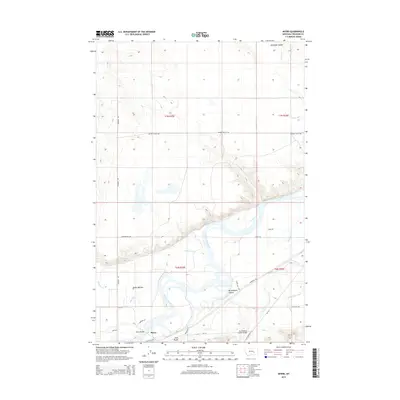
 1979 Hysham1979 Print · USGSBig Sky cattle country and river-fed valleys define this 1970s Montana landscape at the junction of two major rivers. Genealogists and historians can trace rail-side towns like Hysham, Myers, and Sanders, or locate family landmarks near Pease Bottom and Bull Mtn.
 - 1983 Map of Forsyth
 1983 Forsyth1983 Print · USGSEastern Montana's high plains and river valleys come into focus in the early eighties as the rail-and-ranching economy centered on the Yellowstone River. Researchers can trace the development of small rail towns like Hysham, Angela, and Ingomar alongside the Burlington Northern line.
 - 2011 Map of Myers, 2011 Print
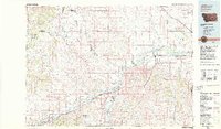
 2011 Myers2011 Print · USGSCovers Myers, including Treasure County, United States, and other nearby areas
 - 2014 Map of Myers, 2014 Print
 2014 Myers2014 Print · USGSCovers Myers, including Treasure County, United States, and other nearby areas
 - 2017 Map of Myers, 2017 Print
 2017 Myers2017 Print · USGSCovers Myers, including Treasure County, United States, and other nearby areas
 - 2020 Map of Myers, 2020 Print
 2020 Myers2020 Print · USGSCovers Myers, including Treasure County, United States, and other nearby areas
 - 2024 Map of Myers, 2024 Print
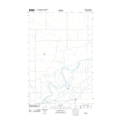
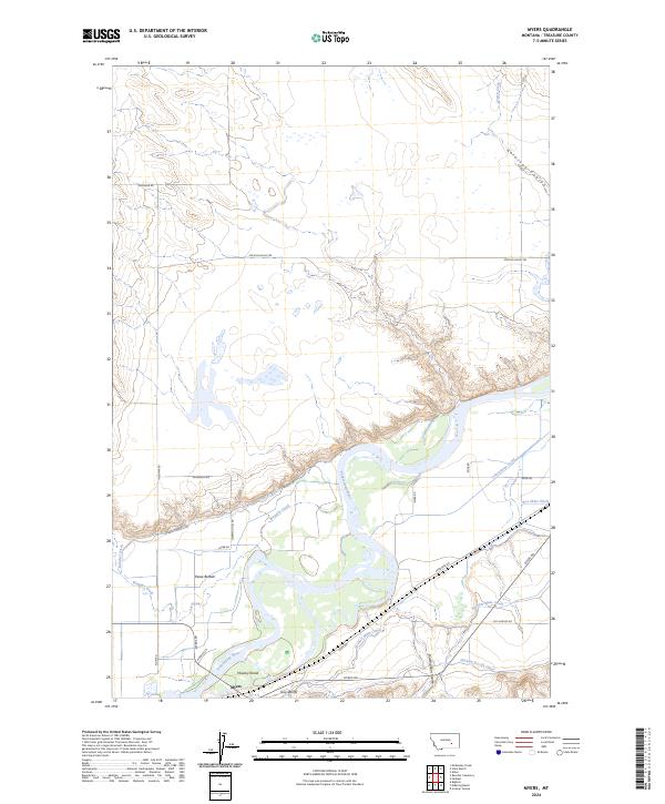 2024 Myers2024 Print · USGSThe Yellowstone River valley comes into sharp focus during this mid-2020s survey of Treasure County. Genealogists and local historians can trace the irrigation networks that supported settlements like Myers and Pease Bottom, including the Hysham-Re-Lift Canal and Rancher Ditch.
End of results
Showing maps 1-11 of 11
Top cities near Myers
Frequently asked questions
- What are the different types of historical maps available for Myers?
- What is the oldest map of Myers?
- Where can I purchase historical maps of Myers for my home or office?
- Where can I download high-res historical maps of Myers?
- Are there historical topographic maps available for Myers?
- Is there historical aerial imagery available for Myers?
- Where are historical maps of Myers sourced from?