Old Maps of Beaverton, Montana for Hiking & Exploration
Hike through history with 11 historic maps of Beaverton. Explore old trails, ghost towns, and forgotten backroads — perfect for outdoor adventurers and local explorers.
- Rediscover forgotten places: Map out old mining camps, roads, and footpaths that no longer exist on modern maps.
- Layer with modern tools: Combine with LiDAR or satellite views to plan hikes through historical terrain.
- Made for exploration: Popular among hikers, overlanders, and local history lovers.
Use these maps to find adventure and explore the hidden past of Beaverton.
Beaverton, MT maps
(11)- 1905 Map of Saco Special
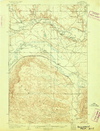 1905 Saco Special1905 Print · USGSNorthern Montana at the start of the twentieth century shows a ranching landscape centered on the Great Northern R. R. and the winding Milk River. Genealogists can trace early homesteads like Taylor's Ranch and Whitfords Ranch or locate the rural River School.2 unique versions available
 - 1954 Map of Glasgow, 1967 Print
 1954 Glasgow1967 Print · USGSNortheastern Montana is shown during the mid-fifties as the rail-and-river economy shaped the plains. Trace family roots and vanished landmarks from the Wendell Post Office to the Great Northern sidings at Ashfield and Hinsdale.2 unique versions available
 - 1957 Map of Glasgow
 1957 Glasgow1957 Print · USGSNortheastern Montana during the late 1950s shows a landscape shaped by the Milk River and the expanding influence of the Fort Peck Lake reservoir. Genealogists and historians can trace the Great Northern rail stops from Malta to Glasgow, including old sidings like Kintyre Siding and rural centers like Opheim.
 - 1958 Map of Glasgow
 1958 Glasgow1958 Print · USGSNortheastern Montana comes to life in this mid-century survey of the Milk River valley and the Great Northern rail corridor. Researchers can trace the rise and fall of work camps like New Deal and Wheeler alongside remote landmarks like the Wendell Post Office.2 unique versions available
 - 1984 Map of Saco
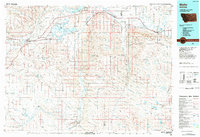
 1984 Saco1984 Print · USGSPhillips County in the mid-1980s is defined by the intersection of the Saco townsite and the winding Beaver Creek. Genealogists and researchers can trace local landmarks like the Cem or follow the path of the Nelson South Number 9 Canal toward Beaverton.
 - 1984 Map of Malta
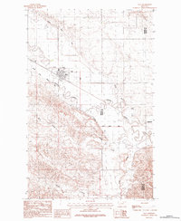
 1984 Malta1984 Print · USGSNorthern Montana's river and rail corridor is meticulously detailed in the mid-1980s, centered on the Milk River and Malta. Researchers can trace the Burlington Northern line through historic stops like Hinsdale, Ashfield, and Beaverton.
 - 2011 Map of Saco, 2011 Print
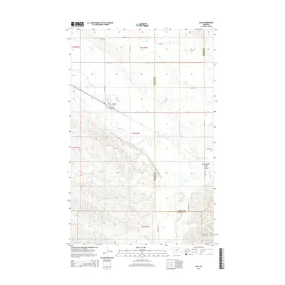
 2011 Saco2011 Print · USGSCovers Beaverton, including Saco, Valley County, and other nearby areas
 - 2014 Map of Saco, 2014 Print
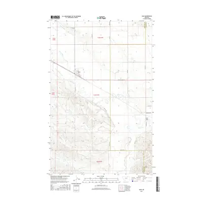
 2014 Saco2014 Print · USGSCovers Beaverton, including Saco, Valley County, and other nearby areas
 - 2017 Map of Saco, 2017 Print
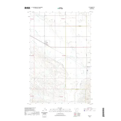
 2017 Saco2017 Print · USGSCovers Beaverton, including Saco, Valley County, and other nearby areas
 - 2020 Map of Saco, 2020 Print
 2020 Saco2020 Print · USGSCovers Beaverton, including Saco, Valley County, and other nearby areas
 - 2024 Map of Saco, 2024 Print
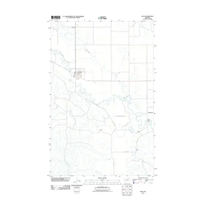
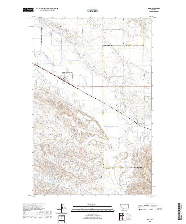 2024 Saco2024 Print · USGSSaco and the surrounding Montana ranchlands are documented here in the early twenty-first century, showing the critical irrigation network of the northern plains. Researchers can trace family plots at Grandview Cem or follow the paths of Beaver Creek and the Larb Hills.
End of results
Showing maps 1-11 of 11
Top cities near Beaverton
Frequently asked questions
- What are the different types of historical maps available for Beaverton?
- What is the oldest map of Beaverton?
- Where can I purchase historical maps of Beaverton for my home or office?
- Where can I download high-res historical maps of Beaverton?
- Are there historical topographic maps available for Beaverton?
- Is there historical aerial imagery available for Beaverton?
- Where are historical maps of Beaverton sourced from?