Old Maps of Richland, Montana for Genealogy
Trace your family roots with 10 historic maps of Richland. These high-res maps reveal old neighborhoods, homesites, landmarks, and streets — helping you uncover where your ancestors lived and how the area evolved over time.
- Explore historic neighborhoods: Identify where your relatives may have lived in the 1800s or 1900s.
- Compare maps over time: Trace the changes in streets, buildings, and landmarks for multi-generational research.
- Perfect for genealogy & ancestry research: Used by family historians and researchers to map out lineage and migration.
These maps are an incredible resource for exploring your personal connection to Richland's past.
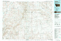
Richland, MT maps
(10)- 1954 Map of Glasgow, 1967 Print
 1954 Glasgow1967 Print · USGSNortheastern Montana is shown during the mid-fifties as the rail-and-river economy shaped the plains. Trace family roots and vanished landmarks from the Wendell Post Office to the Great Northern sidings at Ashfield and Hinsdale.2 unique versions available
 - 1957 Map of Glasgow
 1957 Glasgow1957 Print · USGSNortheastern Montana during the late 1950s shows a landscape shaped by the Milk River and the expanding influence of the Fort Peck Lake reservoir. Genealogists and historians can trace the Great Northern rail stops from Malta to Glasgow, including old sidings like Kintyre Siding and rural centers like Opheim.
 - 1958 Map of Glasgow
 1958 Glasgow1958 Print · USGSNortheastern Montana comes to life in this mid-century survey of the Milk River valley and the Great Northern rail corridor. Researchers can trace the rise and fall of work camps like New Deal and Wheeler alongside remote landmarks like the Wendell Post Office.2 unique versions available
 - 1973 Map of Richland, 1976 Print
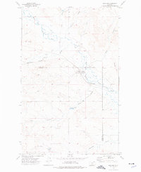 1973 Richland1976 Print · USGSRichland and the surrounding prairie of Daniels County appear in the early 1970s as a vital rail-and-river hub. Researchers can trace the Burlington Northern line, family-named sites like the Battin Mine, and local landmarks including Richland Hill.
 - 1984 Map of Opheim
 1984 Opheim1984 Print · USGSNortheastern Montana’s borderlands are captured here in the mid-1980s, where the high plains meet the international boundary. Researchers can trace the BURLINGTON NORTHERN rail line through small grain-belt settlements like Glentana and Richland or locate the OPHEIM AIR FORCE STATION and several local coal operations like the Sioux City Mine.
 - 2011 Map of Richland, 2011 Print
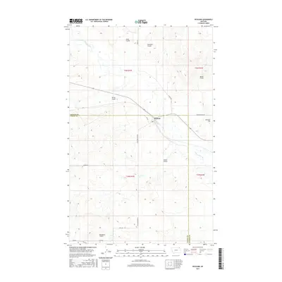
 2011 Richland2011 Print · USGSCovers Richland, including Valley County, Daniels County, and other nearby areas
 - 2014 Map of Richland, 2014 Print
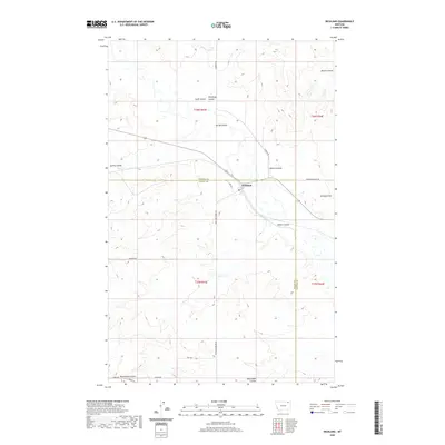
 2014 Richland2014 Print · USGSCovers Richland, including Valley County, Daniels County, and other nearby areas
 - 2017 Map of Richland, 2017 Print
 2017 Richland2017 Print · USGSCovers Richland, including Valley County, Daniels County, and other nearby areas
 - 2020 Map of Richland, 2020 Print
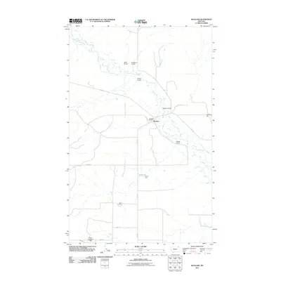
 2020 Richland2020 Print · USGSCovers Richland, including Valley County, Daniels County, and other nearby areas
 - 2024 Map of Richland, 2024 Print
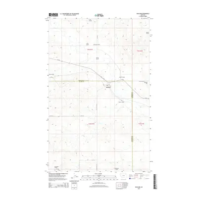
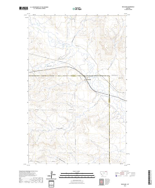 2024 Richland2024 Print · USGSThe border of Daniels and Valley counties comes alive in this contemporary survey of the Montana high plains. Researchers can trace the rural layout of Richland and follow the intricate drainages of Swift Coulee and the West Fork Poplar River.
End of results
Showing maps 1-10 of 10
Frequently asked questions
- What are the different types of historical maps available for Richland?
- What is the oldest map of Richland?
- Where can I purchase historical maps of Richland for my home or office?
- Where can I download high-res historical maps of Richland?
- Are there historical topographic maps available for Richland?
- Is there historical aerial imagery available for Richland?
- Where are historical maps of Richland sourced from?