Old Maps of Roanwood, Montana
Explore 10 old maps of Roanwood, spanning from 1954 to today. These high-resolution historic maps reveal how streets, neighborhoods, landmarks, and natural features evolved over time — perfect for genealogy, metal detecting, research, and local history exploration.
What you can do with these maps:
- See how Roanwood changed over time: Compare historical maps to modern-day views to trace roads, homesites, rail lines & more.
- View detailed metadata: Each map includes creators, publishers, year, scale, and archive source.
- Overlay maps with satellite & LiDAR: Visualize the past alongside modern tools to explore terrain & human change.
- Trusted historical sources: Maps sourced from the USGS, Library of Congress, and other archives.
- Access maps your way: View online, download high-res files, or order prints for personal or research use.
Start exploring old maps of Roanwood to uncover forgotten places, hidden landmarks, and the deep history beneath your feet.
Roanwood, MT maps
(10)- 1954 Map of Glasgow, 1967 Print
 1954 Glasgow1967 Print · USGSNortheastern Montana is shown during the mid-fifties as the rail-and-river economy shaped the plains. Trace family roots and vanished landmarks from the Wendell Post Office to the Great Northern sidings at Ashfield and Hinsdale.2 unique versions available
 - 1957 Map of Glasgow
 1957 Glasgow1957 Print · USGSNortheastern Montana during the late 1950s shows a landscape shaped by the Milk River and the expanding influence of the Fort Peck Lake reservoir. Genealogists and historians can trace the Great Northern rail stops from Malta to Glasgow, including old sidings like Kintyre Siding and rural centers like Opheim.
 - 1958 Map of Glasgow
 1958 Glasgow1958 Print · USGSNortheastern Montana comes to life in this mid-century survey of the Milk River valley and the Great Northern rail corridor. Researchers can trace the rise and fall of work camps like New Deal and Wheeler alongside remote landmarks like the Wendell Post Office.2 unique versions available
 - 1973 Map of Roanwood, 1976 Print
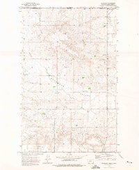 1973 Roanwood1976 Print · USGSThe Montana-Saskatchewan border highlights this northern prairie landscape in the early seventies, centered on the community of Roanwood. Researchers can trace the rural infrastructure of the Roanwood Valley, from a small Cem to the Opheim Port of Entry US Customs.
 - 1984 Map of Opheim
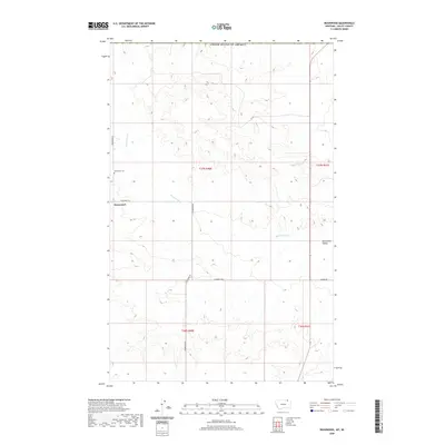
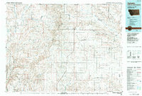 1984 Opheim1984 Print · USGSNortheastern Montana’s borderlands are captured here in the mid-1980s, where the high plains meet the international boundary. Researchers can trace the BURLINGTON NORTHERN rail line through small grain-belt settlements like Glentana and Richland or locate the OPHEIM AIR FORCE STATION and several local coal operations like the Sioux City Mine.
 - 2011 Map of Roanwood, 2011 Print
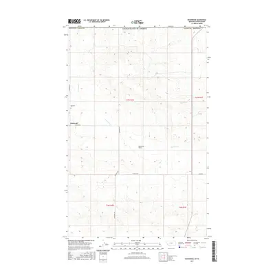
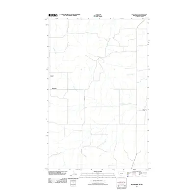 2011 Roanwood2011 Print · USGSCovers Roanwood, including Valley County, Old Post No. 43, and other nearby areas
 - 2014 Map of Roanwood, 2014 Print
 2014 Roanwood2014 Print · USGSCovers Roanwood, including Valley County, Old Post No. 43, and other nearby areas
 - 2017 Map of Roanwood, 2017 Print
 2017 Roanwood2017 Print · USGSCovers Roanwood, including Valley County, Old Post No. 43, and other nearby areas
 - 2020 Map of Roanwood, 2020 Print
 2020 Roanwood2020 Print · USGSCovers Roanwood, including Valley County, Old Post No. 43, and other nearby areas
 - 2024 Map of Roanwood, 2024 Print
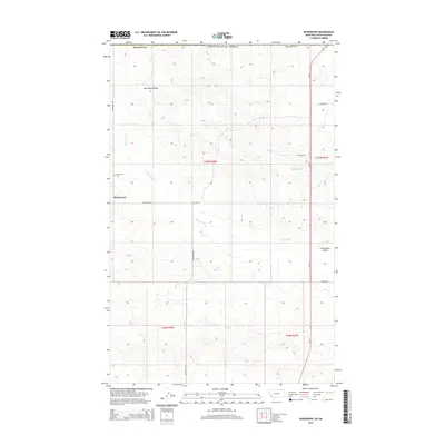
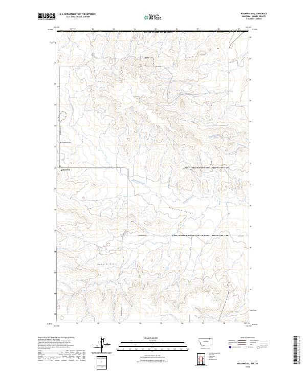 2024 Roanwood2024 Print · USGSValley County, Montana, at the edge of the Canadian border, reveals a landscape of high plains ranching and remote settlements. Researchers can trace the layout of Roanwood, locate the Roanwood Cem, and follow the drainages of the Opheim Hills.
End of results
Showing maps 1-10 of 10
Top cities near Roanwood
Frequently asked questions
- What are the different types of historical maps available for Roanwood?
- What is the oldest map of Roanwood?
- Where can I purchase historical maps of Roanwood for my home or office?
- Where can I download high-res historical maps of Roanwood?
- Are there historical topographic maps available for Roanwood?
- Is there historical aerial imagery available for Roanwood?
- Where are historical maps of Roanwood sourced from?