
1973 Map of Roanwood
USGS Topo · Published 1976About this map
The Canada United States border defines the northern edge of this northern Montana landscape, where the Opheim Port of Entry US Customs facilitates international passage between Saskatchewan and Montana. The small community of Roanwood serves as a focal point in the Roanwood Valley, a region characterized by its agricultural utility and drainage patterns. Water features like Roanwood Creek and Mosquito Creek wind through the terrain, while several unnamed Springs provide vital water sources in this semi-arid environment. The presence of Storage Bins and a Gravel Pit indicates a localized economy based on farming and resource extraction. For those tracing family histories or land use, the map identifies a small Cem and various wells scattered across the township, showing the distribution of rural life and infrastructure in Valley County during the early 1970s.
Find a feature on this map
14 named features on this map. Tap any name to fly to it.
Don’t see what you’re looking for? This feature index may not catch every label — zoom into the map to look around manually.
Map Details
Editions of this 1973 Roanwood Map
This is the sole edition of this map. No revisions or reprints were ever made.
Other maps of this area

1919 · Boundary
USGS Topo · 1:125,000

1954 · Glasgow
USGS Topo · 1:250,000

1957 · Glasgow
USGS Topo · 1:250,000

1958 · Glasgow
USGS Topo · 1:250,000

1973 · Glentana West
USGS Topo · 1:24,000

1973 · Opheim
USGS Topo · 1:24,000
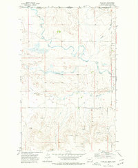
1973 · Glass Hill
USGS Topo · 1:24,000

1984 · O'Juel Lake
USGS Topo · 1:24,000

1984 · Opheim
USGS Topo · 1:100,000
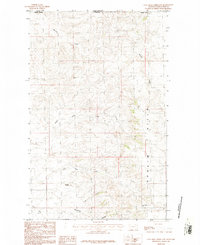
1984 · Coal Mine Creek East
USGS Topo · 1:24,000