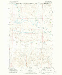
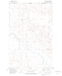
1973 Map of Glass Hill
USGS Topo · Published 1977About this map
The West Fork Poplar River meanders across this high plains borderland, where the Montana frontier meets the International Boundary in the early 1970s. This survey of the Maple Creek District in Valley County captures a landscape defined by seasonal watercourses like Mosquito Creek and Roanwood Creek that cut through the rolling breaks. Topographic landmarks like Round Butte and Glass Hill dominate the southern portion of the quadrangle, serving as essential reference points in a region of vast grazing lands. The human footprint here is sparse but deliberate, marked by scattered wells and agricultural storage bins, illustrating the late 20th-century reliance on managed water and grain storage in the remote northeast of the state. Settlers and ranchers in the area navigated a terrain etched by the broad depression of Happy Valley as it parallels the river's winding course.
Find a feature on this map
12 named features on this map. Tap any name to fly to it.
Don’t see what you’re looking for? This feature index may not catch every label — zoom into the map to look around manually.
Map Details
Editions of this 1973 Glass Hill Map
This is the sole edition of this map. No revisions or reprints were ever made.
Other maps of this area

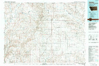
1954 · Glasgow
USGS Topo · 1:250,000

1957 · Glasgow
USGS Topo · 1:250,000

1958 · Glasgow
USGS Topo · 1:250,000
1973 · Glentana West
USGS Topo · 1:24,000
1973 · Opheim
USGS Topo · 1:24,000
1973 · Roanwood
USGS Topo · 1:24,000
1973 · Kaminski Hill
USGS Topo · 1:24,000
1973 · Glentana East
USGS Topo · 1:24,000
1984 · Opheim
USGS Topo · 1:100,000
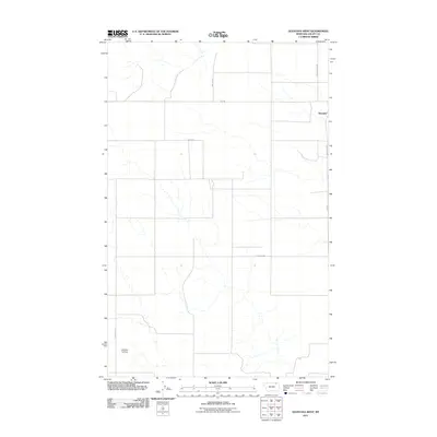
2011 · Glentana West
USGS Topo · 1:24,000