
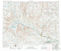
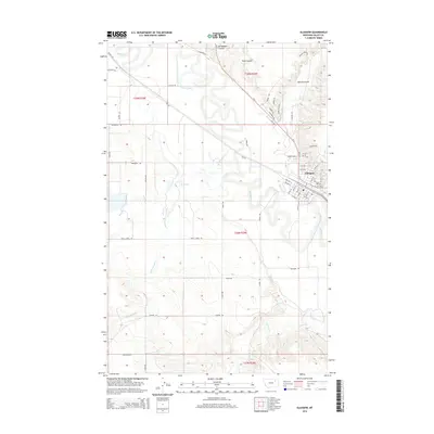
1957 Map of Glasgow
USGS Topo · Published 1957About this map
The Milk River valley serves as the primary artery of settlement across this mid-century Montana landscape, carrying the Great Northern railroad through towns like Hinsdale, Saco, and Malta. In the southeast, the massive Fort Peck Lake and its associated Fort Peck Game Range dominate the Missouri River drainage, while the western portion of the Fort Peck Indian Reservation stretches across the plains.
Find a feature on this map
78 named features on this map. Tap any name to fly to it.
Don’t see what you’re looking for? This feature index may not catch every label — zoom into the map to look around manually.
Map Details
Editions of this 1957 Glasgow Map
This is the sole edition of this map. No revisions or reprints were ever made.
Historical Maps of Glasgow Through Time
11 maps found

1943 Glasgow
Valley County, MT
1954 Glasgow
Valley County, MT
1957 Glasgow
Valley County, MT

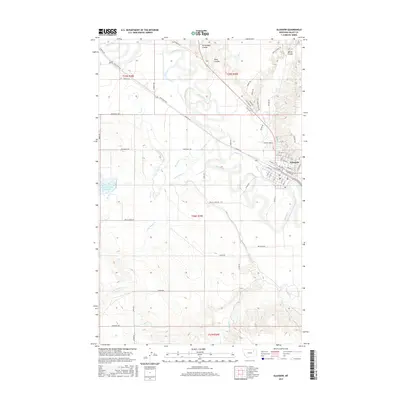
1958 Glasgow
Valley County, MT
1958 Glasgow
Valley County, MT
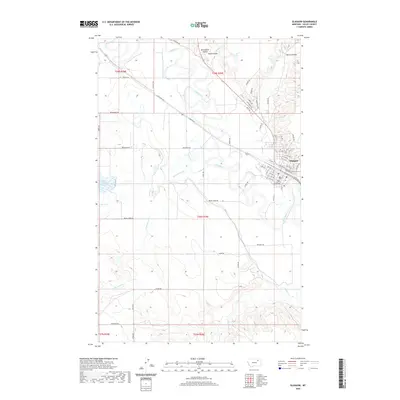
1984 Glasgow
Valley County, MT
2011 Glasgow
Valley County, MT
2014 Glasgow
Valley County, MT
2017 Glasgow
Valley County, MT
2020 Glasgow
Valley County, MT
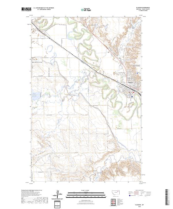
2024 Glasgow
Valley County, MT