
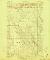
1915 Map of Todd Lakes
USGS Topo · Published 1915About this map
Fort Peck Indian Reservation dominates this landscape in northeastern Montana, surveyed when the high plains were divided into distinct tribal lands and vast grazing ranges. The drainage systems of Wolf Creek and its various branches, including the East Fork, West Fork, and Middle Fork, create a complex network of coulees and breaks that transition into the broader Tule Valley. This 1910 survey identifies the precise Boundary Line between Valley Sheridan counties, providing a clear view of the early political and tribal divisions of the era. The terrain is marked by seasonal water sources such as Little Porcupine Creek and Cottonwood Creek, reflecting a territory where water management and natural geography dictated the placement of early settlements and livestock trails.
Find a feature on this map
14 named features on this map. Tap any name to fly to it.
Don’t see what you’re looking for? This feature index may not catch every label — zoom into the map to look around manually.
Map Details
Editions of this 1915 Todd Lakes Map
This is the sole edition of this map. No revisions or reprints were ever made.
Other maps of this area

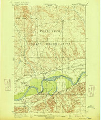
1910 · Todd Lakes
USGS Topo · 1:62,500
1915 · Tule Valley
USGS Topo · 1:62,500

1915 · Frazer
USGS Topo · 1:62,500

1915 · Oswego
USGS Topo · 1:62,500

1915 · Spring Creek
USGS Topo · 1:62,500
1916 · Wolf Point
USGS Topo · 1:62,500

1954 · Wolf Point
USGS Topo · 1:250,000

1954 · Glasgow
USGS Topo · 1:250,000

1957 · Glasgow
USGS Topo · 1:250,000

1958 · Wolf Point
USGS Topo · 1:250,000
Featured Places
- Wolf Point District, MT
- Frazer District, MT
- Oswego District, MT
- Lustre, Oswego District
- Roosevelt County, MT