Old Maps of Glasgow, Montana
Explore 17 old maps of Glasgow, spanning from 1943 to today. These high-resolution historic maps reveal how streets, neighborhoods, landmarks, and natural features evolved over time — perfect for genealogy, metal detecting, research, and local history exploration.
What you can do with these maps:
- See how Glasgow changed over time: Compare historical maps to modern-day views to trace roads, homesites, rail lines & more.
- View detailed metadata: Each map includes creators, publishers, year, scale, and archive source.
- Overlay maps with satellite & LiDAR: Visualize the past alongside modern tools to explore terrain & human change.
- Trusted historical sources: Maps sourced from the USGS, Library of Congress, and other archives.
- Access maps your way: View online, download high-res files, or order prints for personal or research use.
Start exploring old maps of Glasgow to uncover forgotten places, hidden landmarks, and the deep history beneath your feet.
Glasgow, MT maps
(17)- 1943 Map of Glasgow
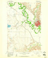
 1943 Glasgow1943 Print · USGSThe Milk River valley in northeastern Montana is captured here as it appeared during the early 1940s. Genealogists and local historians can trace the growth of rail-side towns like Glasgow, Vandalia, and Tampico while locating features like Griffiths Reservoir.
 - 1954 Map of Glasgow, 1967 Print
 1954 Glasgow1967 Print · USGSNortheastern Montana is shown during the mid-fifties as the rail-and-river economy shaped the plains. Trace family roots and vanished landmarks from the Wendell Post Office to the Great Northern sidings at Ashfield and Hinsdale.2 unique versions available
 - 1957 Map of Glasgow
 1957 Glasgow1957 Print · USGSNortheastern Montana during the late 1950s shows a landscape shaped by the Milk River and the expanding influence of the Fort Peck Lake reservoir. Genealogists and historians can trace the Great Northern rail stops from Malta to Glasgow, including old sidings like Kintyre Siding and rural centers like Opheim.
 - 1958 Map of Glasgow
 1958 Glasgow1958 Print · USGSNortheastern Montana comes to life in this mid-century survey of the Milk River valley and the Great Northern rail corridor. Researchers can trace the rise and fall of work camps like New Deal and Wheeler alongside remote landmarks like the Wendell Post Office.2 unique versions available
 - 1958 Map of Glasgow, 1960 Print
 1958 Glasgow1960 Print · USGSGlasgow and its surrounding river valley are shown here in the late fifties as a bustling regional hub along the Great Northern rail line. Researchers can trace the town's social fabric through landmarks like the St Raphael Sch, the Deaconess Hospital, and the outlying settlement of Paisley.3 unique versions available
 - 1958 Map of Whately, 1960 Print
 1958 Whately1960 Print · USGSIn the late 1950s, the Valley County landscape was defined by the winding Milk River and the vital Great Northern rail line. Genealogists and historians can locate Whately, trace the Vandalia South Canal, or find the Glasgow Highland Cem.3 unique versions available
 - 1984 Map of Glasgow
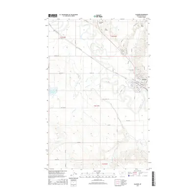
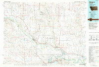 1984 Glasgow1984 Print · USGSNorthwestern Montana's river valleys and high plains are shown in the mid-1980s, centered on the hub of Glasgow. Genealogists and historians can trace the Burlington Northern line through riverside towns like Tampico and Nashua or explore the vast Fort Peck Indian Reservation.
 - 2011 Map of Glasgow, 2011 Print
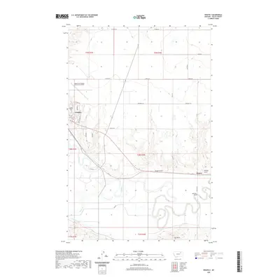
 2011 Glasgow2011 Print · USGSCovers Glasgow, including Valley County, United States, and other nearby areas
 - 2011 Map of Whately, 2011 Print
 2011 Whately2011 Print · USGSCovers Glasgow, including Whately, Valley County, and other nearby areas
 - 2014 Map of Whately, 2014 Print
 2014 Whately2014 Print · USGSCovers Glasgow, including Whately, Valley County, and other nearby areas
 - 2014 Map of Glasgow, 2014 Print
 2014 Glasgow2014 Print · USGSCovers Glasgow, including Valley County, United States, and other nearby areas
 - 2017 Map of Whately, 2017 Print
 2017 Whately2017 Print · USGSCovers Glasgow, including Whately, Valley County, and other nearby areas
 - 2017 Map of Glasgow, 2017 Print
 2017 Glasgow2017 Print · USGSCovers Glasgow, including Valley County, United States, and other nearby areas
 - 2020 Map of Glasgow, 2020 Print
 2020 Glasgow2020 Print · USGSCovers Glasgow, including Valley County, United States, and other nearby areas
 - 2020 Map of Whately, 2020 Print
 2020 Whately2020 Print · USGSCovers Glasgow, including Whately, Valley County, and other nearby areas
 - 2024 Map of Whately, 2024 Print
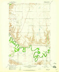
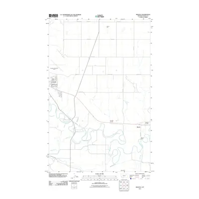
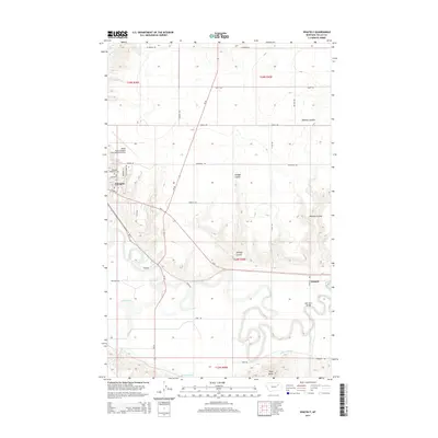
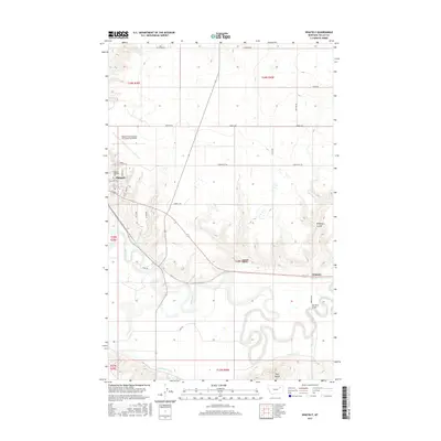
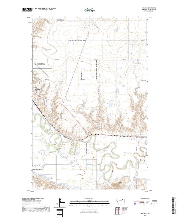 2024 Whately2024 Print · USGSThe Milk River valley south of Glasgow comes into focus in this contemporary survey of the Montana high plains. Researchers can trace the agricultural footprint of the Vandalia South Canal and locate rural landmarks like Tiger Butte and the settlement of Whately.
 - 2024 Map of Glasgow, 2024 Print
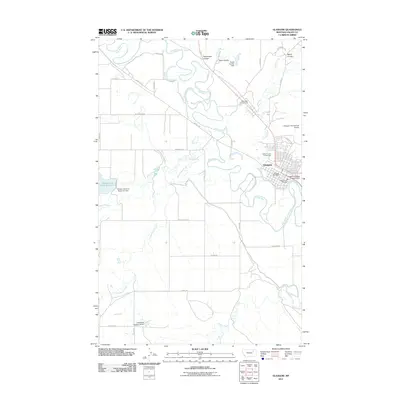
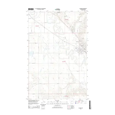
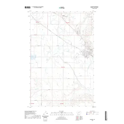
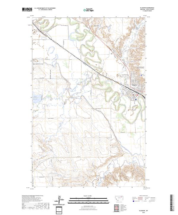 2024 Glasgow2024 Print · USGSThe city of Glasgow and its vital river valley are captured here in the modern era. Genealogists and researchers can trace the town’s layout from the Valley County Courthouse to the BNSF Railway, while exploring water systems like the Vandalia South Canal.
End of results
Showing maps 1-17 of 17
Frequently asked questions
- What are the different types of historical maps available for Glasgow?
- What is the oldest map of Glasgow?
- Where can I purchase historical maps of Glasgow for my home or office?
- Where can I download high-res historical maps of Glasgow?
- Are there historical topographic maps available for Glasgow?
- Is there historical aerial imagery available for Glasgow?
- Where are historical maps of Glasgow sourced from?