
1958 Map of Glasgow
USGS Topo · Published 1960About this map
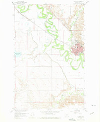
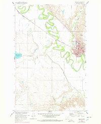
The Glasgow townsite sits at a sharp bend of the Milk River, where the Great Northern railroad dictates the local geometry of streets and industry. This mid-century survey reveals a community organized around its civic and religious institutions, including the St Raphael Ch, St Raphael Sch, and South Side Sch. Beyond the primary residential core, the map shows Glasgow Highlands and the settlement at Paisley to the northwest. The landscape is heavily influenced by water management and transit, featuring the Vandalia South Canal and a prominent Road on Levee tracing the river's southern bank. Cultural landmarks of the era are clearly visible, from the Drive-in Theater and Sunnyside Golf Course to the City and County Airport, illustrating the post-war expansion of this Valley County hub.
Find a feature on this map
27 named features on this map. Tap any name to fly to it.
Don’t see what you’re looking for? This feature index may not catch every label — zoom into the map to look around manually.
Map Details
Editions of this 1958 Glasgow Map
3 editions found
Other maps of this area

1943 · Glasgow
USGS Topo · 1:125,000

1954 · Glasgow
USGS Topo · 1:250,000

1957 · Glasgow
USGS Topo · 1:250,000

1958 · Glasgow
USGS Topo · 1:250,000

1958 · Engstrom Ranch
USGS Topo · 1:24,000

1958 · Miller Coulee
USGS Topo · 1:62,500
1958 · Blanchard Ranch
USGS Topo · 1:24,000

1958 · Wheeler
USGS Topo · 1:24,000

1958 · Whately
USGS Topo · 1:24,000
1969 · Tampico
USGS Topo · 1:24,000