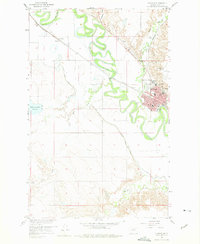
1958 Map of Glasgow
USGS Topo · Published 1975About this map
The Milk River meanders sharply across this landscape, defining the northern geography of Glasgow and its surrounding agricultural plains during the late 1950s. The city serves as a regional hub, anchored by the Great Northern railroad and civic landmarks like the Courthouse and Deaconess Hospital. To the south and west, the influence of irrigation is evident through the Vandalia South Canal and the complex Siphon system, which supported the local ranching and farming economy. Notable local social and recreational markers include the Sunnyside Golf Course and a Drive-in Theater situated north of the city center. Smaller settlements and neighborhoods such as Paisley and South Side appear alongside vital infrastructure like the City and County Airport, reflecting a period of mid-century growth in Valley County.
Find a feature on this map
28 named features on this map. Tap any name to fly to it.
Don’t see what you’re looking for? This feature index may not catch every label — zoom into the map to look around manually.
Map Details
Editions of this 1958 Glasgow Map
3 editions found
Other maps of this area

1943 · Glasgow
USGS Topo · 1:125,000

1954 · Glasgow
USGS Topo · 1:250,000

1957 · Glasgow
USGS Topo · 1:250,000

1958 · Glasgow
USGS Topo · 1:250,000

1958 · Engstrom Ranch
USGS Topo · 1:24,000

1958 · Miller Coulee
USGS Topo · 1:62,500

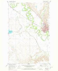
1958 · Glasgow
USGS Topo · 1:24,000
1958 · Blanchard Ranch
USGS Topo · 1:24,000

1958 · Wheeler
USGS Topo · 1:24,000

1958 · Whately
USGS Topo · 1:24,000