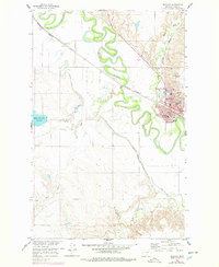
1958 Map of Glasgow
USGS Topo · Published 1978About this map
Glasgow sits at a strategic bend where Cherry Creek meets the meandering Milk River, serving as a critical rail and agricultural hub in Valley County. The settlement pattern is defined by the Burlington Northern railroad, which bisects the town and separates the main residential grid from the South Side district. Educational and community life is centered around institutions like Glasgow High Sch, Irle Sch, and the St Raphael church, while the presence of the County Fairground and Sunnyside Golf Course points to its role as a regional social center.
Find a feature on this map
41 named features on this map. Tap any name to fly to it.
Don’t see what you’re looking for? This feature index may not catch every label — zoom into the map to look around manually.
Map Details
Editions of this 1958 Glasgow Map
3 editions found
Other maps of this area

1943 · Glasgow
USGS Topo · 1:125,000

1954 · Glasgow
USGS Topo · 1:250,000

1957 · Glasgow
USGS Topo · 1:250,000

1958 · Glasgow
USGS Topo · 1:250,000

1958 · Engstrom Ranch
USGS Topo · 1:24,000

1958 · Miller Coulee
USGS Topo · 1:62,500

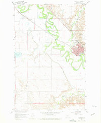
1958 · Glasgow
USGS Topo · 1:24,000
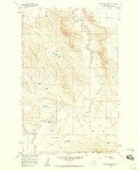
1958 · Blanchard Ranch
USGS Topo · 1:24,000

1958 · Wheeler
USGS Topo · 1:24,000

1958 · Whately
USGS Topo · 1:24,000