
1943 Map of Glasgow
USGS Topo · Published 1943About this map
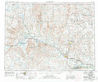
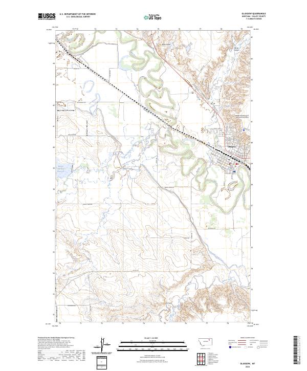
Milk River dominates this landscape, its meandering path carving through Valley County as it flows past a string of established rail-side settlements. This 1943 compilation, based on work by the Corps of Engineers, illustrates the critical relationship between the river's water resources and early Montana development. The town of Glasgow serves as a regional hub, while smaller outposts like Vandalia, Tampico, Paisley, and Whateley dot the transportation corridor. To the south of the river, the terrain rises toward Tiger Butte, and water management is visible at Griffiths Reservoir. Tributaries such as Brazil Creek, Cherry Creek, and Willow Creek feed into the main valley, defining the local drainage patterns. Large swaths of the southern portion are marked as an Unsurveyed Area, reflecting the frontier state of the mapping in the early 20th-century Western Department.
Find a feature on this map
26 named features on this map. Tap any name to fly to it.
Don’t see what you’re looking for? This feature index may not catch every label — zoom into the map to look around manually.
Map Details
Editions of this 1943 Glasgow Map
This is the sole edition of this map. No revisions or reprints were ever made.
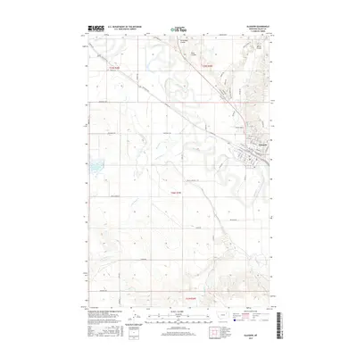
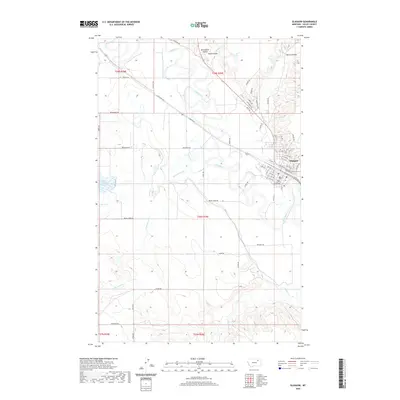
Historical Maps of Glasgow Through Time
11 maps found
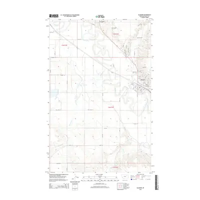
1943 Glasgow
Valley County, MT
1954 Glasgow
Valley County, MT

1957 Glasgow
Valley County, MT

1958 Glasgow
Valley County, MT
1958 Glasgow
Valley County, MT
1984 Glasgow
Valley County, MT
2011 Glasgow
Valley County, MT
2014 Glasgow
Valley County, MT
2017 Glasgow
Valley County, MT
2020 Glasgow
Valley County, MT
2024 Glasgow
Valley County, MT