
1958 Map of Whately
USGS Topo · Published 1960About this map
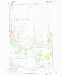
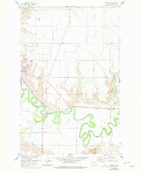
The Milk River meanders in tight, complex loops across this 1950s landscape, illustrating the intricate hydrology of the northern Missouri River Basin. Following the river's northern bank, the Great Northern railroad tracks pass through the settlement of Whately, which serves as a small rail and agricultural node supported by a nearby Substation. The map details early irrigation efforts in Valley County, featuring the Vandalia South Canal and an Aqueduct, which indicate the region's managed water systems for ranching and farming. On the higher ground north of the river, the City and County Airport and the Glasgow Highland Cem sit near the city limits. This survey highlights the contrast between the flat, productive river bottomlands and the rising terrain of Tiger Butte to the south, while tracing the essential transportation and utility corridors of the late 1950s.
Find a feature on this map
16 named features on this map. Tap any name to fly to it.
Don’t see what you’re looking for? This feature index may not catch every label — zoom into the map to look around manually.
Map Details
Editions of this 1958 Whately Map
Other maps of this area

1914 · Nashua
USGS Topo · 1:62,500

1916 · Nashua
USGS Topo · 1:62,500

1918 · Porcupine Valley
USGS Topo · 1:62,500

1943 · Glasgow
USGS Topo · 1:125,000

1954 · Glasgow
USGS Topo · 1:250,000

1957 · Glasgow
USGS Topo · 1:250,000

1958 · Glasgow
USGS Topo · 1:250,000

1958 · Glasgow
USGS Topo · 1:24,000
1958 · Blanchard Ranch
USGS Topo · 1:24,000

1958 · Wheeler
USGS Topo · 1:24,000