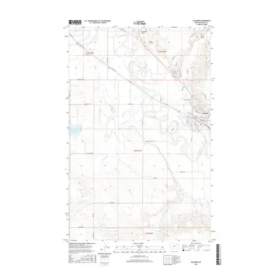
2017 Map of Glasgow
USGS Topo · Published 2017About this map
Glasgow serves as the regional hub at the convergence of the Milk River and Cherry Cr, anchoring this 2017 survey of the High Plains. The landscape is defined by its drainage patterns, with the river meandering through a wide valley while intricate coulees like Richardson Coulee, Rock Coulee, and Martin Coulee carve into the surrounding uplands. The street grid of the town is bordered by the industrial corridor of Railroad Aly, reflecting the area's historical reliance on rail transport.
Find a feature on this map
61 named features on this map. Tap any name to fly to it.
Don’t see what you’re looking for? This feature index may not catch every label — zoom into the map to look around manually.
Map Details
Editions of this 2017 Glasgow Map
This is the sole edition of this map. No revisions or reprints were ever made.
Other maps of this area
1943 · Glasgow
USGS Topo · 1:125,000

1954 · Glasgow
USGS Topo · 1:250,000

1957 · Glasgow
USGS Topo · 1:250,000

1958 · Glasgow
USGS Topo · 1:250,000
1958 · Engstrom Ranch
USGS Topo · 1:24,000
1958 · Miller Coulee
USGS Topo · 1:62,500
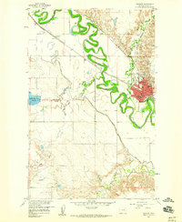
1958 · Glasgow
USGS Topo · 1:24,000
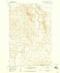
1958 · Blanchard Ranch
USGS Topo · 1:24,000
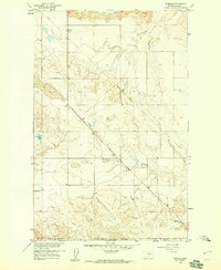
1958 · Wheeler
USGS Topo · 1:24,000
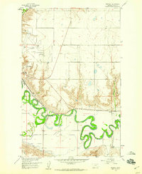
1958 · Whately
USGS Topo · 1:24,000