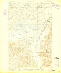
1905 Map of Bowdoin
USGS Topo · Published 1905About this map
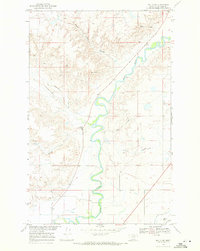
Great Northern rail lines and early irrigation efforts define this 1903 survey of the Montana plains. The landscape is dominated by the expansive Lake Bowdoin and the meandering Beaver Creek, where numerous dams and a ditch system reflect the work of the Reclamation Service in the early twentieth century. Small railroad settlements and isolated outposts like Ashfield, Bowdoin, and Bradys Ranch serve as the primary human markers in a terrain characterized by the rising Larb Hills and the deep cut of Vanton Coulee. To the north, the Milk River skirts the edge of the quadrangle near Lone Tree Lake and Mud Lake. This map captures a period of transition as the federal government actively managed water resources to support the growing ranching and transportation networks of Valley County.
Find a feature on this map
14 named features on this map. Tap any name to fly to it.
Don’t see what you’re looking for? This feature index may not catch every label — zoom into the map to look around manually.
Map Details
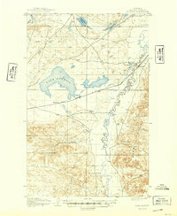
Editions of this 1905 Bowdoin Map
2 editions found
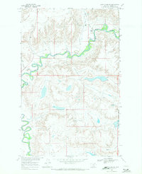
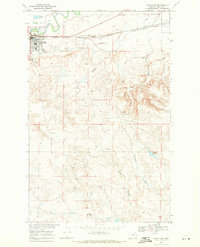
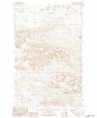
Other maps of this area
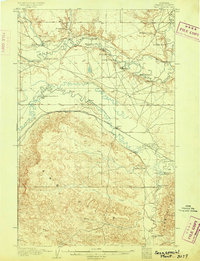
1905 · Saco Special
USGS Topo · 1:62,500

1920 · Cowan
USGS Topo · 1:125,000

1954 · Glasgow
USGS Topo · 1:250,000

1957 · Glasgow
USGS Topo · 1:250,000

1958 · Glasgow
USGS Topo · 1:250,000
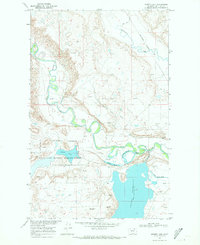
1968 · Hewitt Lake
USGS Topo · 1:24,000
1968 · Malta NE
USGS Topo · 1:24,000
1968 · Hewitt Lake SW
USGS Topo · 1:24,000
1968 · Malta East
USGS Topo · 1:24,000
1984 · Clanton Coulee
USGS Topo · 1:24,000