Old Maps of North Side, Billings
Explore 10 old maps of North Side, spanning from 1954 to today. These high-resolution historic maps reveal how streets, neighborhoods, landmarks, and natural features evolved over time — perfect for genealogy, metal detecting, research, and local history exploration.
What you can do with these maps:
- See how North Side changed over time: Compare historical maps to modern-day views to trace roads, homesites, rail lines & more.
- View detailed metadata: Each map includes creators, publishers, year, scale, and archive source.
- Overlay maps with satellite & LiDAR: Visualize the past alongside modern tools to explore terrain & human change.
- Trusted historical sources: Maps sourced from the USGS, Library of Congress, and other archives.
- Access maps your way: View online, download high-res files, or order prints for personal or research use.
Start exploring old maps of North Side to uncover forgotten places, hidden landmarks, and the deep history beneath your feet.
North Side, Billings maps
(10)- 1954 Map of Billings, 1963 Print
 1954 Billings1963 Print · USGSThe Yellowstone valley during the mid-fifties shows a landscape of thriving rail towns and high-mountain outposts. Genealogists and historians can trace old homesteads and mining routes near Red Lodge, Bearcreek, and along the Bighorn River.4 unique versions available
 - 1957 Map of Billings
 1957 Billings1957 Print · USGSThe Yellowstone River valley and the rugged Beartooth Mountains meet in the mid-1950s near the growing hub of Billings. Genealogists and researchers can trace rail and ranching history through river towns like Columbus, the mining heritage of Red Lodge, and the vast Crow Indian Reservation.
 - 1957 Map of Billings West, 1958 Print
 1957 Billings West1958 Print · USGSThe Yellowstone River valley and the towering Rimrocks define this Montana community during a period of rapid mid-century expansion. Researchers can trace the development of local institutions from Rocky Mountain College to the Naval Reserve Armory and the historic Mountview Cem.3 unique versions available
 - 1958 Map of Billings
 1958 Billings1958 Print · USGSMid-century Montana comes alive in this survey of the Yellowstone Valley as the regional rail and road networks reached their peak. Trace family roots and old routes near Billings, the Crow Indian Reservation, and the heights of the Beartooth Mountains.2 unique versions available
 - 1989 Map of Billings
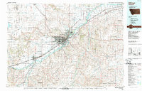 1989 Billings1989 Print · USGSThe Billings area in the late eighties shows a major regional hub at the height of its rail and river influence. Genealogists and historians can trace the development of outlying towns like Worden and Park City or the boundaries of the Crow Indian Reservation.
 - 2011 Map of Billings West, 2011 Print
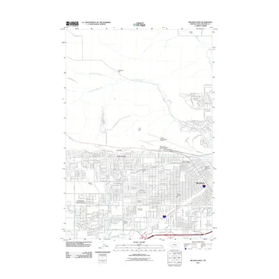 2011 Billings West2011 Print · USGSBillings at the start of the decade shows a sprawling urban landscape meeting the high sandstone bluffs of the Rimrocks. Researchers can trace old irrigation systems like Grey Eagle Ditch and find historical burial sites such as Beth Aaron Cemetery.
 - 2014 Map of Billings West, 2014 Print
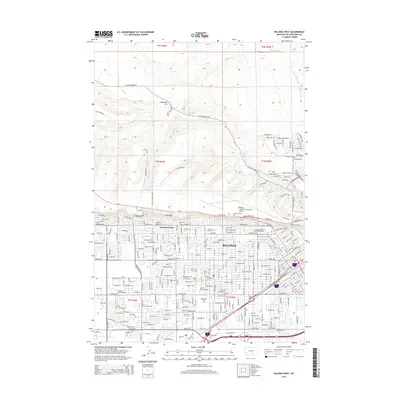 2014 Billings West2014 Print · USGSThe Yellowstone River valley and the towering Rimrocks plateau define the landscape of Billings in the early twenty-first century. Genealogists and local historians can trace the city's growth around Montana State University-Billings and several major cemeteries including Mountview Cem and Calvary Cem.
 - 2017 Map of Billings West, 2017 Print
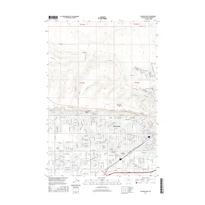 2017 Billings West2017 Print · USGSBillings and its western suburbs are captured here in the mid-2010s, showing the city's unique relationship with the Rimrocks bluffs. Genealogists and researchers can trace family sites near Mountview Cem or explore the routes of the Billings Bench Water Association Canal and Grey Eagle Ditch.
 - 2020 Map of Billings West, 2020 Print
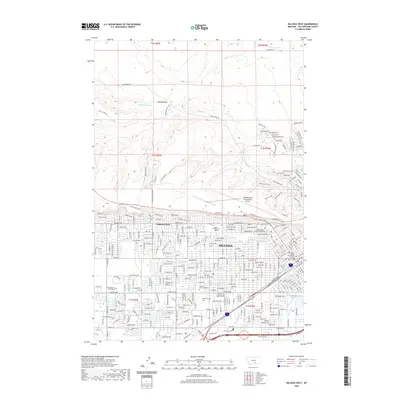 2020 Billings West2020 Print · USGSBillings and its western suburbs are shown at a period of significant modern expansion beneath the towering Rimrocks cliffs. Researchers can trace the layout of MSU Billings and find family records at Mountview Cem or Calvary Cem.
 - 2024 Map of Billings West, 2024 Print
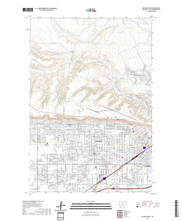 2024 Billings West2024 Print · USGSBillings and the Yellowstone Valley are shown in the 2020s as the city expands beneath the iconic Rimrocks. Researchers can trace local history through numerous sites like Mountview Cem, the Rocky Mountain College campus, and the complex Big Ditch irrigation network.
End of results
Showing maps 1-10 of 10
Frequently asked questions
- What are the different types of historical maps available for North Side?
- What is the oldest map of North Side?
- Where can I purchase historical maps of North Side for my home or office?
- Where can I download high-res historical maps of North Side?
- Are there historical topographic maps available for North Side?
- Is there historical aerial imagery available for North Side?
- Where are historical maps of North Side sourced from?