Old Maps of Neligh, Nebraska for Metal Detecting
Plan your next treasure hunt with 15 historic maps of Neligh. Find old homesites, ghost towns, trails, and gathering spots that may be lost to time — perfect for identifying promising metal detecting locations.
- Locate forgotten sites: Uncover places like long-lost settlements, abandoned rail lines, or gathering spots.
- Plan better hunts: Use map overlays combined with LiDAR or satellite views to narrow in on historically rich areas.
- Made for detectorists: Thousands of hobbyists use these maps to discover relics, coins, and hidden history.
Use these historic maps to boost your research and find new opportunities beneath the surface of Neligh.
Neligh, NE maps
(15)- 1955 Map of O'Neill, 1974 Print
 1955 O'Neill1974 Print · USGSNorth-central Nebraska in the 1950s reveals a vast cattle-ranching landscape transitioning from the Missouri River breaks to the iconic Sand Hills. Researchers can trace the path of the Chicago and North Western rail line and locate rural landmarks like the Dustin Post Office and St Johns Lake Ch.2 unique versions available
 - 1959 Map of O'Neill
 1959 O'Neill1959 Print · USGSNorth-central Nebraska in the late fifties is defined by the vast Sand Hills and the vital Chicago and North Western rail line. Genealogists and researchers can trace family roots through settlements like Atkinson, Bassett, and Stuart or follow the waters of the Niobrara River.2 unique versions available
 - 1963 Map of Neligh, 1964 Print
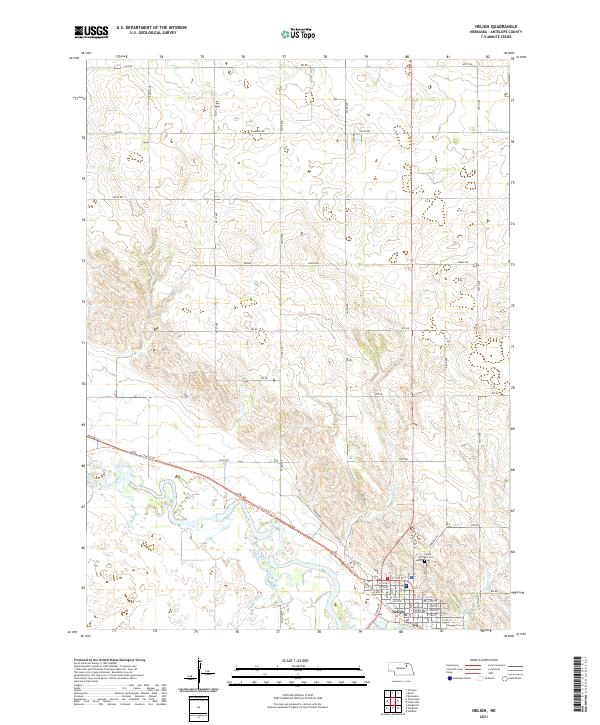
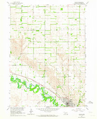 1963 Neligh1964 Print · USGSAntelope County life centered on the Elkhorn River valley during the early sixties, where the railroad and river dictated the layout of the land. Researchers can find numerous rural schoolhouses like Grecian Bend School and trace the original Chicago and North Western rail line.2 unique versions available
 - 1963 Map of Neligh SE, 1964 Print
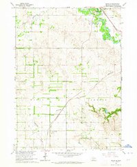 1963 Neligh SE1964 Print · USGSAntelope County in the early sixties reveals a landscape of prairie townships and river valleys shaped by the rail economy. Genealogists and historians can locate rural landmarks like St Boniface Cem, Needmore Sch, and the Drive-in Theater near Neligh.2 unique versions available
 - 1969 Map of O'Neill
 1969 O'Neill1969 Print · USGSCentral Nebraska in the mid-fifties is defined here by the expansive Sand Hills and the winding Niobrara River. Trace the Chicago and North Western rail line through cattle towns like O'Neill and Ainsworth.
 - 1985 Map of O'Neill
 1985 O'Neill1985 Print · USGSThe Elkhorn River valley and its surrounding plains are captured in the mid-1980s, showing a landscape defined by rail lines and ranching hubs. Genealogists and local historians can trace the rail networks of the Chicago and North Western and find smaller locales like Knievels Corner, Amelia, and Venus.2 unique versions available
 - 1989 Map of O'Neill
 1989 O'Neill1989 Print · USGSThe Nebraska-South Dakota borderlands are captured here in the late eighties, documenting the ranching and rail infrastructure of the High Plains. Genealogists and collectors can trace historic prairie towns like Monowi, Pishelville, and Santee along the Niobrara River.
 - 2011 Map of Neligh SE, 2011 Print
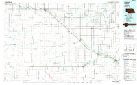
 2011 Neligh SE2011 Print · USGSCovers Neligh, including Antelope County, United States, and other nearby areas
 - 2011 Map of Neligh, 2011 Print
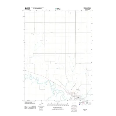 2011 Neligh2011 Print · USGSCovers Neligh, including Antelope County, United States, and other nearby areas
 - 2014 Map of Neligh, 2014 Print
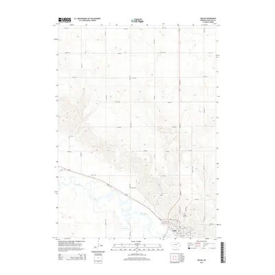 2014 Neligh2014 Print · USGSCovers Neligh, including Antelope County, United States, and other nearby areas
 - 2014 Map of Neligh SE, 2014 Print
 2014 Neligh SE2014 Print · USGSCovers Neligh, including Antelope County, United States, and other nearby areas
 - 2017 Map of Neligh, 2017 Print
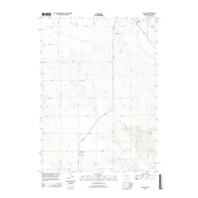
 2017 Neligh2017 Print · USGSCovers Neligh, including Antelope County, United States, and other nearby areas
 - 2017 Map of Neligh SE, 2017 Print
 2017 Neligh SE2017 Print · USGSCovers Neligh, including Antelope County, United States, and other nearby areas
 - 2021 Map of Neligh SE, 2021 Print
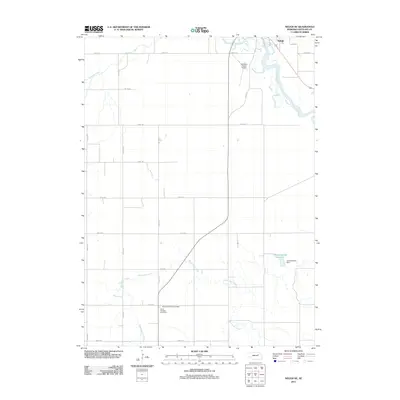
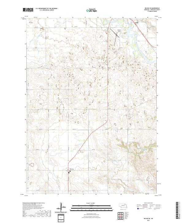 2021 Neligh SE2021 Print · USGSAntelope County agriculture and river life are captured here during the early twenty-first century. Genealogists and local historians can trace the Cowboy Trl corridor or locate family sites near Saint Boniface Cem and West Cedar Valley Cem.
 - 2021 Map of Neligh, 2021 Print
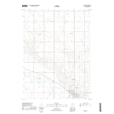
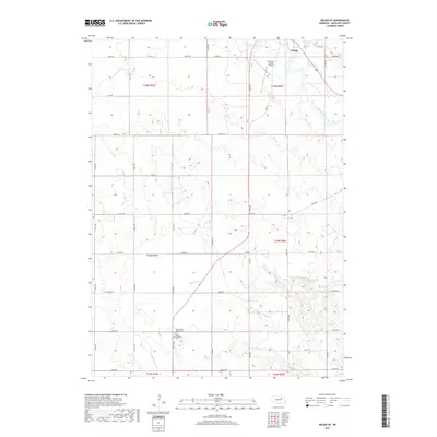
 2021 Neligh2021 Print · USGSNeligh and the winding Elkhorn River valley are captured here in the early twenty-first century as the region maintains its agricultural roots. Researchers can locate Laurel Hill Cemetery, the Antelope County Courthouse, and the long path of the Cowboy Trail.
End of results
Showing maps 1-15 of 15
Top cities near Neligh
- Tilden historical maps
- Elgin historical maps
- Clearwater historical maps
- Orchard historical maps
- Oakdale historical maps
- Brunswick historical maps
See more
Frequently asked questions
- What are the different types of historical maps available for Neligh?
- What is the oldest map of Neligh?
- Where can I purchase historical maps of Neligh for my home or office?
- Where can I download high-res historical maps of Neligh?
- Are there historical topographic maps available for Neligh?
- Is there historical aerial imagery available for Neligh?
- Where are historical maps of Neligh sourced from?