Old Maps of Orchard, Nebraska for Hiking & Exploration
Hike through history with 15 historic maps of Orchard. Explore old trails, ghost towns, and forgotten backroads — perfect for outdoor adventurers and local explorers.
- Rediscover forgotten places: Map out old mining camps, roads, and footpaths that no longer exist on modern maps.
- Layer with modern tools: Combine with LiDAR or satellite views to plan hikes through historical terrain.
- Made for exploration: Popular among hikers, overlanders, and local history lovers.
Use these maps to find adventure and explore the hidden past of Orchard.
Orchard, NE maps
(15)- 1955 Map of O'Neill, 1974 Print
 1955 O'Neill1974 Print · USGSNorth-central Nebraska in the 1950s reveals a vast cattle-ranching landscape transitioning from the Missouri River breaks to the iconic Sand Hills. Researchers can trace the path of the Chicago and North Western rail line and locate rural landmarks like the Dustin Post Office and St Johns Lake Ch.2 unique versions available
 - 1959 Map of O'Neill
 1959 O'Neill1959 Print · USGSNorth-central Nebraska in the late fifties is defined by the vast Sand Hills and the vital Chicago and North Western rail line. Genealogists and researchers can trace family roots through settlements like Atkinson, Bassett, and Stuart or follow the waters of the Niobrara River.2 unique versions available
 - 1963 Map of Orchard, 1964 Print
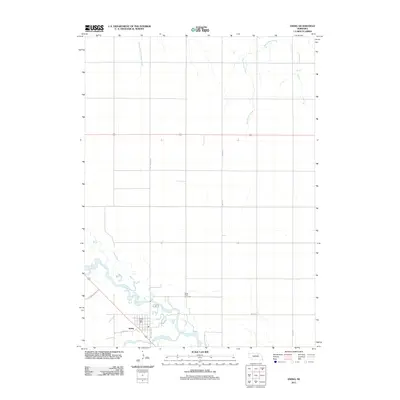
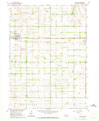 1963 Orchard1964 Print · USGSAntelope County in the early 1960s shows a landscape defined by the straight rails of the Chicago Burlington and Quincy. Genealogists can locate family landmarks at Orchard Cem, Highland Sch, and the small settlement of Royal.2 unique versions available
 - 1963 Map of Ewing, 1964 Print
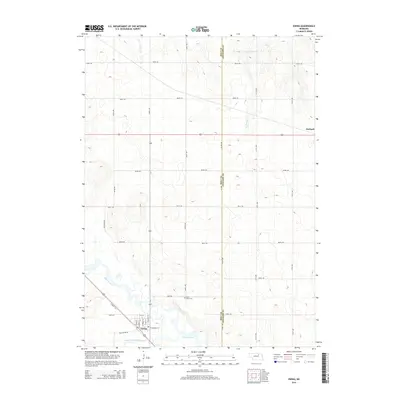
 1963 Ewing1964 Print · USGSEwing and the surrounding Nebraska townships thrive along the river forks during the early sixties. Genealogists and local historians can trace the paths of the Chicago and North Western railroad or locate landmarks like St Peter Cem and Emporia Sch.2 unique versions available
 - 1969 Map of O'Neill
 1969 O'Neill1969 Print · USGSCentral Nebraska in the mid-fifties is defined here by the expansive Sand Hills and the winding Niobrara River. Trace the Chicago and North Western rail line through cattle towns like O'Neill and Ainsworth.
 - 1985 Map of O'Neill
 1985 O'Neill1985 Print · USGSThe Elkhorn River valley and its surrounding plains are captured in the mid-1980s, showing a landscape defined by rail lines and ranching hubs. Genealogists and local historians can trace the rail networks of the Chicago and North Western and find smaller locales like Knievels Corner, Amelia, and Venus.2 unique versions available
 - 1989 Map of O'Neill
 1989 O'Neill1989 Print · USGSThe Nebraska-South Dakota borderlands are captured here in the late eighties, documenting the ranching and rail infrastructure of the High Plains. Genealogists and collectors can trace historic prairie towns like Monowi, Pishelville, and Santee along the Niobrara River.
 - 2011 Map of Orchard, 2011 Print
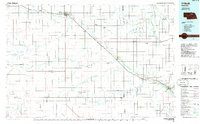
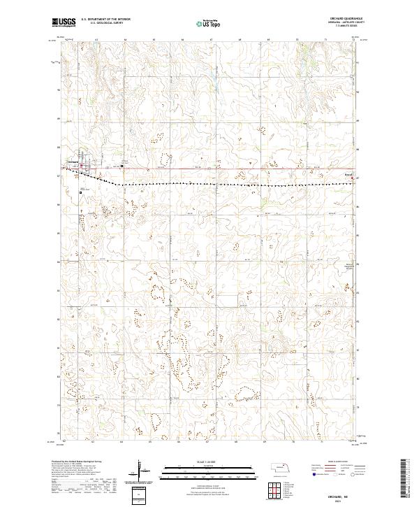
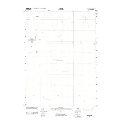 2011 Orchard2011 Print · USGSCovers Orchard, including Royal, Antelope County, and other nearby areas
 - 2011 Map of Ewing, 2011 Print
 2011 Ewing2011 Print · USGSCovers Orchard, including Ewing, Holt County, and other nearby areas
 - 2014 Map of Orchard, 2014 Print
 2014 Orchard2014 Print · USGSCovers Orchard, including Royal, Antelope County, and other nearby areas
 - 2014 Map of Ewing, 2014 Print
 2014 Ewing2014 Print · USGSCovers Orchard, including Ewing, Holt County, and other nearby areas
 - 2017 Map of Orchard, 2017 Print
 2017 Orchard2017 Print · USGSCovers Orchard, including Royal, Antelope County, and other nearby areas
 - 2017 Map of Ewing, 2017 Print
 2017 Ewing2017 Print · USGSCovers Orchard, including Ewing, Holt County, and other nearby areas
 - 2021 Map of Ewing, 2021 Print
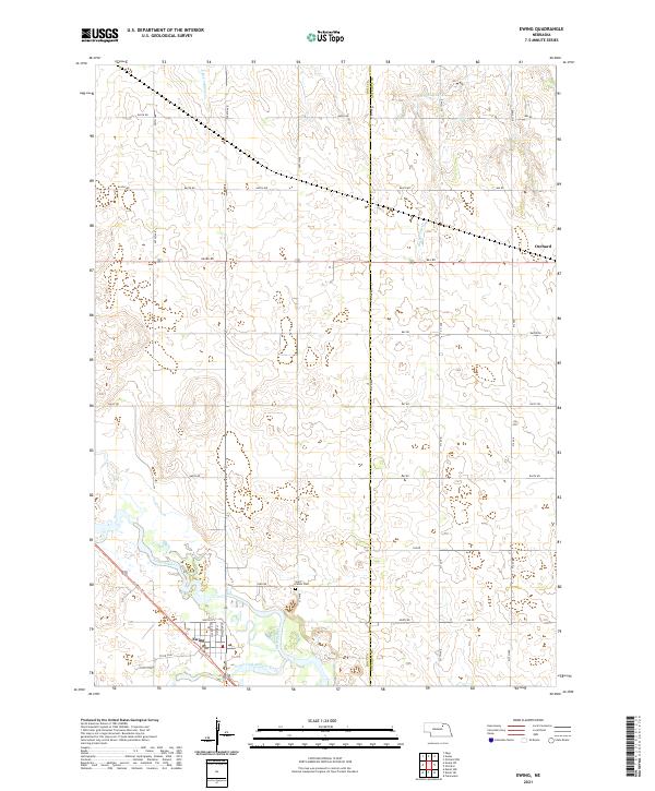 2021 Ewing2021 Print · USGSThe community of Ewing is captured here in the early twenty-first century at the confluence of the Elkhorn River forks. Researchers can trace the path of the Cowboy Trail and locate local landmarks like Saint Peters Cem and the outskirts of Orchard.
 - 2021 Map of Orchard, 2021 Print
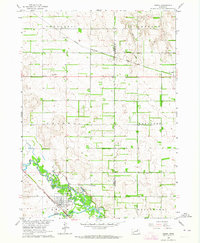
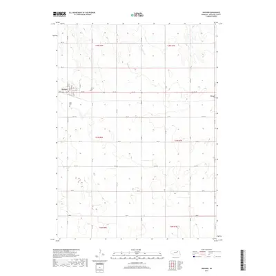
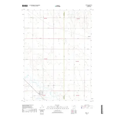
 2021 Orchard2021 Print · USGSAntelope County, Nebraska, is seen here in a modern era of precise agricultural grids and rural aviation. Researchers can locate family roots at Orchard Hill Cem or Saint Peters Cem, and trace the paths of Hathaway Slough and Hay Cr.
End of results
Showing maps 1-15 of 15
Top cities near Orchard
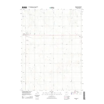
- Neligh historical maps
- Ewing historical maps
- Clearwater historical maps
- Page historical maps
- Deloit historical maps
- Royal historical maps
Frequently asked questions
- What are the different types of historical maps available for Orchard?
- What is the oldest map of Orchard?
- Where can I purchase historical maps of Orchard for my home or office?
- Where can I download high-res historical maps of Orchard?
- Are there historical topographic maps available for Orchard?
- Is there historical aerial imagery available for Orchard?
- Where are historical maps of Orchard sourced from?