Old Maps of Primrose, Nebraska for Academic Research
Study the evolution of Primrose with 13 high-resolution historic maps. Whether you're teaching, researching, or modeling changes in land use, these maps provide essential visual documentation of urban, environmental, and geographic change.
- Analyze long-term change: Track patterns in development, transportation, and natural features.
- Ideal for environmental or urban studies: Support academic projects with primary historical map data.
- Use in the classroom or lab: Educators and researchers rely on these maps to bring historical context to life.
These maps are a powerful tool for teaching, research, and visualizing how Primrose has changed over the decades.
Primrose, NE maps
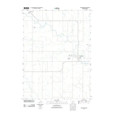
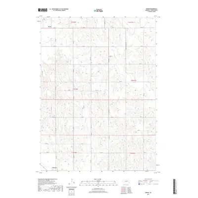
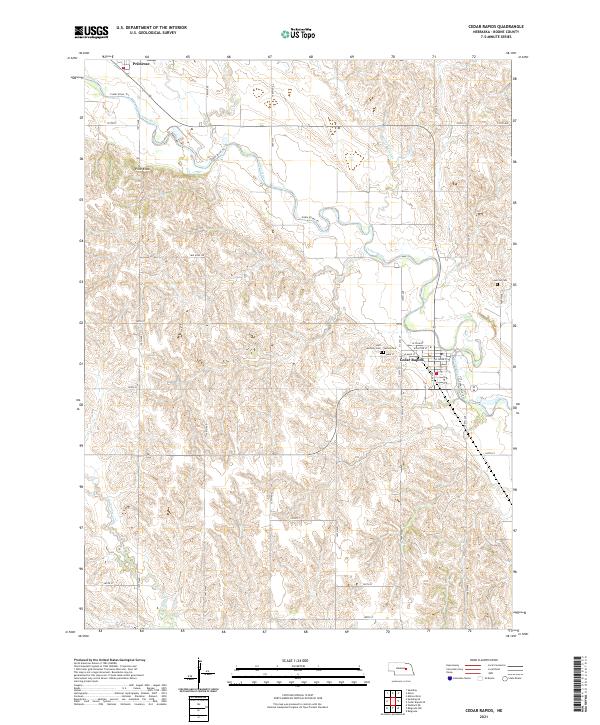
(13)- 1954 Map of Cedar Rapids, 1956 Print
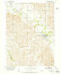 1954 Cedar Rapids1956 Print · USGSThe Cedar River valley in the mid-fifties shows a prosperous Nebraska rail-and-river landscape shaped by the Union Pacific. Genealogists and local historians can trace family roots at St Anthony Cem or locate rural landmarks like Standard Sch and Pilot Knob.3 unique versions available
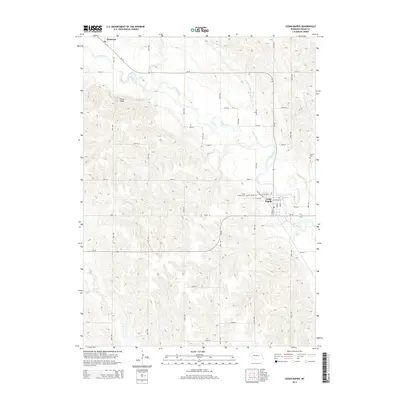
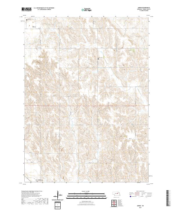
 - 1954 Map of Akron, 1956 Print
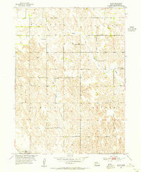 1954 Akron1956 Print · USGSBoone County, Nebraska, is seen here during the mid-fifties, when small country schoolhouses and family cemeteries still dotted the prairie between farmsteads. Genealogists can locate specific homesteads near Akron and Primrose, or trace ancestors at Dennison Cem and Pleasant Valley Sch.3 unique versions available
 - 1955 Map of Broken Bow
 1955 Broken Bow1955 Print · USGSCentral Nebraska in the mid-fifties is defined by the sweeping Sand Hills and the vital river valleys that supported its ranching and rail towns. Researchers can trace the rail corridors of the Union Pacific RR and locate settlements like Dannebrog, Broken Bow, and Brewster.5 unique versions available
 - 1956 Map of Broken Bow
 1956 Broken Bow1956 Print · USGSCentral Nebraska during the mid-fifties reveals a region defined by its river-valley railroads and the rolling Sand Hills. Genealogists and local historians can trace the paths of the Chicago Burlington and Quincy through towns like Broken Bow, Merna, and Anselmo.
 - 1985 Map of Ord
 1985 Ord1985 Print · USGSCentral Nebraska's river valleys were defined by the rail and irrigation networks of the mid-1980s. Genealogists can trace family roots in towns like Ord and Albion or locate landmarks like Pilot Knob and the Pibel Lake State Recreation Area.2 unique versions available
 - 2011 Map of Akron, 2011 Print
 2011 Akron2011 Print · USGSCovers Primrose, including Akron, Boone County, and other nearby areas
 - 2011 Map of Cedar Rapids, 2011 Print
 2011 Cedar Rapids2011 Print · USGSCovers Primrose, including Cedar Rapids, Primrose, abandoned school, and other nearby areas
 - 2014 Map of Cedar Rapids, 2014 Print
 2014 Cedar Rapids2014 Print · USGSCovers Primrose, including Cedar Rapids, Primrose, abandoned school, and other nearby areas
 - 2014 Map of Akron, 2014 Print
 2014 Akron2014 Print · USGSCovers Primrose, including Akron, Boone County, and other nearby areas
 - 2017 Map of Cedar Rapids, 2017 Print
 2017 Cedar Rapids2017 Print · USGSCovers Primrose, including Cedar Rapids, Primrose, abandoned school, and other nearby areas
 - 2017 Map of Akron, 2017 Print
 2017 Akron2017 Print · USGSCovers Primrose, including Akron, Boone County, and other nearby areas
 - 2021 Map of Akron, 2021 Print
 2021 Akron2021 Print · USGSBoone County farmland and rural settlements are documented here in the early 2020s. Researchers can locate family heritage sites like Akron Cem and Dennison Cem or trace the winding courses of Plum Cr and Silver Valley Cr.
 - 2021 Map of Cedar Rapids, 2021 Print
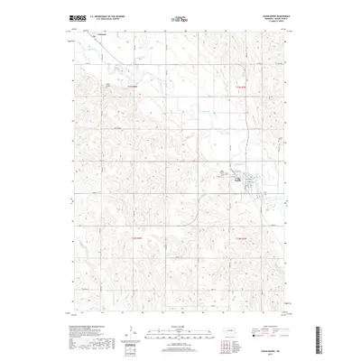
 2021 Cedar Rapids2021 Print · USGSBoone County's agricultural heartland is documented here in the early 2020s, centered on the riverfront town of Cedar Rapids. Genealogists and historians can trace local landmarks like Saint Anthony Cem, the high ground of Pilot Knob, and the village of Primrose.
End of results
Showing maps 1-13 of 13
Top cities near Primrose
- Albion historical maps
- Spalding historical maps
- Cedar Rapids historical maps
- Wolbach historical maps
- Timber Creek historical maps
- Belgrade historical maps
See more
Top neighborhoods of Primrose
Frequently asked questions
- What are the different types of historical maps available for Primrose?
- What is the oldest map of Primrose?
- Where can I purchase historical maps of Primrose for my home or office?
- Where can I download high-res historical maps of Primrose?
- Are there historical topographic maps available for Primrose?
- Is there historical aerial imagery available for Primrose?
- Where are historical maps of Primrose sourced from?